Information complémentaire
| Marque | |
|---|---|
| Pays | |
| Région |


99.95$
Yukon – GPS Maps – BRMB – Garmin SD CODE : 622098002393
and of the Midnight Sun
Yukon is the westernmost of Canada’s northern territories and is home to much of the country’s remaining untouched wilderness. Mighty rivers flow through jaw-dropping mountain ranges, caribou roam the steppes in the thousands and a vibrant First Nations culture maintains thousands-of-years-old traditions amid some of the world’s most impressive natural landscapes. Whether you are taking on a multi-week paddle along one of Yukon’s pristine watersheds, catching a glimpse of the northern lights from a secluded campsite or enjoying a libation at a historic gold rush-era saloon, Yukon is brimming with adventure.
Unique to BRMB’s Yukon GPS Maps are feature POI sets of over 2.9 million searchable points including Oil and Gas Grid locations, Resource Facilities and Backroad POI sets.
Note: Backroad POIs can be searched by selecting the Where To/Find > Extras and then Go! option, or read what each site offers through the More option.
Oil and Gas Resource Facilities can be searched by selecting Where To/Find > Cities and then by entering the full Grid reference for Facilities.
Backroad GPS Maps Categories
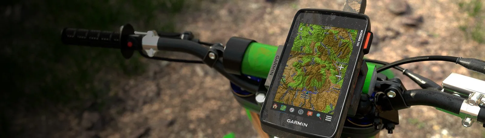
Backroad Mapbooks’ industry-leading, Garmin-licensed Yukon GPS Maps are the most detailed, comprehensive and up-to-date GPS maps available on the market. These are the maps of choice for recreation, industry, and search-and-rescue, with 3D views, shaded relief and countless geographic and activity based points-of-interest. Updated annually, these GPS maps are Garmin licensed for compatibility with Garmin GPS and Garmin Basecamp. Available in Micro SD format, these Yukon GPS Maps are easy to install and use and bring all of the detail of our wildly popular Backroad Mapbook series directly to your GPS device or computer. Keep your adventure rolling with the latest topographic data, routable roads, oil and gas data, Game Management Zones, trails, rec sites, paddling routes, scenic viewpoints and so much more. With the latest edition of our Yukon GPS Maps in hand, your options for adventure are limitless.
Search highly descriptive point of interest and recreation site write ups geo-referenced from our popular Backroad Mapbook guide book series.
Note: Backroad Extras or Points of Interest can be searched by selecting the Where To/Find > Extras and then Go! option, or read what each site offers through the More option.
Unique to the Backroad GPS Maps are our enhanced road classifications that help you distinguish the highways from the logging roads and the main roads from the side roads. This extra level of road classification helps you to know which roads can be driven in a car and which ones should be left to a four-wheel drive vehicle or ATV.
In addition, we offer more recreational points and symbols than any other map source. From RV accessible to backcountry campsites, hiking to snowmobiling trailheads, fishing to paddling access points, we have your adventure covered. Our area classifications include mines and gravel pits, conservation and restricted areas, and a host of other features that help you to see where you can play.
Boasting more roads and trails than any other GPS maps, our road tracking classifications allow you to easily distinguish main industrial or logging roads from rarely travelled unclassified roads. Access over 80,000 km of routable city and rural roads, with 3 levels of industry roads (forest service, resource and recreational) along with over 201,000 km of non-routable roads including unclassified and private roads. Over 9,700 km of multi-use trails are separated for use by hikers, bikers and horseback riders, along with close to 12,000 km of ATV and Snowmobile motorized trails. Trails are updated and expanded with the help of government agencies, off-road clubs and customers who contribute their own data.
Yukon Road and Trail Highlights:
| Marque | |
|---|---|
| Pays | |
| Région |