Blog
Our tickets, articles, and explanatory files on the world of cartography and travel. Written by our employees who are passionate about geography and special collaborators. Follow us on social media to stay updated on new publications.
Categories1
-
Leeward Islands – NV Charts Paper and Digital Nautical Atlas
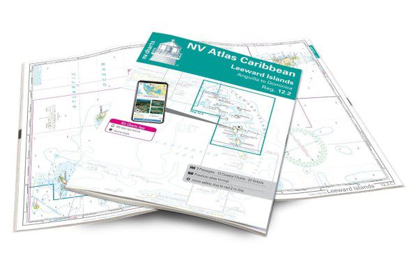 With the NV Charts Caribbean 12.2 Atlas, you have the ideal companion for the Leeward Islands from Anguilla to Dominica at your side.
 -
Bermuda – NV Charts nautical paper & digital atlas
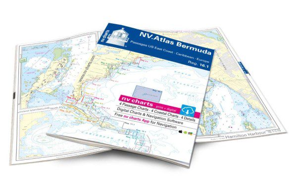 Thanks to its clear layout, you'll quickly find access points, ports, and anchorages, and you'll be informed of important navigational details that also appear in the NV Charts app.
 -
Windward Islands – Nautical Chart The Cruising Guides
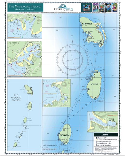 Printed on both sides, this new folded chart includes the Windward Islands: Martinique, Saint Lucia, Saint Vincent and the Grenadines, and Grenada.
 -
Virgin Islands – The Cruising Guide Nautical Chart
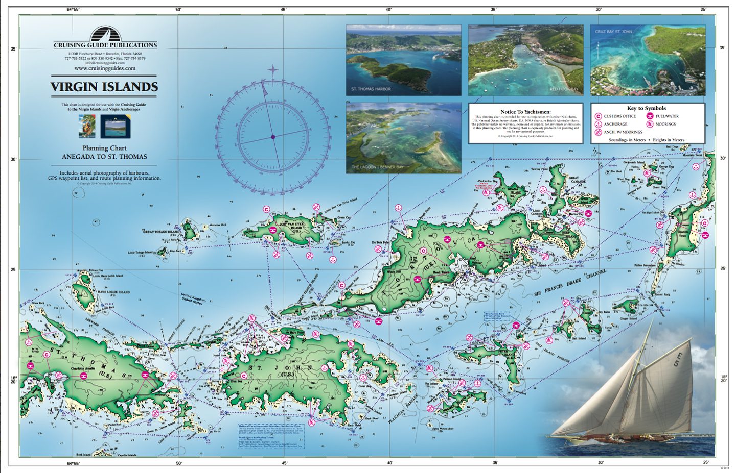 Printed on both sides, this new chart covers the United States and the British Virgin Islands, from St. Thomas to Anegada, with anchorage and mooring locations.
 -
Waterproof Planning Chart of the Leeward Islands – The Cruising Guide
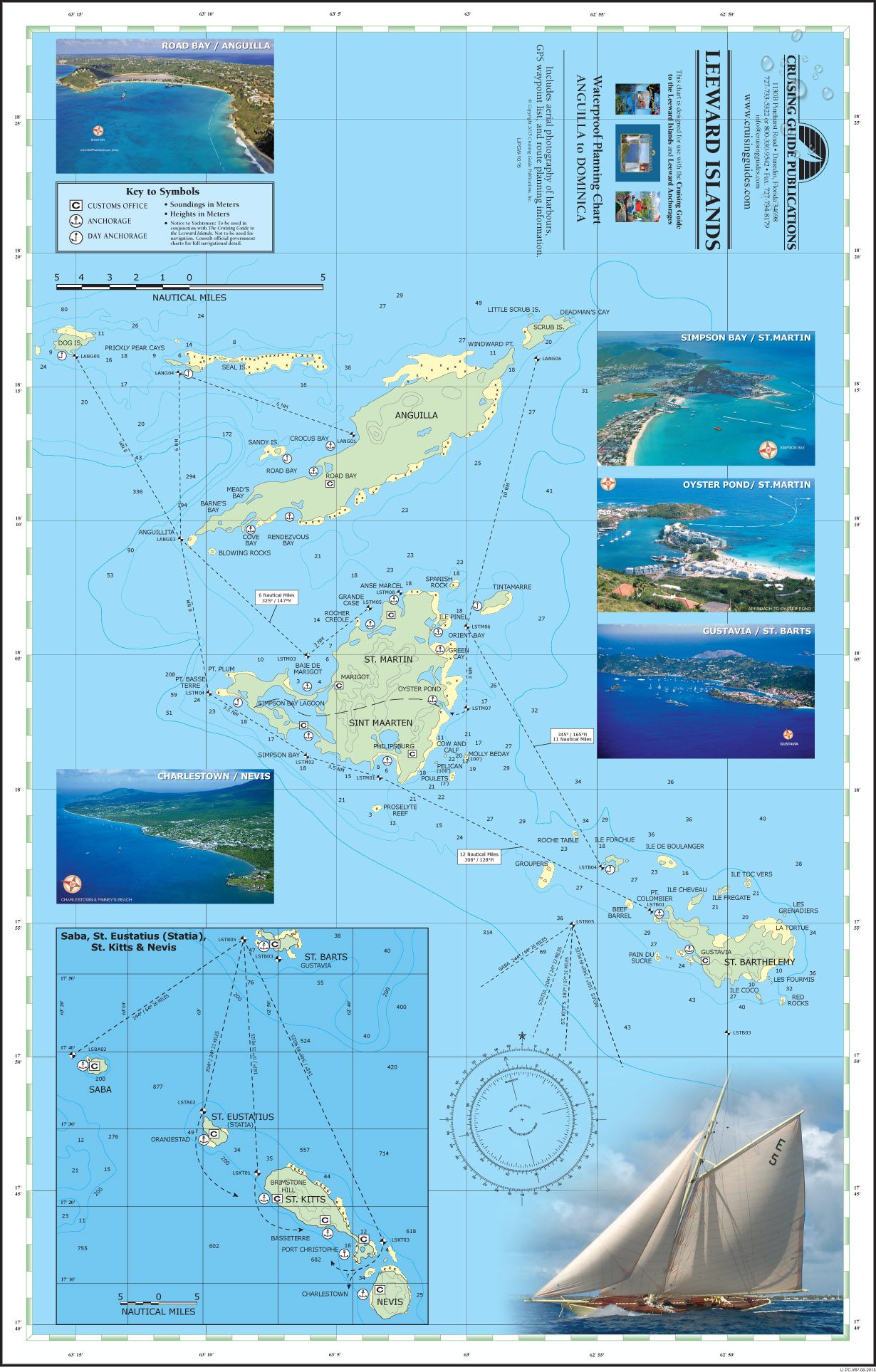 The chart includes anchorage and mooring locations as well as GPS coordinates, sailing routes and distances between waypoints.
 -
US east coast – NV Pilot 6 marine chart
 The Pilot 6 is a planning map for the East Coast of the USA. This map also includes the Antilles, Cuba, and the Caribbean Sea.
 -
Baltic sea – NV Pilot 1 nautical chart
 The Pilot 1 from NV Charts is an indispensable planning chart if you want to prepare for a Baltic Sea cruise. This chart for this popular sailing area extends eastwards to the coasts of Poland, Lithuania, Latvia and Estonia.
 -
North Atlantic ocean – NV Pilot 5 nautical chart
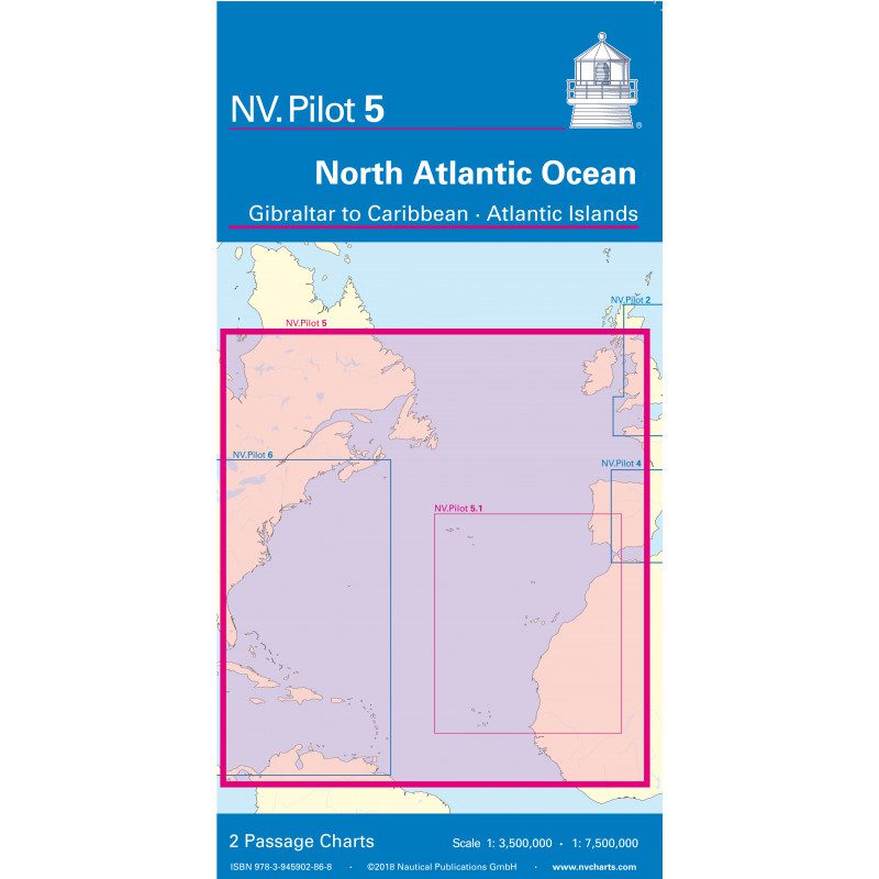 The NV Charts Pilot 5 is a folding chart that you absolutely need for planning a transatlantic passage. It covers the west coast of Spain, Portugal, Morocco, and the Canary Islands. On the other side, you'll find the east coast of Canada and the United States, as well as Cuba and the Caribbean.
 -
Mediterranean West nautical chart – NV. Pilot 4
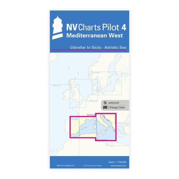 Both charts contain the relevant lights and route including distances to enable proper passage planning.
 -
Virgin Islands – NV Nautical Atlas 12.1
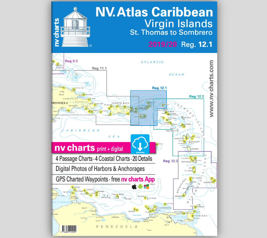 Virgin Islands Nautical Atlas. Detailed paper and digital bathymetric charts. Everything you need for safe navigation.
 -
NV Atlas Atlantic ATL 3 – Atlantic Islands / Madeira – Canary Islands – Azores – Cape Verde
 Perfect for sailors preparing to cross the Atlantic. Covers the Atlantic island groups in detail: Azores, Madeira, Canary Islands, and Cape Verde. 2024
 -
Mediterranean Sea (OMEGA) – Carte NGA 310
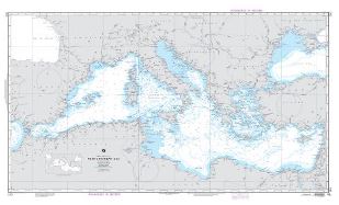 Mediterranean Sea (OMEGA) – Carte NGA 310 Description: Mediterranean Sea (OMEGA) – Carte NGA 310. Printed on waterproof and tear-proof paper. Perfect for boating and fishing. Includes: Bathymetry Navigation aids Navigation hazards Printed on waterproof and tear-proof paper Sources: Canadian Hydrographic Service Quebec Ministry of Energy and Natural Resources National Oceanic and Atmospheric Administration Natural...Read more