Additional information
| Country | |
|---|---|
| Region | |
| Brand |


20.95$
89027 – GR20 CROSSING CORSICA – IGN (Corse)
A 1:50,000 scale map (1 cm = 500 m) essential for hiking the legendary GR 20® through the Corsican mountains.
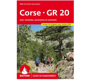
The GR 20® is as much a dream as it is a challenge. It is the jewel of the Corsican mountains. Often considered the most difficult long-distance hiking trail in France, or even Europe, the GR 20® has a distinctly alpine character. From Calenzana to Conca, hikers often climb to 2,000 meters in altitude, experience elevation gains of over 600 meters per stage, and traverse challenging sections.
In addition to the highly accurate route map, this map is also an invaluable aid for planning your stages thanks to its tourist information and links (where to eat, where to stay, what to visit, etc.).
Double-sided laminated map.
Details:
Scale: 1:50,000
Material: Durable, laminated paper
Publication date: March 2, 2020
ISBN: 9782758550792
Click here for the Cicerone guide book!