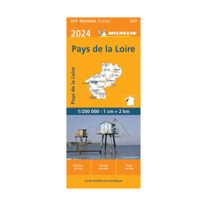
Additional information
| Map Type | Road |
|---|---|
| Plastification | Paper |
| Brand |
18.95$
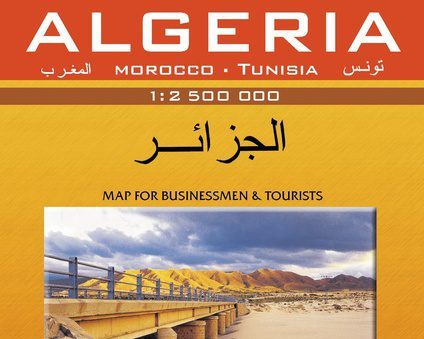
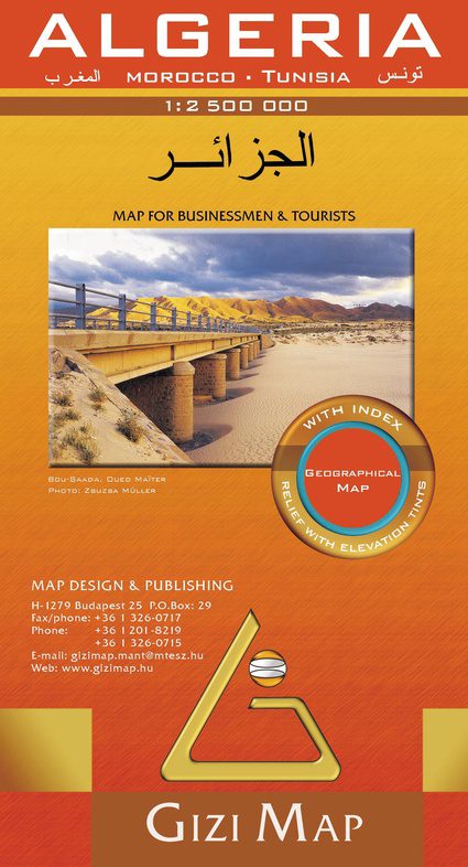
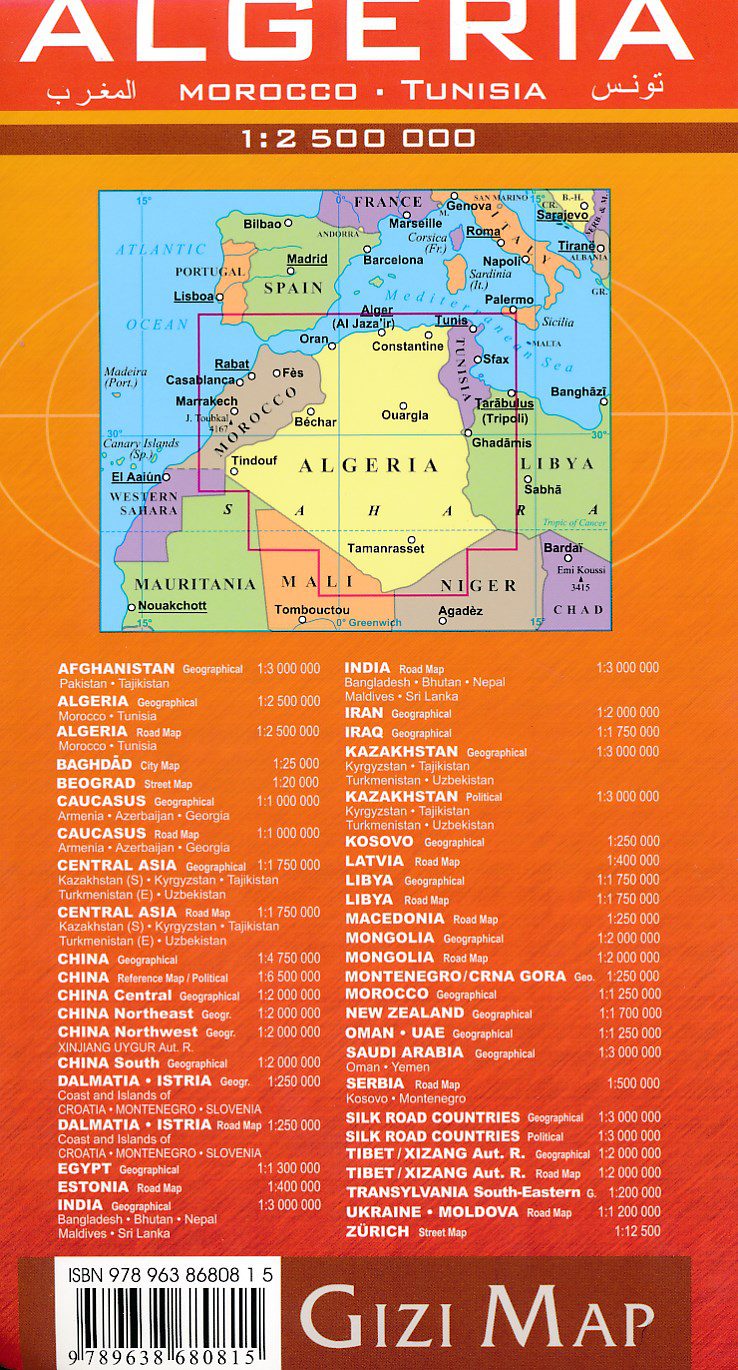
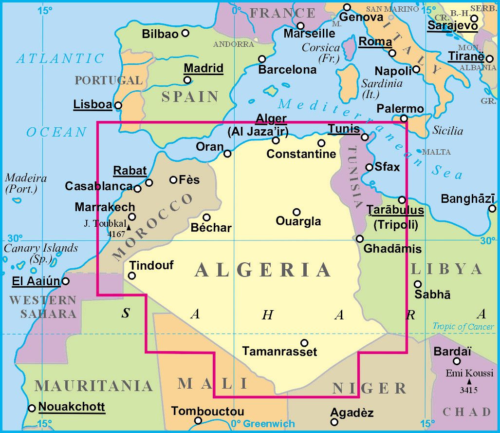
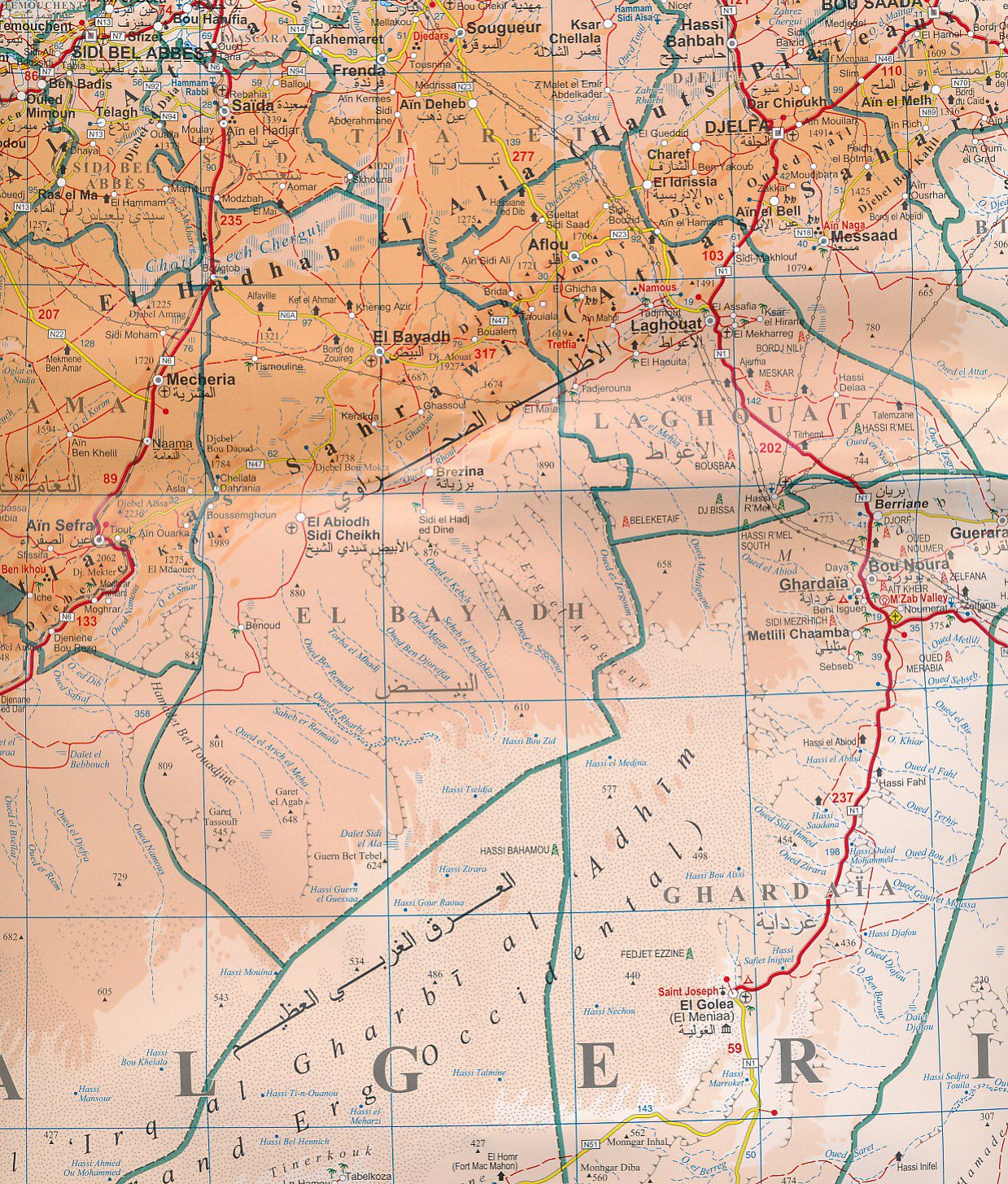
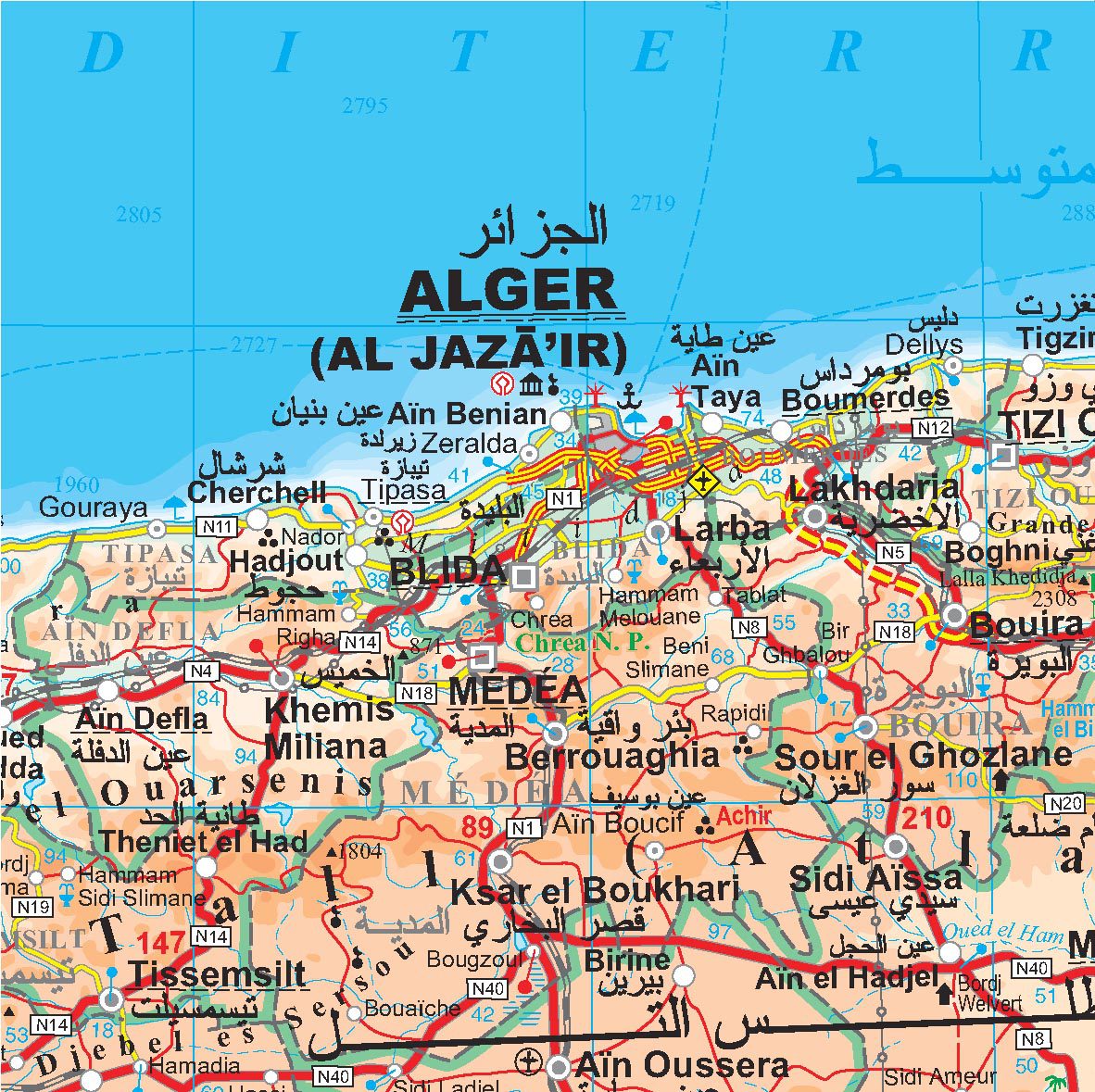
Algeria, Morocco & Tunisia – Gizi Map Road Map
A detailed overview map with relief shown by bright elevation tints. The map is indexed and selected place names are written in Arabic as well as standard Roman text. Coverage includes neighboring Tunisia and most of Morocco. Terrain features such as sand deserts, stony deserts, salt flats, waterholes and swamps are distinguished, and the heights of selected peaks are indicated. Bathymetric tint is also applied.
Several categories of roads are distinguished, including selected tracks, with intermediate driving distances indicated on many routes. Railways, oil and gas pipelines and administrative boundaries are drawn and symbols indicate oil and gas production sites, airports, ports, places of worship, campsites, inns, resorts, oases, lighthouses, forts, museums, UNESCO sites and other antiquities and places of interest. Latitude and longitude lines are drawn at 1° intervals.
The multilingual legend includes English and Arabic.
Scale: 1:2500000
Published: 2010
Multilingual, including english
Available on backorder
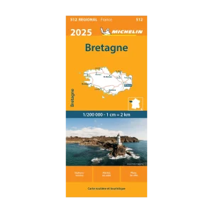
| Map Type | Road |
|---|---|
| Plastification | Paper |
| Brand |