Additional information
| Region |
|---|


19.95$
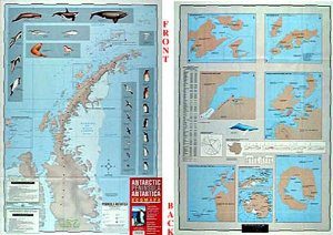
Antarctic Peninsula – Zagier & Urruty Map
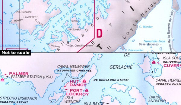
Map of the Antarctic Peninsula with drawings of the fauna present. This is the part of Antarctica where almost all tourists sail by cruise ship or sailboat.
The north of the peninsula is the most visited part of Antarctica each summer. Glaciers, coves and marinas, scientific stations, etc. On the back, large maps of the main islands and ports visited. Artistic drawings of birds and mammals.
In English and Spanish only.
Publication date: 2023
Scale: 1,500,000
| Region |
|---|