Additional information
| Region | |
|---|---|
| Map Type | Road |
| Plastification | Paper |
19.95$
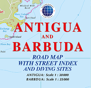
Road Map with Street Index and Diving Sites
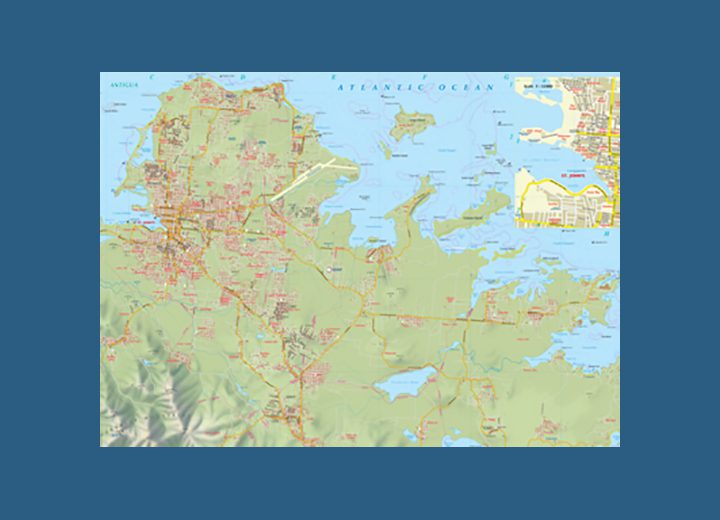
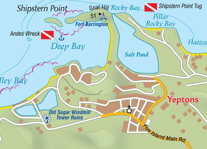
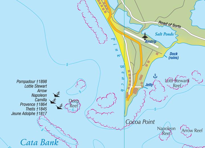
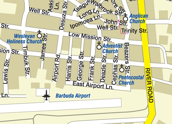
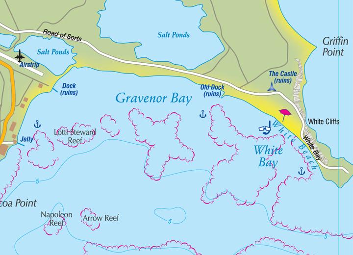
This first and only complete road and street map with a street index of the twin-island nation of Antigua, 1 : 30 000 scale, and Barbuda, 1 : 35 000 scale, renders roads and streets with their names and locates hiking trails, diving sites, parish boundaries, insets of the islands’ respective capitals St. John’s and Codrington, and several shipwrecks off Barbuda.
The double-sided map, with one island on each side, is sold folded measuring 4 7/8″ x 8 7/8″ (12.5 cm x 22.5 cm) and is designed for easy opening and refolding. Its full unfolded format is 26 3/8″ x 38 1/2″ (67 cm x 98 cm).
Each island is depicted with the following features:
Attractive full color layout;
Rich topographic detail;
Symbol key and scale;
Airports (national and international), beaches, beacons, caves, cemeteries, churches, diving sites, gas stations, geological formations, hiking trails, hill shading, hospitals, a lighthouse, marinas, moorings, parish boundaries, parking areas, police stations, ports, post offices, reefs, shipwrecks, old sugar windmills, and other points of interest;
Depth curves, soundings in meters, longitude and latitude lines and other identifiers.
Scales: 1:35 000 & 1:30 000
| Region | |
|---|---|
| Map Type | Road |
| Plastification | Paper |