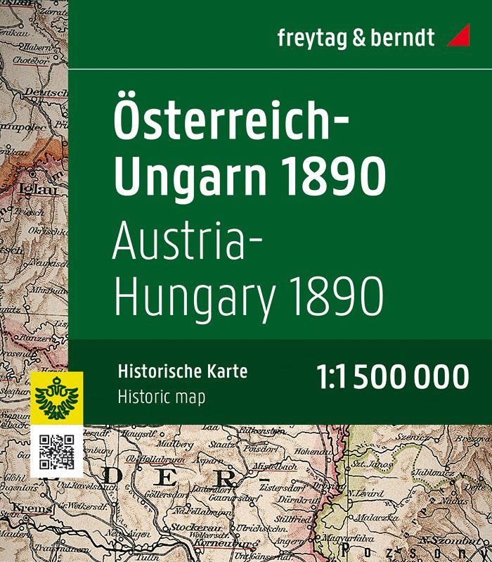
Austria-Hungary historical 1890 map – Freytag & Berndt
16.95$
Title: “Österreich Ungarn 1890” Map
Publisher: Freytag & Berndt
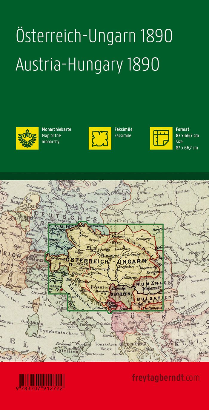
Dimensions: 87 x 67 cm
Scale: 1:1,500,000
ISBN: 9783707912722
Publication Year: 2020
Description:
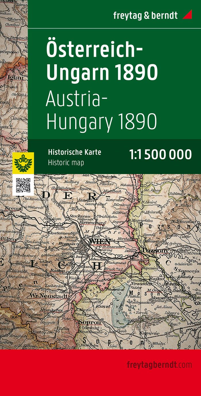
This detailed map covers the Austro-Hungarian Empire as it was in 1890, with a scale of 1:1,500,000, offering a clear view of the historical borders and geographic features of the time. Published by Freytag & Berndt, this map is a valuable resource for history enthusiasts, researchers, and collectors alike.
Key Features:
- Reproduction of a Historical Map: This map is a faithful reprint of the 1890 Austro-Hungarian map, providing a unique insight into the borders and geography of the Empire in the late 19th century.
- High-Quality Printing: Printed on high-quality paper to ensure durability and clarity of details.
- Geographic Accuracy: The 1:1,500,000 scale offers a broad overview while maintaining enough detail for an in-depth historical analysis.
- Use Case: Ideal for history buffs, researchers, educators, students, and anyone interested in historical cartography.
Applications:
- Historical research on the Austro-Hungarian Empire.
- Decorative piece for history enthusiasts.
- Educational tool for history or geography lessons.
Format:
- Size: 87 cm x 67 cm
- Full-color map with details on the territorial divisions of the era.