Additional information
| Map Type | Waterproof |
|---|---|
| Region | |
| Brand |


35.00$
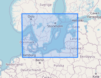
Baltic sea – NV Pilot 1 nautical chart
The Pilot 1 from NV Charts is an indispensable planning chart if you want to prepare for a Baltic Sea cruise. This chart for this popular sailing area extends eastwards to the coasts of Poland, Lithuania, Latvia and Estonia. The east coast of Denmark and the south coast of Sweden are also covered.
This folding chart consists of two overview charts:
Map 1, scale 1:1.4 million > Skagerak (Flekkefjord) to Helsinki
Map 2, scale 1:750,000 > Kiel to Oslo
Both charts show the important beacons and routes with distances required for passage planning. Wind stars for representative months and the main currents in the Kattegat and Skagerak are also shown. Explanations of the symbols, information on local coastal currents and climate data are provided in English and German. The map is in A1 format, folded approx. 15 x 30 cm.
| Map Type | Waterproof |
|---|---|
| Region | |
| Brand |