Additional information
| Map Type | Digital, Marine, Waterproof |
|---|---|
| Region | |
| Brand |

109.95$
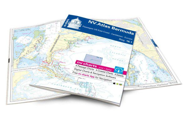
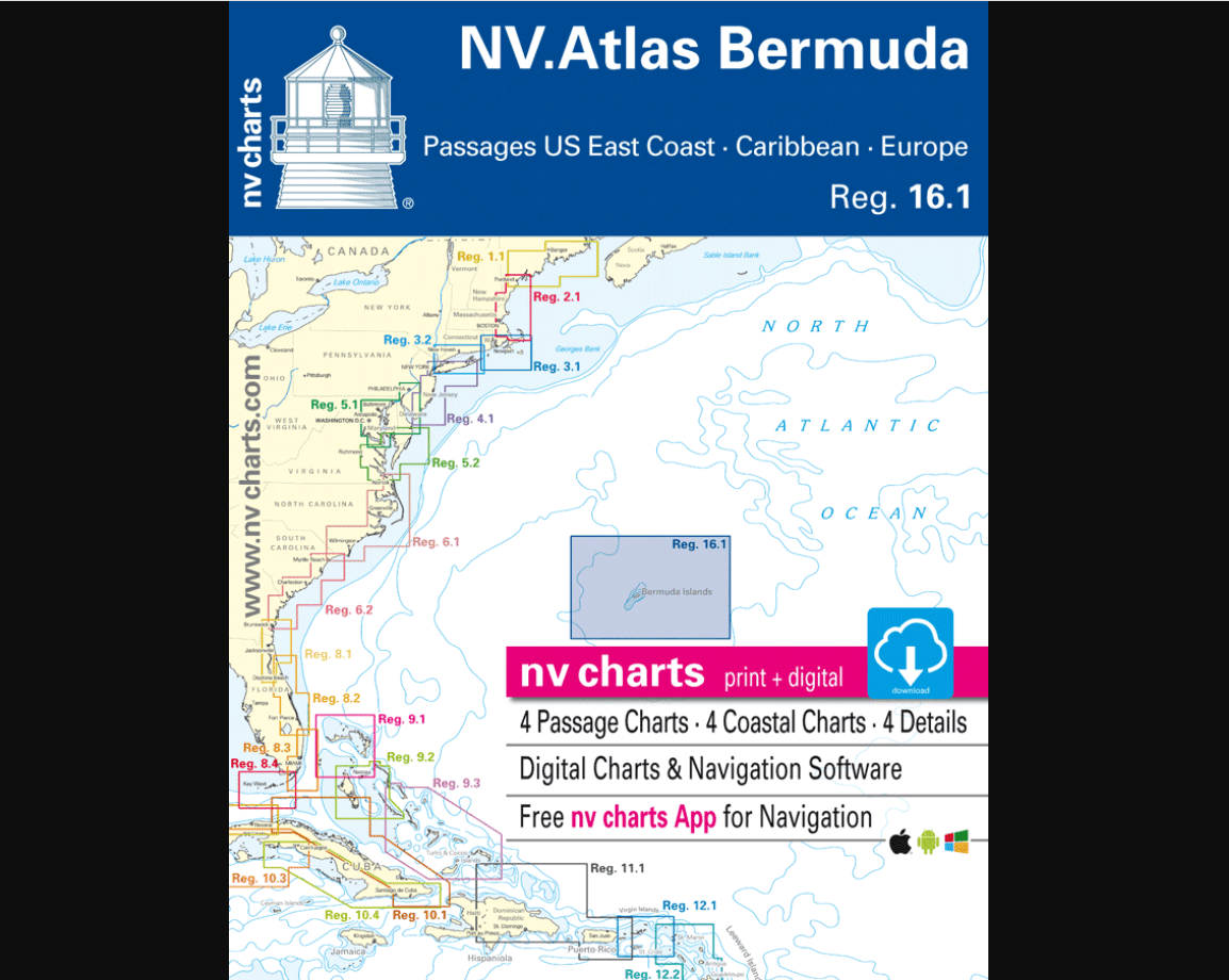
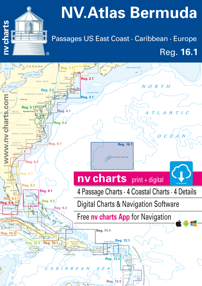
With the NV Charts Bermuda 16.1 Atlas, you have the ideal companion for passages between the US East Coast, the Caribbean, and Europe. Thanks to its clear layout, you’ll quickly find access points, ports, and anchorages, and you’ll be informed of important navigational details that also appear in the NV Charts app. The map impresses with its optimal dimensions and balanced cross-sections.
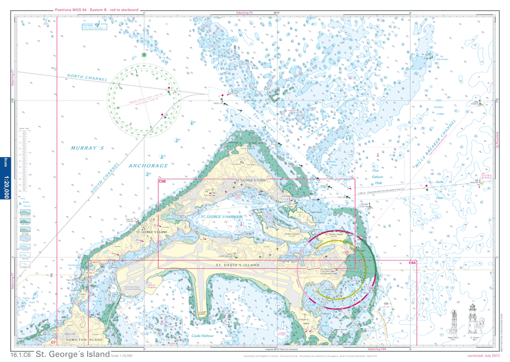
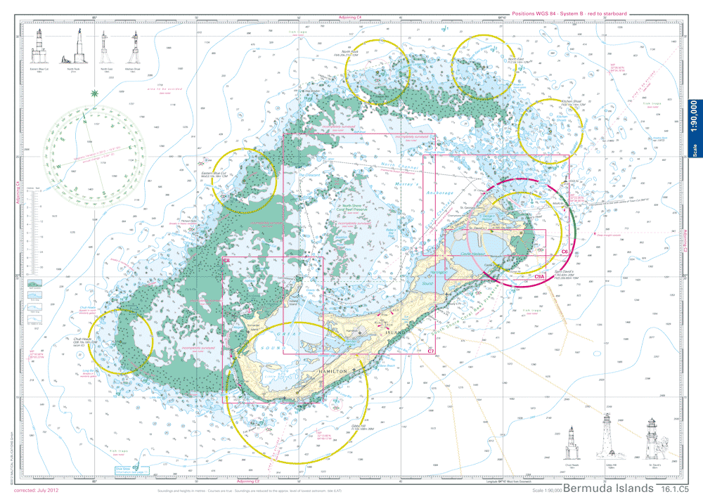
Bermuda, an archipelago of 138 islands in the Atlantic Ocean, is a true sailor’s dream. Its pink sand beaches, brilliant blue hulls, and rich maritime heritage make it an unforgettable destination. Bermuda is surrounded by a maze of reefs, so it’s important to use up-to-date nautical charts and exercise caution when approaching the islands or sailing near the coast. Bermuda offers a fascinating blend of British colonial heritage and Caribbean culture, reflected in its architecture, cuisine, and music. In addition to sailing, Bermuda offers premier opportunities for diving, snorkeling, fishing, and other water sports. Bermuda has a deep maritime tradition and often hosts or is the starting point for international sailing competitions, such as the America’s Cup. This chart set includes:
Practical and handy atlas format, opened in A2, closed in A3, flat stapling in the center – allows for easy working with the course triangle
9783932414756
ENGLISH ONLY.
Out of stock