Bratislava – Fretytag & Berndt road map

16.95$

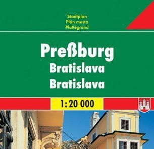
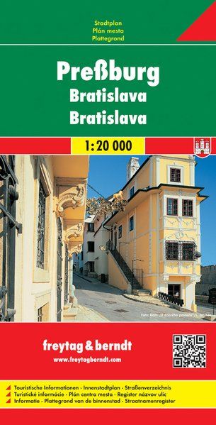
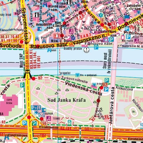
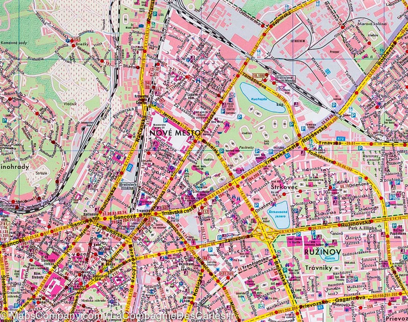
The Bratislava map by Freytag & Berndt (published in 2012) is a detailed map of the Slovak capital, designed for travelers and locals. At a scale of 1:20,000 (1 cm = 200 m), it allows precise navigation within the city center and its surroundings.

Key Features:
  • Scale: 1:20,000, providing a high level of detail for easy navigation through Bratislava’s streets.
  • Dimensions:
    • Folded: 25.6 x 13 x 1 cm, compact size, ideal for portability.
    • Unfolded: 110 x 77 cm, offering a comprehensive view of the city and its neighborhoods.
Content:
  • Detailed city center and surrounding areas: Major streets, squares, and tourist zones are clearly marked.
  • Key points of interest: Includes landmarks such as the Bratislava Castle, Old Town, St. Martin’s Cathedral, the Danube River banks, and numerous museums and galleries.
  • Street index: Included for quick and efficient navigation.
  • Public transportation: The map also highlights tram and bus stops, along with main public transport routes.
  • Multilingual legend: The map features a legend in multiple languages, including French, for ease of use.
Additional Information:
  • Weight: 110 g, making it lightweight and easy to carry.
  • Print quality: With clear and detailed printing, it’s perfect for tourists, explorers, and residents of the city who need a reliable map.

This map is ideal for a detailed exploration of Bratislava, providing both practical information and points of interest for a comprehensive city visit.

9783850841139

Additional information

Country

Brand

Map Type

Paper, Road