Additional information
| Map Type | Laminated, Road |
|---|---|
| Language | English |
| Region |
9.95$
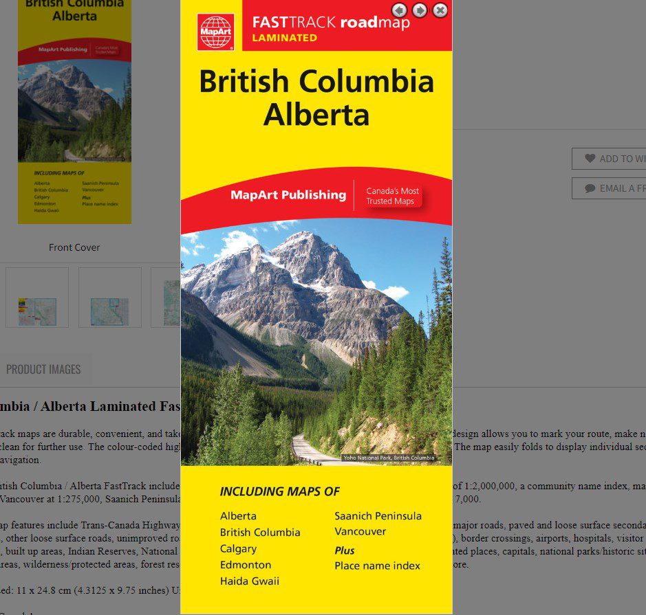
British Columbia / Alberta Laminated FastTrack
Laminated FastTrack maps are durable, convenient, and take all the wear and tear your journey can dish out. The laminated design allows you to mark your route, make notes, then wipe the surface clean for further use. The colour-coded highways and clear exit names make for quick and easy navigation. The map easily folds to display individual sections. This is a must-have for navigation.
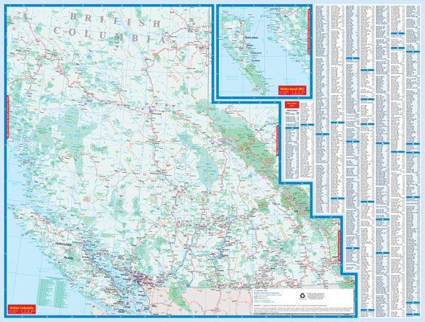
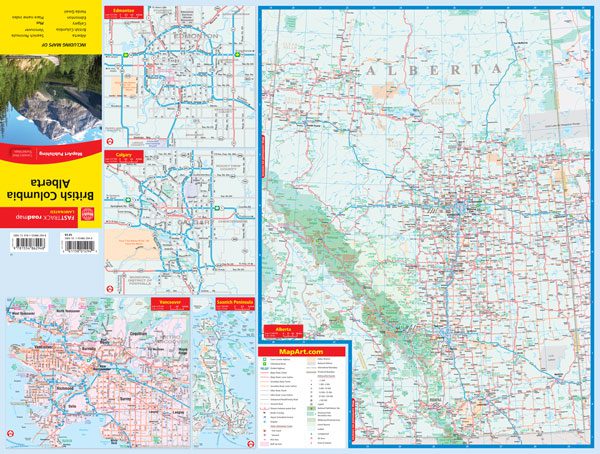
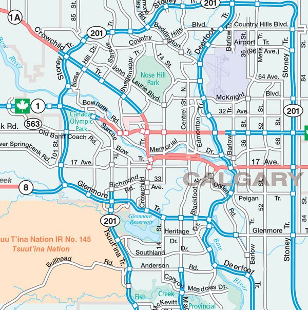
The laminated British Columbia / Alberta FastTrack includes provincial mapping of British Columbia and Alberta at a scale of 1:2,000,000, a community name index, map legend, and regional maps of Vancouver at 1:275,000, Saanich Peninsula at 1:250,000, municipal maps of Edmonton and Calgary at 1:317,000.
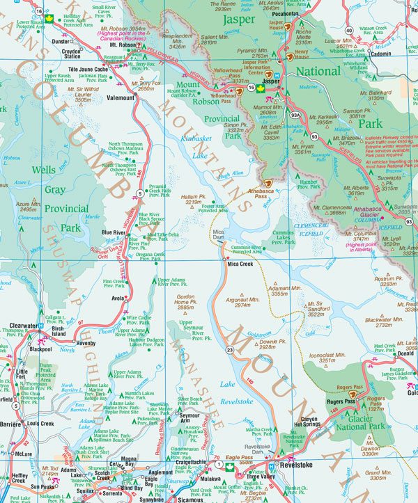
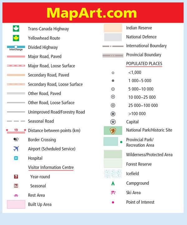
The provincial map features include Trans-Canada Highway, Yellowhead Route, divided highways, paved and loose surface major roads, paved and loose surface secondary roads, other paved roads, other loose surface roads, unimproved roads/forestry roads, seasonal roads, distances between points (km), border crossings, airports, hospitals, visitor information centres, rest areas, built up areas, Indian Reserves, National Defence, international boundaries, provincial boundaries, populated places, capitals, national parks/historic sites, provincial parks/recreation areas, wilderness/protected areas, forest reserves, icefields, campgrounds, ski areas, points of interest and more.
Edition: 2024
Proudly made in Canada!
061158012949
9781554862948
| Map Type | Laminated, Road |
|---|---|
| Language | English |
| Region |