Additional information
| Brand | |
|---|---|
| Country | |
| Region |

13.95$
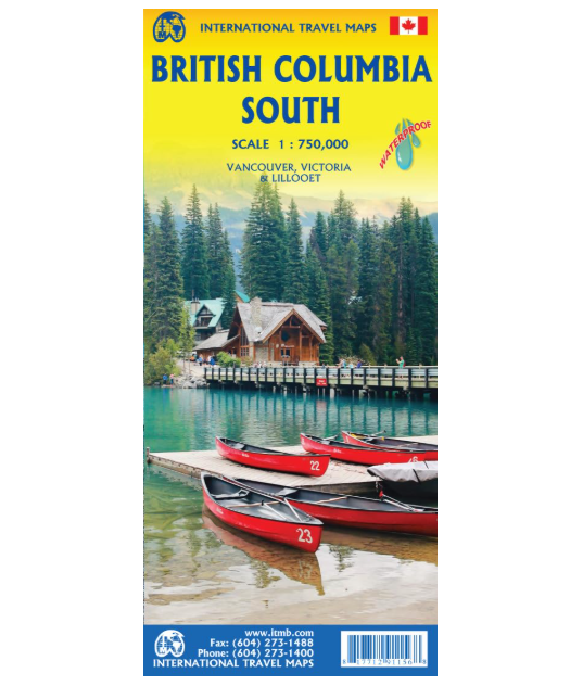
British Columbia South – International Travel Maps ISBN 9781771291156
BC is a huge geographic area, so large that it needs to be mapped in segments as well as being an entire entity. This map covers the south half of the province at an enhanced scale (there is a separate map doing the same for the northern half of the province). This scale allows ample room to portray Vancouver Island, the Lower Mainland region, and all three routes through the Rocky Mountains to eastern Canada, The area of coverage is from the American border north to the top end of Jasper National Park, and from the Pacific Ocean east to Calgary, in Alberta. The map is particularly noteworthy for its portrayal of parks, campgrounds, and roads joining together the many towns of the interior. It is particularly recommended for those in Europe intending to fly into either Vancouver or Calgary and rent a mobile home (known over here as a recreational vehicle) to explore the region before dropping off the vehicle and flying home. Good insets of central Vancouver and Victoria are included.
Scale: 1: 750,000
Published: 11/2025
| Brand | |
|---|---|
| Country | |
| Region |