Additional information
| Brand | |
|---|---|
| Country | |
| Region |
19.95$
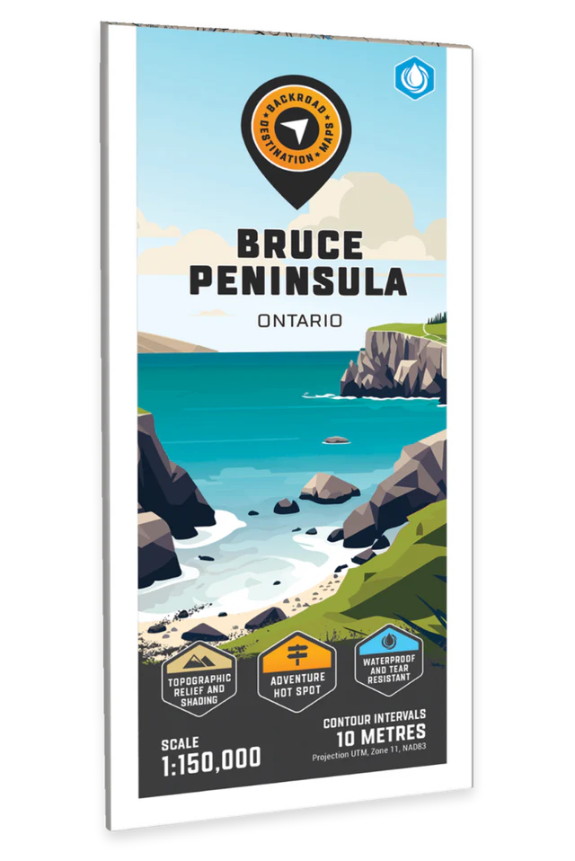
Bruce Peninsula – Destination Map – BRMB Code: 622098110722
Covering the Bruce Peninsula from Owen Sound north to Tobermory in Southwestern Ontario, this recreation map features the campsites, fishing lakes and streams, hiking trails, ATV and snowmobile trails, paddling routes, access points and boat launches and countless other visitor facilities. Use for hiking, canoeing, camping, exploring, fishing, kayaking, ATVing, snowmobiling, skiing, wildlife viewing and more. With 1:10,000 water and trail data, no other map for the area provides you with this level of recreational or topographic detail. This map includes Bruce Peninsula, Owen Sound, Sauble Beach, Southampton, Tobermory, Wiarton, Bruce Peninsula National Park, Colpey’s Bay, Fatom Five National Park, Georgian Bay, Lake Huron, Lion’s Head, MacGregor Point Park and more!
The printed version of the map is displayed at 1:150,000 scale on 61 x 94 cm (24 x 37 in) paper on a durable waterproof synthetic material. The Wall Maps have been customized to display nicely and fit into common picture frame sizes so you can hang on the cabin, home or workshop wall. They are available in three different sizes and come printed on the waterproof synthetic material.
Map Scale: 1:150,000
Release: 2022
Dimensions: 61 x 94 cm (24 x 37 inches)
| Brand | |
|---|---|
| Country | |
| Region |