Additional information
| Region | |
|---|---|
| Map Type | Road atlas |
| Brand |
9.95$
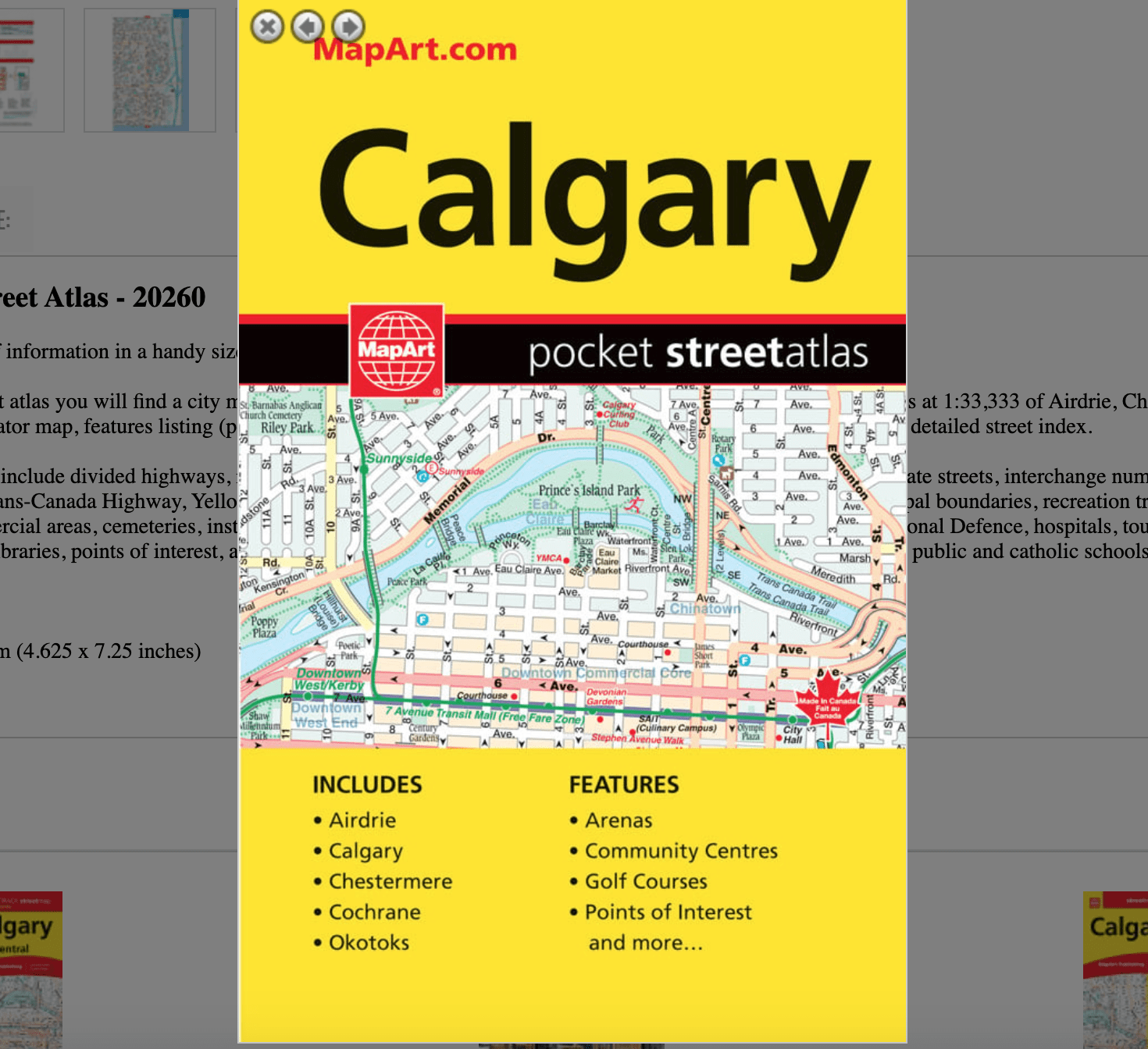
Calgary Pocket Street Atlas
Pocket Atlases pack lots of information in a handy size that easily fits into a purse or pocket.
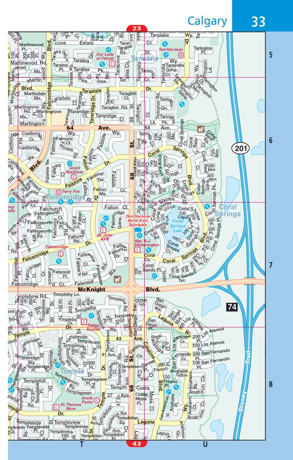
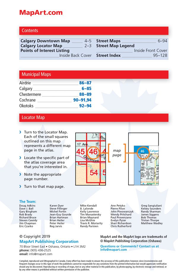
Inside this 128 page pocket atlas you will find a city map of Calgary at 1:25,000, a Calgary downtown map at 1:10,000, a city maps at 1:33,333 of Airdrie, Chestermere, Cochrane, and Okotoks at 1:27,777, a locator map, features listing (points of interest, hospitals, golf courses, colleges/universities, airports) and a detailed street index.
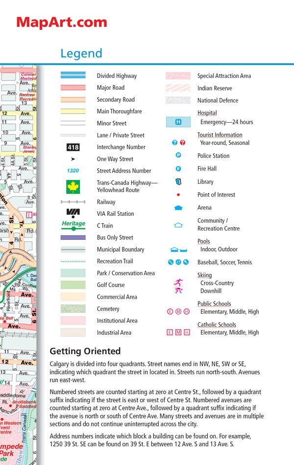
Detailed city map features include divided highways, major roads, secondary roads, main thoroughfares, minor streets, lanes / private streets, interchange numbers, one way streets, street address numbers, Trans-Canada Highway, Yellowhead Route, railways, VIA Rail stations, C Train, Bus Only streets, municipal boundaries, recreation trails, parks / conservation areas, golf courses, commercial areas, cemeteries, institutional areas, industrial areas, special attraction areas, Indian Reserve, National Defence, hospitals, tourist information centres, police stations, fire halls, libraries, points of interest, arenas, community / recreation centres, pools, baseball, soccer, tennis, skiing, public and catholic schools.
Saddlestitch bound
Dimensions: 11.7 x 18.4 cm (4.625 x 7.25 inches)
Proudly made in Canada!
Out of stock