Additional information
| Brand | |
|---|---|
| Map Type | Paper, Road |
| Language | French |
| Region |
5.99$
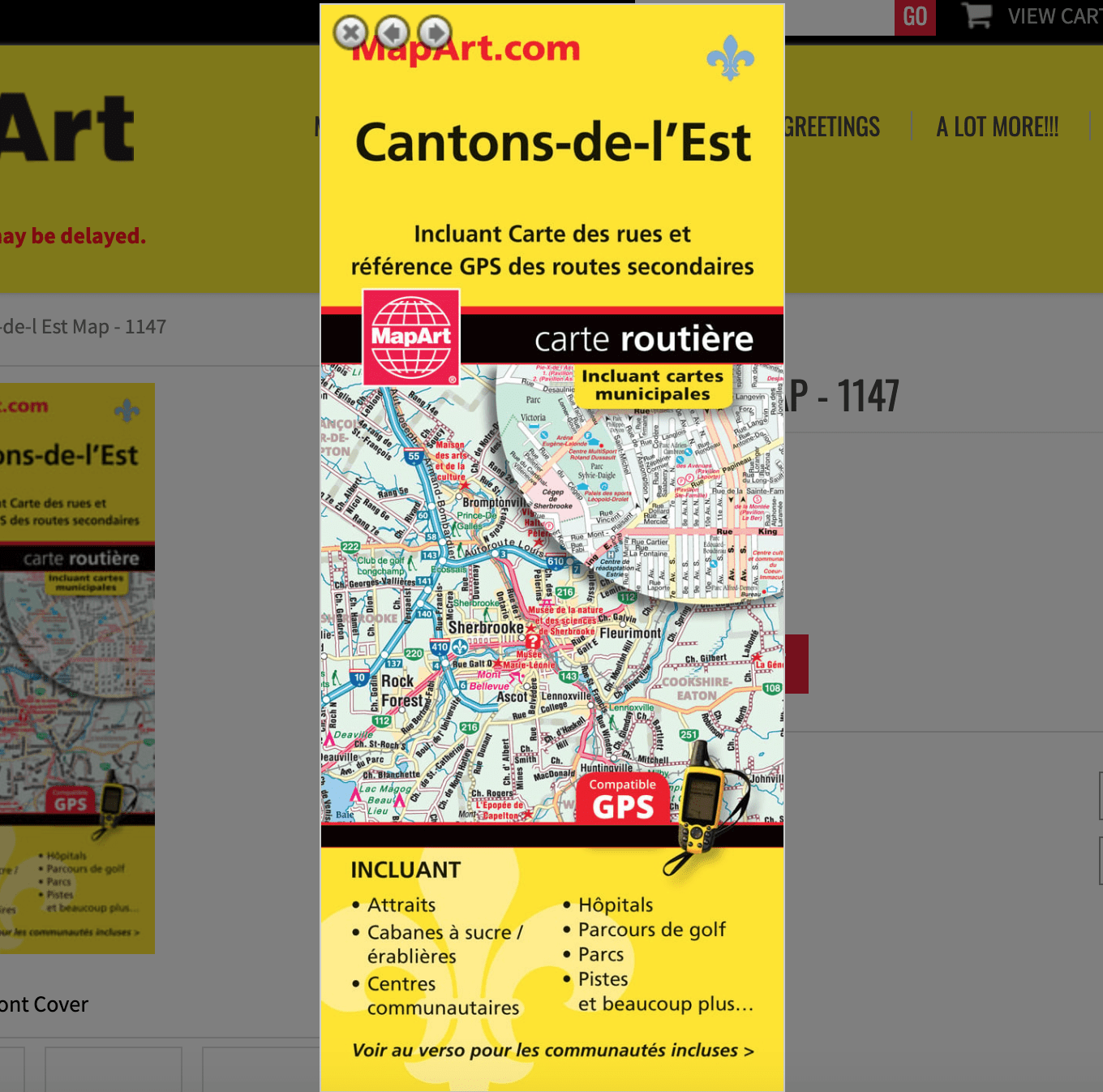
Cantons-de-l’Est Folded Map
061158011478
Folded maps have been the trusted standard for years, offering unbeatable accuracy and reliability at a great price. Detailed indices make for quick and easy location of destinations. It’s a must-have for anyone travelling, working and living in this area of Québec province.
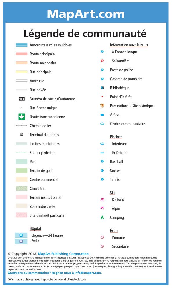
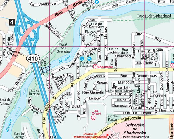
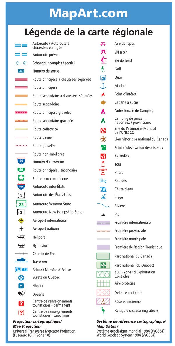
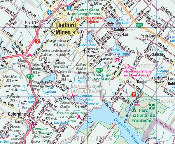
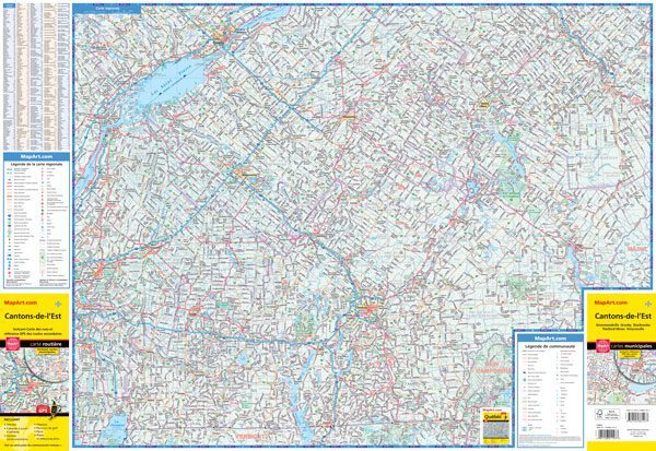
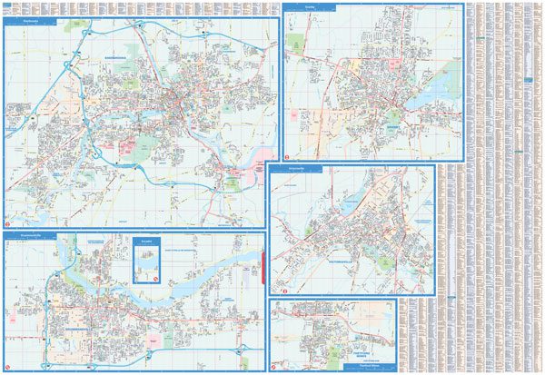
The folded map of Cantons-de-l’Est includes detailed city maps at 1:32,000 of Drummondville, Granby, Sherbrooke, Thetford Mines, Victoriaville, street indexes of each community, city map legend, a regional map at 1:230,000, community index and regional map legend.
Edition: 2024
In french only.
Proudly made in Canada!