Additional information
| Region | |
|---|---|
| Map Type | Paper, Road |
| Language | French |
| Brand |
4.95$
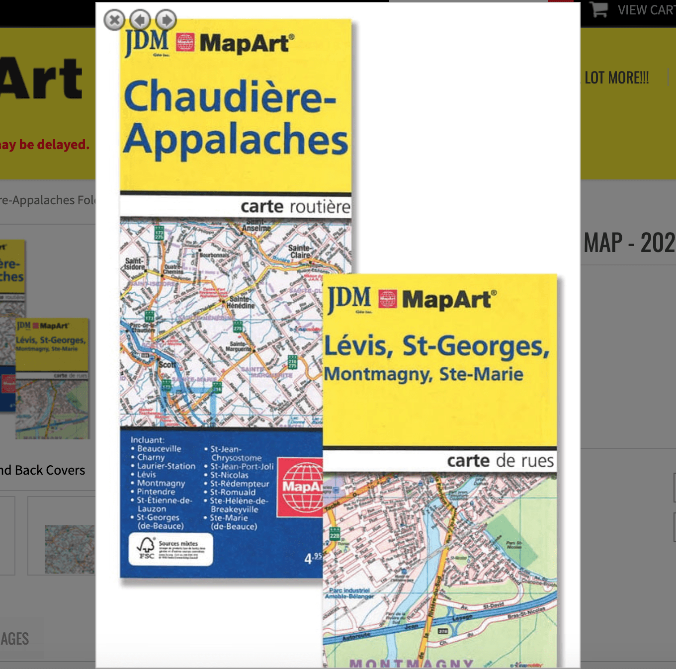
Chaudière-Appalaches Folded Map
066770202068
Folded maps have been the trusted standard for years, offering unbeatable accuracy and reliability at a great price. Detailed indices make for quick and easy location of destinations.
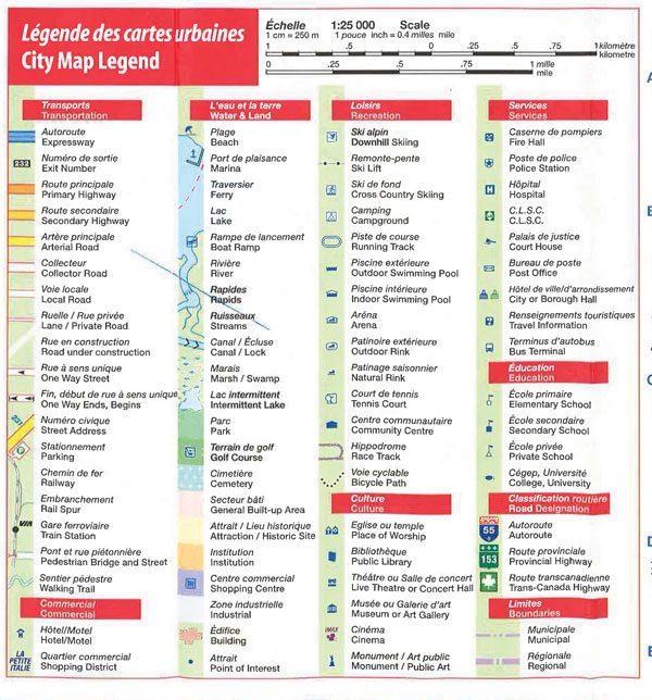
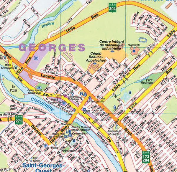
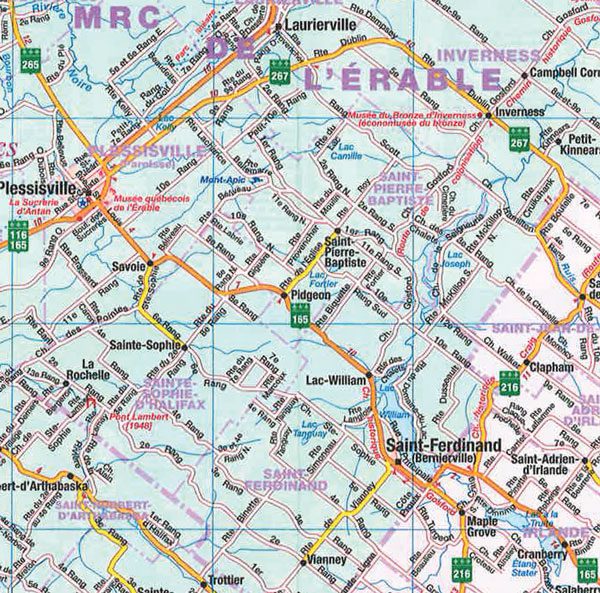
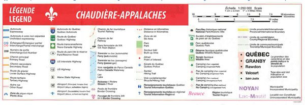
The folded map of Joliette Rawdon includes detailed city mapping at 1:25,000 of Chaudière-Appalaches including Beauceville, Charny, Laurier-Station, Lévis, Montmagny, Pintendre, St-Étienne-de-Lauzon, St-Georges (de-Beauce), St-Jean-Chrysostome, St-Jean-Port-Joli, St-Nicolas, St-Rédempteur, St-Romuald, Ste-Hélène-de-Breakeyville, Ste-Marie (de-Beauce), a regional map at 1:250,000, a place name index, street indexes, city map legend and a regional map legend.
Edition: 2012
Proudly made in Canada!
| Region | |
|---|---|
| Map Type | Paper, Road |
| Language | French |
| Brand |