Additional information
| Region | |
|---|---|
| Map Type | Paper, Road |
| Brand |
5.99$
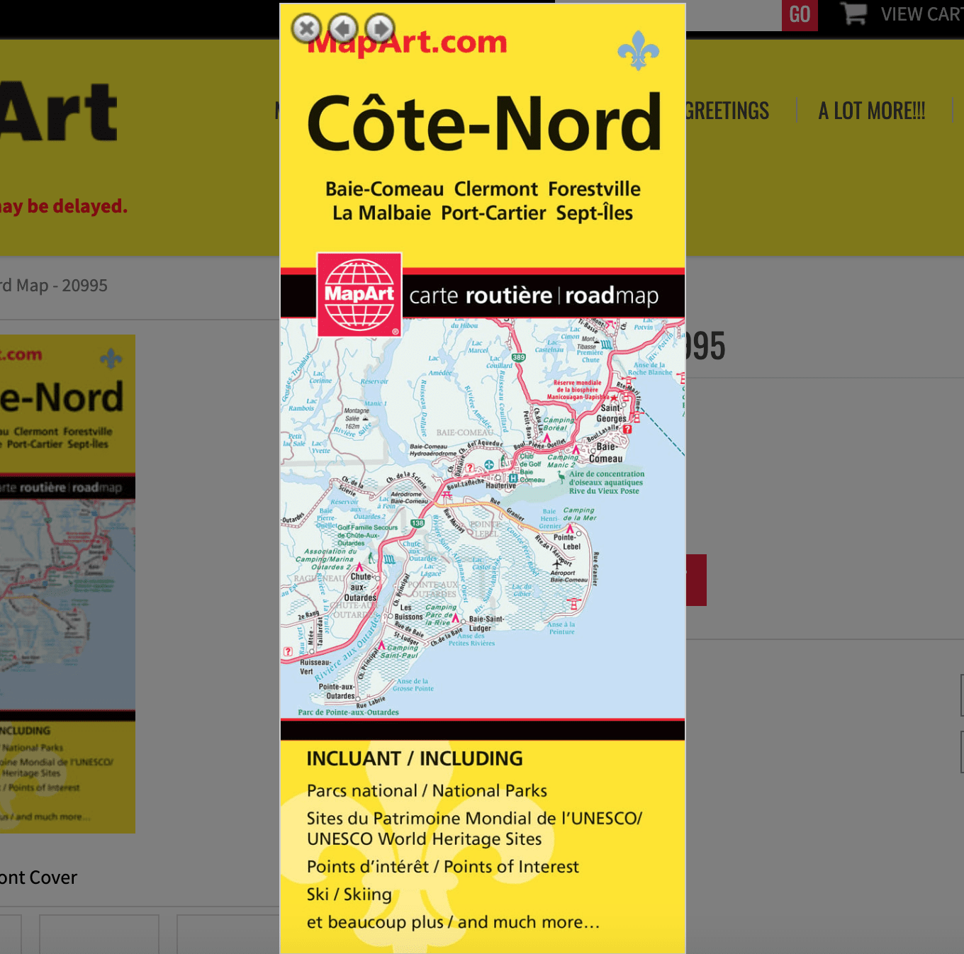
Côte-Nord papier folded Map
066770209951
MapArt folded maps have been the trusted standard for years, offering unbeatable accuracy and reliability at a great price. Detailed indices make for quick and easy location of destinations. It’s a must-have for anyone travelling, working or living in the north coast region of Québec province.
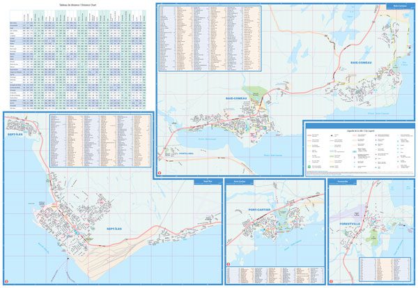
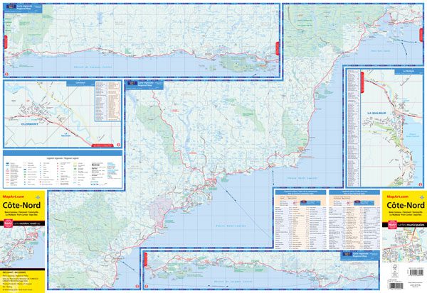
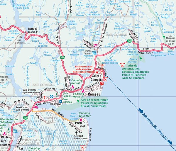
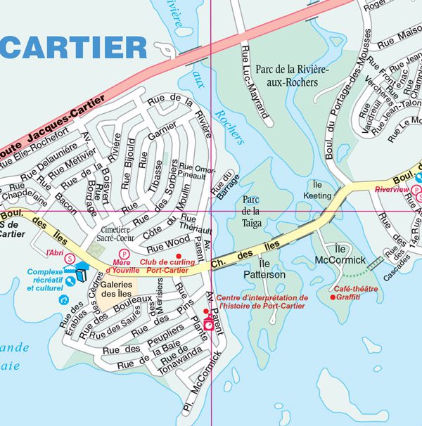
The Côte-Nord folded map includes city maps at 1:25,000 of Baie-Comeau, Clermont, Forestville, La Malbaie, Port-Cartier, Sept-Îles, street indexes and legend, distance chart, regional maps at 1:300,000 along with a community and road index.
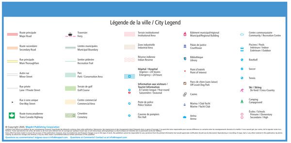
The detailed city mapping has many features including major roads, secondary roads, main thoroughfares, minor streets, lanes / private streets, one way streets, Trans-Canada highway, ferries, municipal boundaries, recreation trails, parks / conservation areas, golf courses, commercial areas, cemeteries, institutional areas, industrial areas, Indian reserves, hospitals, tourist information centres, police stations, fire halls, municipal/regional buildings, courthouses, libraries, points of interest, off leash dog parks, casinos, marinas / yacht clubs, arenas, community / recreation centres, pools, baseball, soccer, tennis, skiing, campgrounds and schools.
The regional map has many features such as roads, ferries, national parks, provincial parks, national historic sites, points of interest, lighthouses, waterfalls and much more!
Edition: 2020
Proudly made in Canada!