Additional information
| Region |
|---|


59.00$
East Coast Trail – Complete set of maps
The 2025 edition of our maps is the most up-to-date version we provide. These maps are not available in a digital format at this time.
This Full Map Set includes:
For the information of ultra-light thru hikers, the Full Map Set weighs about 260 grams.
Navigational maps are printed on 8.5″ x 11″ waterproof, tear-resistant paper, and are unbound, allowing you to carry whichever individual map(s) you need for the day. Navigational maps include:
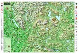
The overview map is printed on 17″ x 22″ paper, and gives a full view of the ECT, including path names, lengths (in time and kilometers), difficulty ratings, start/end points, corresponding map numbers, and more. It also provides you with the distances from St. John’s by Trail and by road.
| Region |
|---|