Additional information
| Map Type | Paper, Road |
|---|---|
| Brand |
6.95$
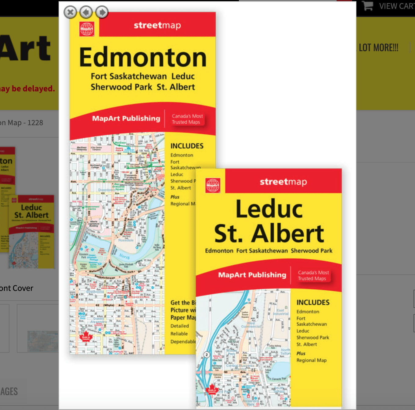
Edmonton Folded Map Mapart
0-61158-01228-4
Folded maps have been the trusted standard for years, offering unbeatable accuracy and reliability at a great price. Detailed indices make for quick and easy location of destinations. It’s a must-have for anyone travelling, working or living in Edmonton, Alberta.
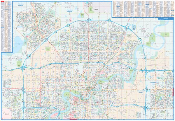
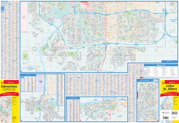
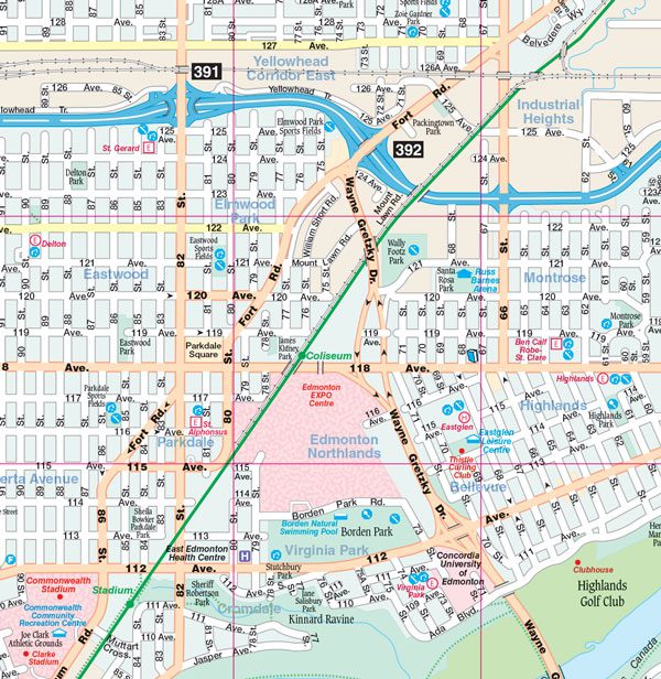
The Edmonton folded map includes detailed city mapping at 1:30,000 of Edmonton, Leduc, Sherwood Park and Fort Saskatchewan, street indexes and a legend.
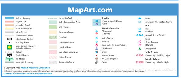
The detailed city mapping features include divided highways, major roads, secondary roads, main thoroughfares, minor streets, lanes / private streets, interchange numbers, one way streets, Trans-Canada highway, Yellowhead Route, railways, VIA Rail stations, LRT stations, bus stations, municipal boundaries, recreation trails, parks / conservation areas, golf courses, commercial areas, cemeteries, institutional areas, industrial areas, special attraction areas, Indian reserves, National Defence, hospitals, tourist information centres, police stations, fire halls, libraries, points of interest, casinos, arenas, community / recreation centres, pools, baseball, soccer, tennis, skiing, campgrounds, public and catholic schools.
Edition: 2023
Proudly made in Canada!
| Map Type | Paper, Road |
|---|---|
| Brand |