Europe Wall Map – Political

59.95$109.95$

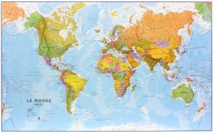
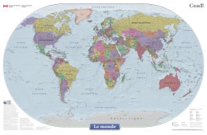
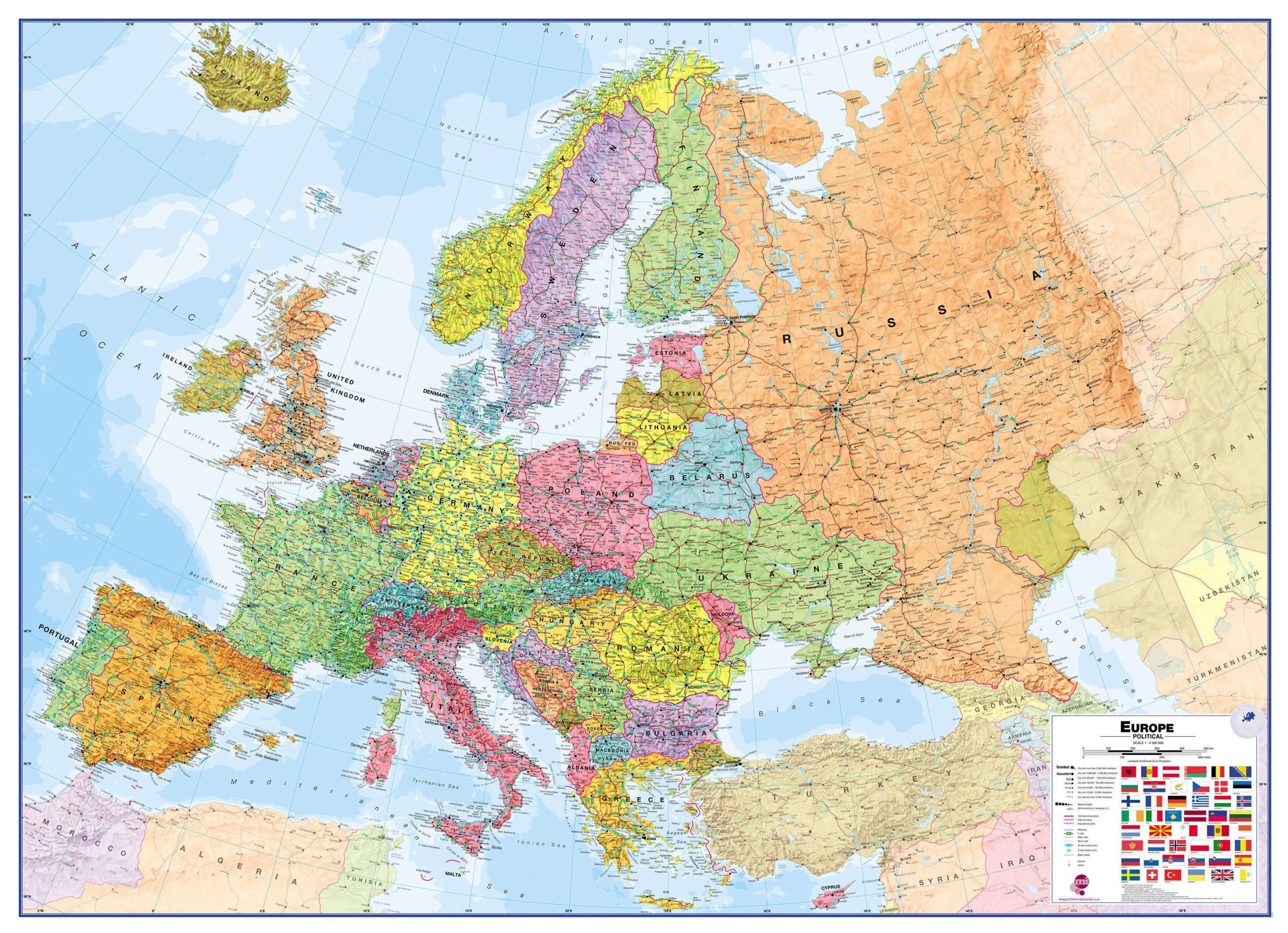
Europe Wall Map – Political is one of the finest maps of Europe available.

  • Our political wall map of Europe marks countries in different colors and shows international boundaries.
  • This map displays all major towns and cities in Europe, and clearly shows the countries’ capital cities.
  • The map contains shaded relief on land and in the sea, adding to the vibrant overall effect.
  • The wall map also has a section showing the different flags of the European countries.
  • If you are looking to buy a map of Europe, you won’t be disappointed by this stunning wall map.
  • The map’s shaded relief for land and sea makes it easier to see the mountain ranges. The shaded relief gives it life
Dimensions:
  • Large: 53 1/2 x 39 in (136 cm X 100 cm)
  • Huge: 63 1/2 x 46 in (185 x 135 cm)
Format:
  • Paper: cheaper but more fragile, Not recommended for schools and children. Best choice for framing or laminating.
  • Laminated: tear-resistant and waterproof. Possibility of writing and erasing on the card using permanent marker or not. The best choice for schools and children.
    Mounting on rigid panel (lamination on wood or foamcore panel): please contact us to obtain an estimate.

Visit our Map Accessories page to maximize your experience with your new map.

Additional information

Brand

Language

English

Plastification

Paper, Plastic

Country

, , , , , , , , , , , , , , , , , , , , , , , , , , , , , , , , , , , , , , ,

Dimension

Huge: 63 1/2 x 46 po (185 x 135 cm), Large: 53 1/2 x 39 in (136 cm X 100 cm)