Executive Political World Wall Map

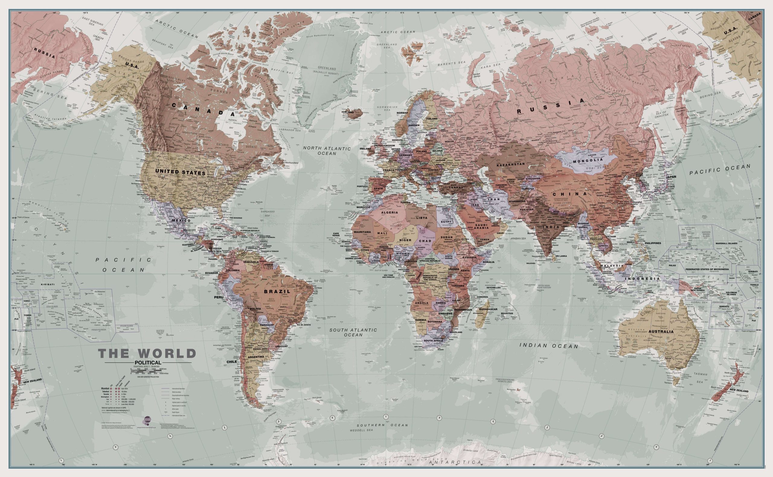
Executive Political World Wall Map. A popular executive world wall map. This map looks stunning and elegant with its artistic, antique-style muted tones.

Description:
  • This executive world wall map is complete with political details (countries shaded in different tones), country boundaries and cities.
  • The map’s shaded relief for land and sea makes it easier to see the mountain ranges. The shaded relief gives it life
Dimensions:
  • 48 x 33 in
  • 136 cm X 84 cm
Format:
  • Paper: cheaper but more fragile, Not recommended for schools and children. Best choice for framing or laminating.
  • Laminated: tear-resistant and waterproof. Possibility of writing and erasing on the card using permanent marker or not. The best choice for schools and children.
    Mounting on rigid panel (lamination on wood or foamcore panel): please contact us to obtain an estimate.

Visit our Map Accessories page to maximize your experience with your new map.

This product is currently out of stock and unavailable.

Additional information

Brand

Language

English

Plastification

Paper, Plastic

Country