Additional information
| Map Type | Trail |
|---|---|
| Country | |
| Region | |
| Brand |
24.95$
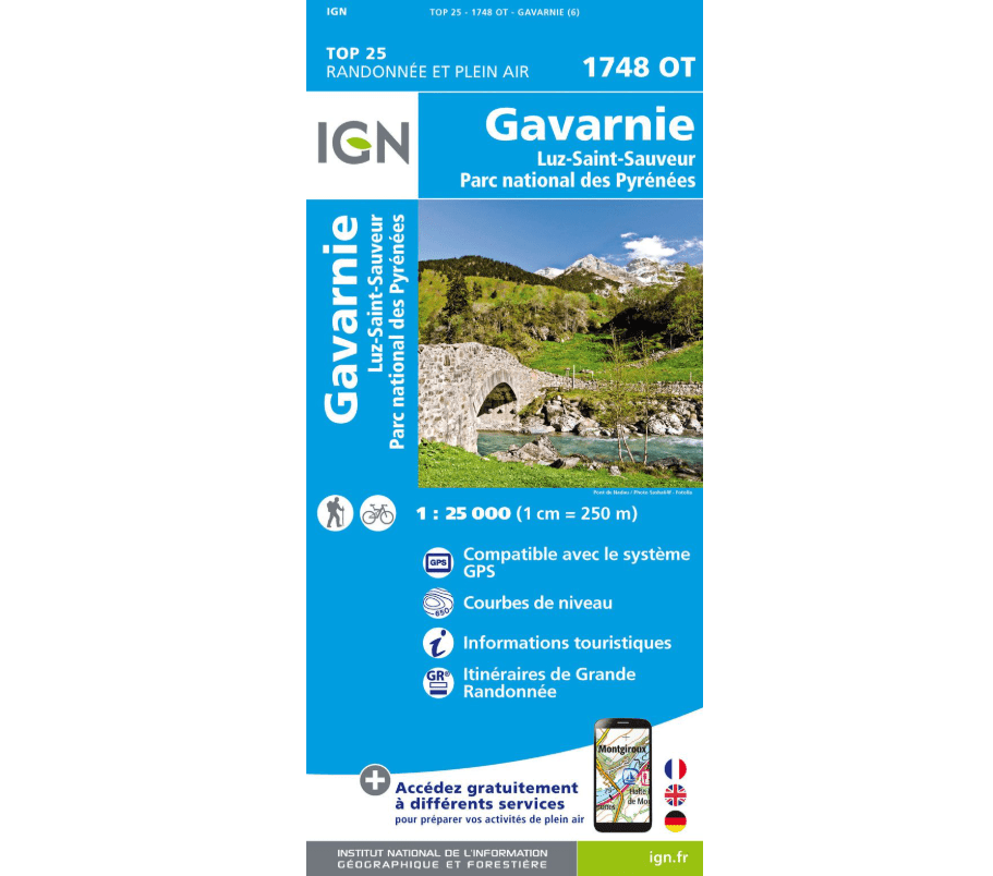
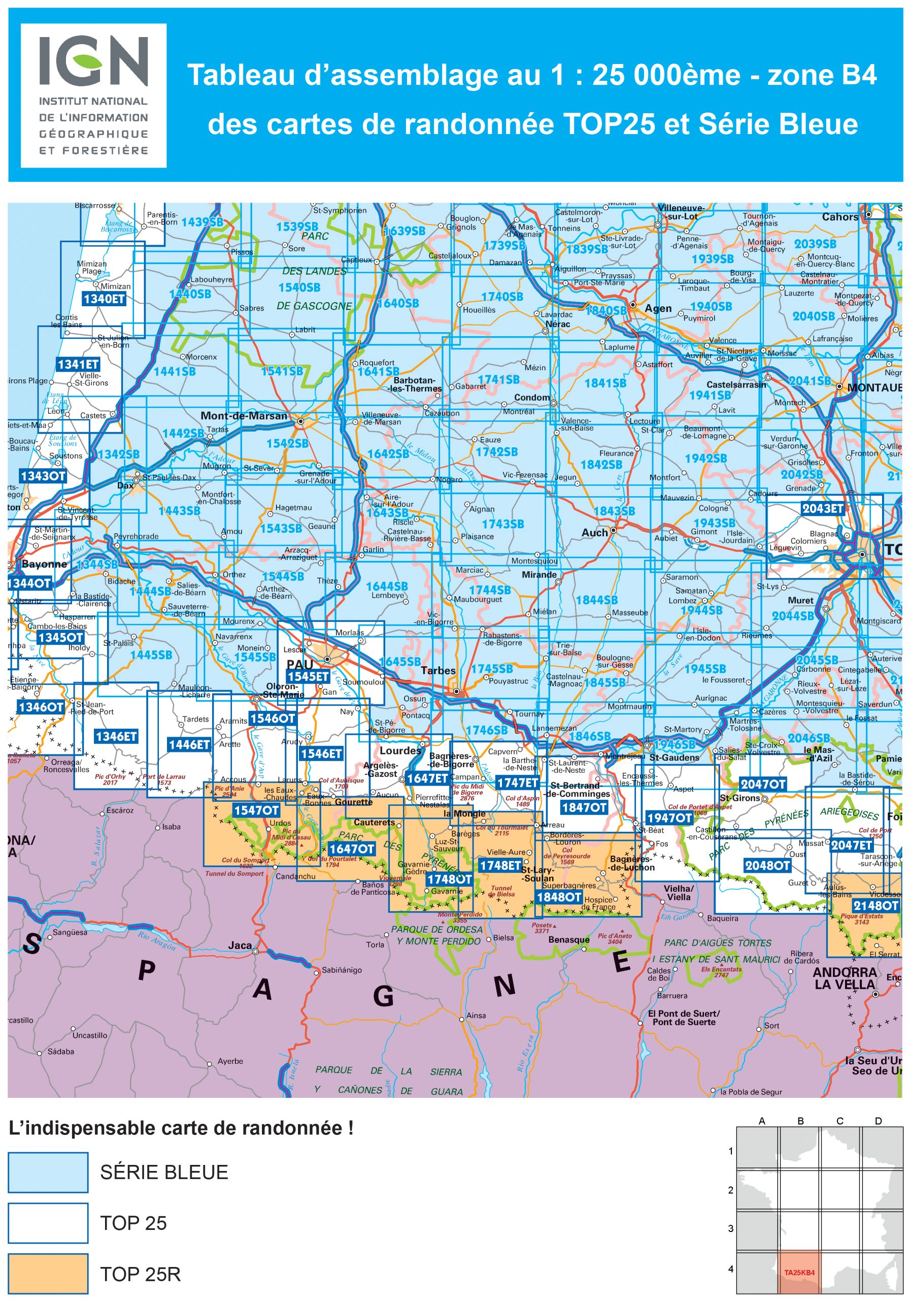
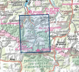
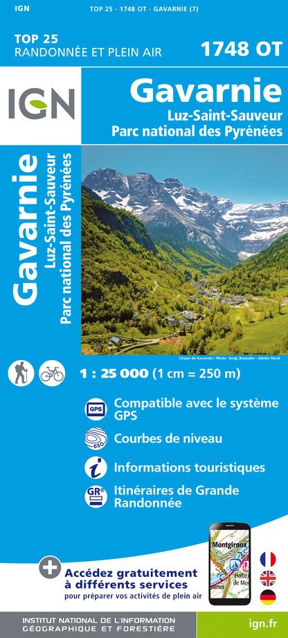
GAVARNIE – IGN 1748 OT MAP
The essential IGN 1748 OT hiking map. Its extremely precise layout contains every detail of the terrain: communication routes down to the smallest trail, buildings down to the shed, woods, isolated trees, rivers, springs, etc. Not to mention the relief representation using contour lines. Marked trails and tourist information are also shown.
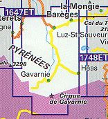
Municipalities covered: Gavarnie, Luz-Saint-Sauveur, Cauterets, Viella, Sers, Saligos, Sazos, Gavarnie-Gèdre, Sassis, Esterre, Betpouey, Esquièze-Sère, Villelongue, Chèze, Barèges, Grust, Viscos, Viey.
Places to discover: Gaube Lake, Cap de Long Lake, Blue Lake, Tentes Peak, Cabaliros Peak, Taillon, Estaragne Peaks, Sandaruelo Mountains, Lourdes Peak, Soum d’Aspé, Ardiden Peak, Néouvielle Peak, Munia Peak, Estaubé Cirque, Gavarnie Cirque, Long Peak, Pimené, Marboré Peak, Cascade Peaks, Brèche de Roland Refuge, Glère Refuge, Grange de Holle Refuge, Napoleon Bridge, the Grande Cascade, Estom Refuge, Bayssellance Refuge, Héas, Park House, Park House, Park House, Tuquerouye Refuge, Château Ste-Marie, Gavarnie Cirque, Pyrenees National Park. Scale: 1:25,000
Media: Standard paper
Release date: 07-02-2022
Dimensions: 96 cm x 132 cm
Please contact us for availability.
| Map Type | Trail |
|---|---|
| Country | |
| Region | |
| Brand |