Additional information
| Brand |
|---|
34.95$
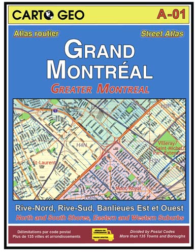
Greater Montreal Road Atlas – Carto Geo is the best road atlas for the city of Montreal and its surrounding areas. It is made in Quebec, designed, and printed by a local craftsman.
Carto Geo’s Greater Montreal Atlas is a must-have for navigating the vast Montreal region. It covers the entire territory of the Island of Montreal and the city of Laval, as well as parts of the Laurentians and Montérégie regions, including the cities of St-Jérôme to the north, St-Jean-sur-Richelieu to the south, Salaberry-de-Valleyfield to the west, and Beloeil to the east!
For a road atlas covering the entire province of Quebec, please see Carto Geo’s Grand Atlas du Québec.
| Brand |
|---|