Additional information
| Region | |
|---|---|
| Map Type | Paper, Road |
| Brand |
7.95$
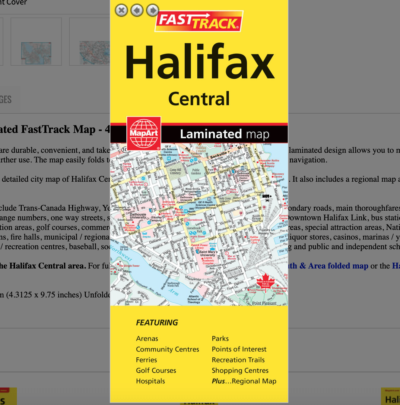
Halifax Central Laminated FastTrack Map
0-61158-00449-4
Laminated Map FastTrack maps are durable, convenient, and take all the wear and tear your journey can dish out. The laminated design allows you to mark your route, make notes, then wipe the surface clean for further use. The map easily folds to display individual sections. This is a must-have for navigation.
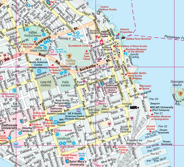
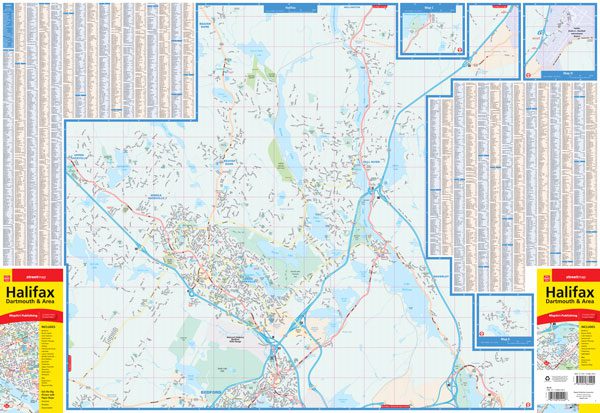
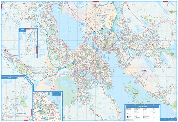
The Halifax FastTrack includes a detailed city map of Halifax Central at 1:25,000 along with an index and map legend. It also includes a regional map at 1:250,000 and a downtown Halifax map at 1:15,000.
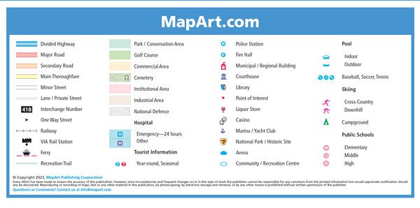
The detailed city map features include Trans-Canada Highway, Yellowhead Route, divided highways, major roads, secondary roads, main thoroughfares, minor streets, lanes / private streets, pedestrian streets, interchange numbers, one way streets, street address numbers, railways, VIA Rail stations, Downtown Halifax Link, bus stations, municipal boundaries, recreation trails, parks / conservation areas, golf courses, commercial areas, cemeteries, institutional areas, industrial areas, special attraction areas, National Defence, hospitals, tourist information centres, police stations, fire halls, municipal / regional buildings, courthouses, libraries, points of interest, liquor stores, casinos, marinas / yacht clubs, national parks / historic sites, arenas, community / recreation centres, baseball, soccer, tennis, pools, campgrounds, cross-country skiing and public and independent schools.
Note: This product focuses on the Halifax Central area. For full coverage of Halifax consider the Halifax Dartmouth & Area folded map or the Halifax & Area Nova Scotia Cities & Towns street atlas.
Edition: 2021
Proudly made in Canada!
| Region | |
|---|---|
| Map Type | Paper, Road |
| Brand |