Additional information
| Region | |
|---|---|
| Map Type | Paper, Road |
| Brand |
6.95$
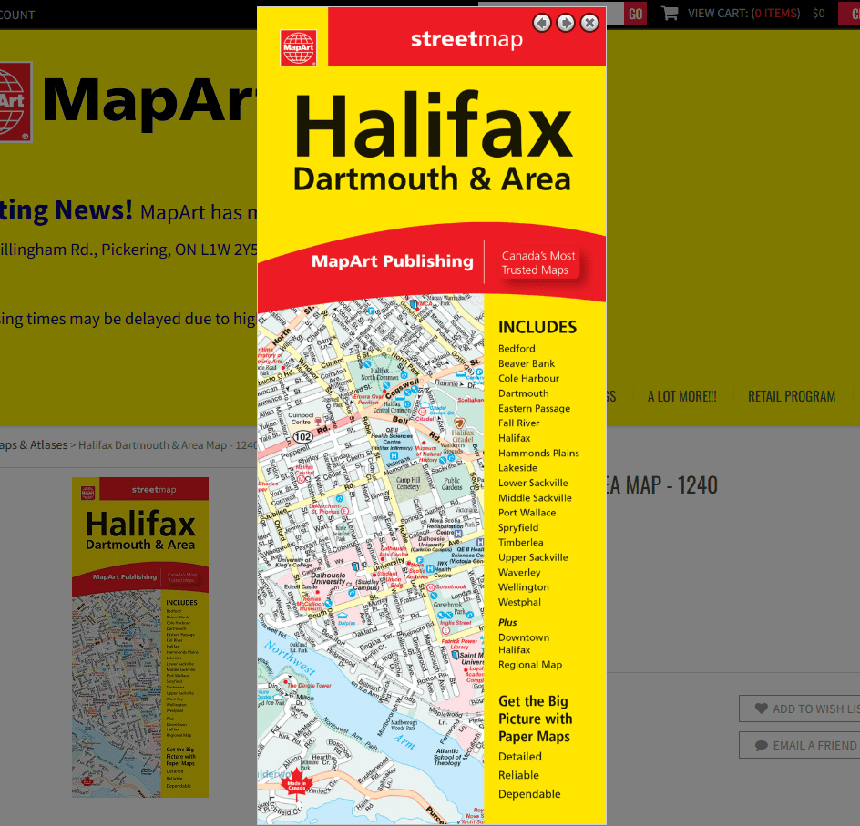
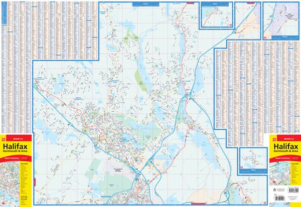
Halifax Dartmouth & Area Folded Map
Folded maps have been the trusted standard for years, offering unbeatable accuracy and reliability at a great price. Detailed indices make for quick and easy location of destinations. It’s a must-have for anyone travelling, working and living in the Halifax area.
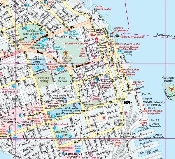
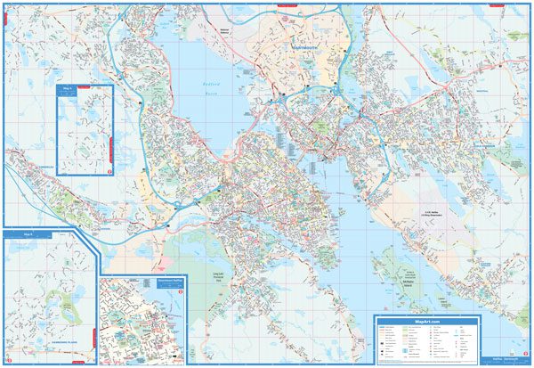
The folded map of Halifax Dartmouth & Area includes detailed city mapping, at 1:25,000 of Halifax, Dartmouth and area, street index, legend and a downtown map of Halifax at 1:15,000.
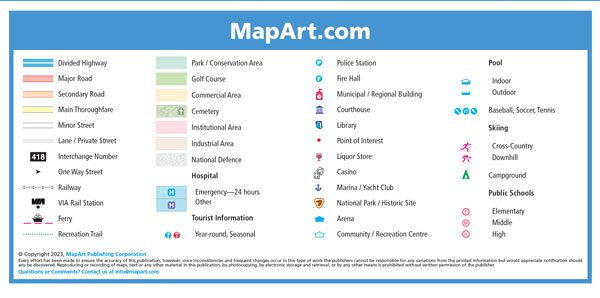
The detailed city map features include divided highways, major roads, secondary roads, main thoroughfares, minor streets, lanes / private streets, interchange numbers, one way streets, railways, VIA Rail stations, ferries, recreation trails, parks / conservation areas, golf courses, commercial areas, cemeteries, institutional areas, industrial areas, National Defence, hospitals, tourist information centres, police stations, fire halls, municipal / regional buildings, courthouses, libraries, points of interest, liquor stores, casinos, marinas / yacht clubs, national parks / historic sites, arenas, community / recreation centres, pools, baseball, soccer, tennis, skiing, campgrounds, public schools.
Edition: 2018
Proudly made in Canada!
061158011553
9781554862405
| Region | |
|---|---|
| Map Type | Paper, Road |
| Brand |