Additional information
| Region | |
|---|---|
| Map Type | Paper, Road |
| Brand |
4.95$
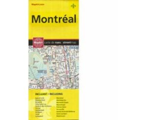
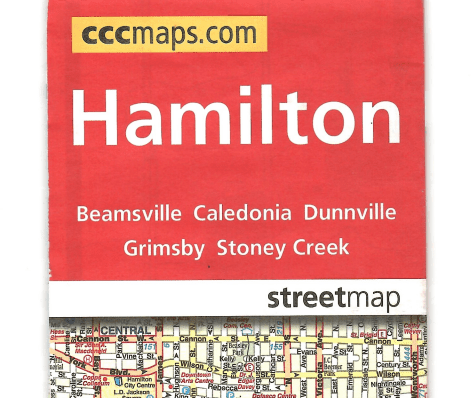
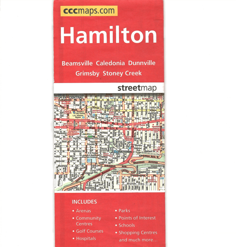
Hamilton paper folded Map
0-61158-01269-7
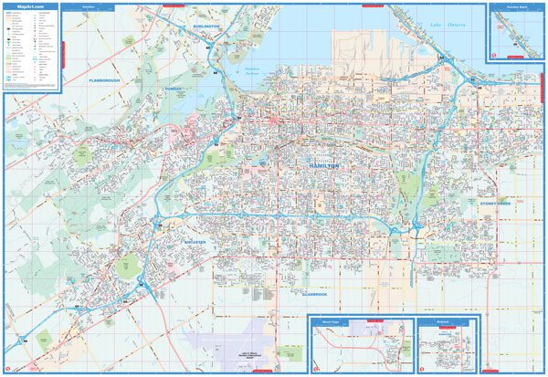
Folded maps have been the trusted standard for years, offering unbeatable accuracy and reliability at a great price. Detailed indices make for quick and easy location of destinations. It’s a must-have for anyone travelling, working or living in Hamilton, Ontario.
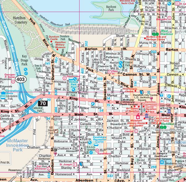
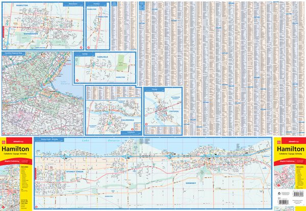
The folded map of Hamilton includes detailed city mapping at 1:25,000 of Hamilton (Ancaster, Binbrook, Carlisle, Dundas, Flamborough, Freelton, Glanbrook, Mount Hope, Stoney Creek, Waterdown), Caledonia, Cayuga, Grimsby, street indexes of each community, legend and a regional map at 1:250,000.
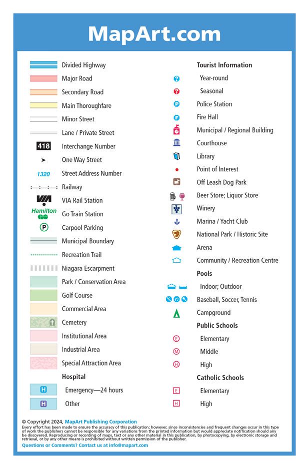
The detailed city mapping features include divided highways, major roads, secondary roads, main thoroughfares, minor streets, lanes / private streets, interchange numbers, one way streets, street address numbers, railways, VIA Rail stations, GO Train stations, bus stations, carpool parking, municipal boundaries, recreation trails, Niagara escarpment, parks / conservation areas, golf courses, commercial areas, cemeteries, institutional areas, industrial areas, special attraction areas, hospitals, tourist information centres, police stations, fire halls, libraries, points of interest, beer stores, liquor stores, wineries, national parks / historic sites, arenas, community / recreation centres, pools, baseball, soccer, tennis, campgrounds, public and catholic schools.
Edition: 2024
Proudly made in Canada!