Additional information
| Country | |
|---|---|
| Region | |
| Language | English |
| Brand |


57.95$
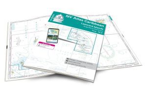
Imray Chart A28: Guadeloupe (nautical chart)
Imray-Iolaire Caribbean charts are widely recognized as the best available for boaters. They combine the latest official digital data with firsthand information gathered over 60 years of research by Don Street Jr. and his extensive network of contributors.
Like all Imray charts, they are printed on waterproof Pretex paper for increased durability and include many anchorages, facilities, and coves not listed on official charts.
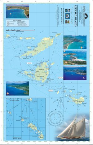
Leeward Islands maps include:
This edition presents the latest information on marine reserves. The revised buoyed approach to Pointe-à-Pitre is presented, along with a revised map showing the new channel and recommended routes. The Deshaies map has been extended to allow for a wider approach from the south. A new map of Pigeon Island is included, showing anchorages and the marine reserve. The chart specifications have been improved to display colored flashes of light. A general update has been made.
Details:
| Country | |
|---|---|
| Region | |
| Language | English |
| Brand |