Additional information
| Map Type | Paper, Road |
|---|---|
| Brand |
16.95$
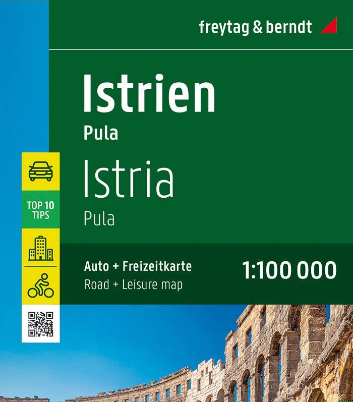
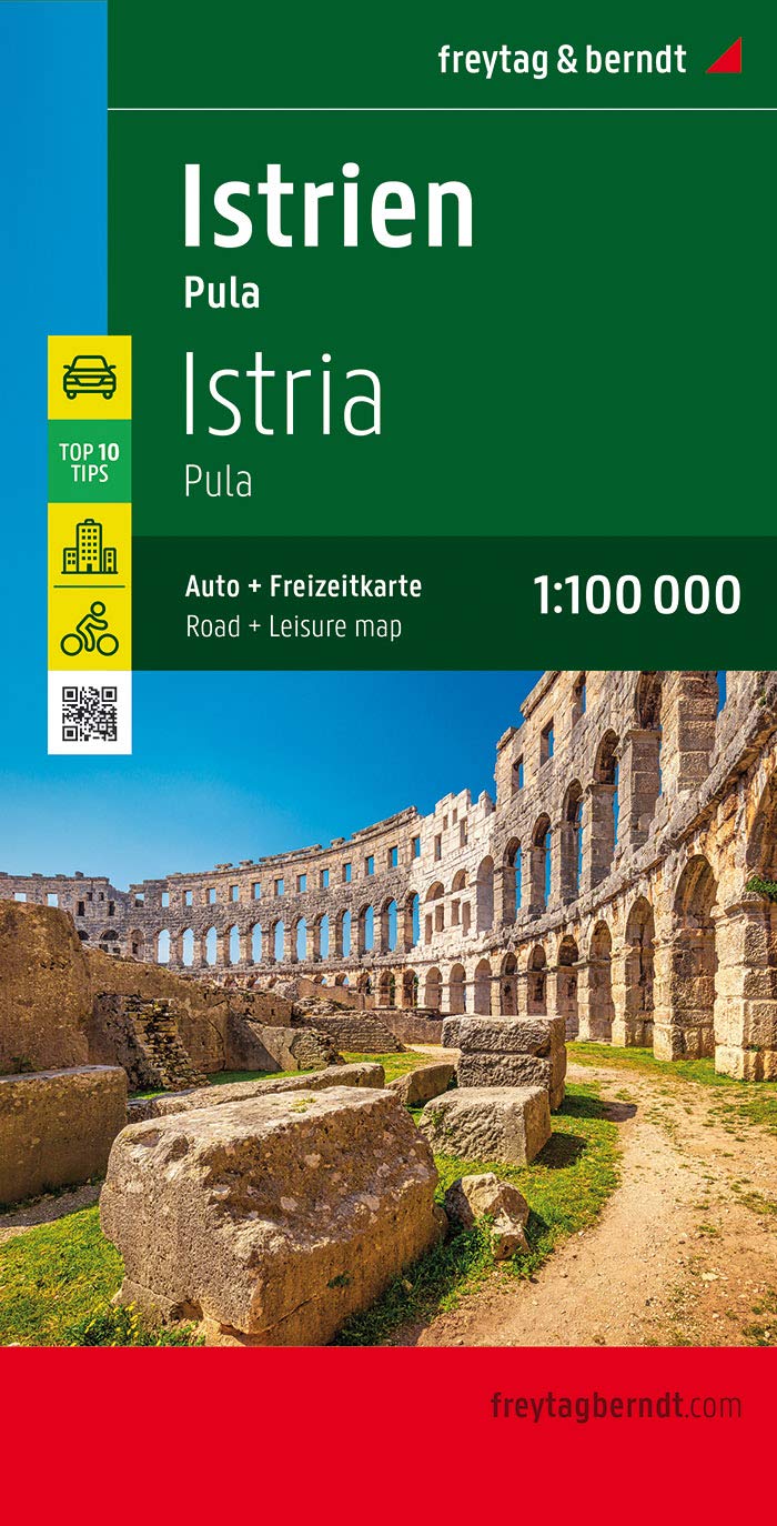
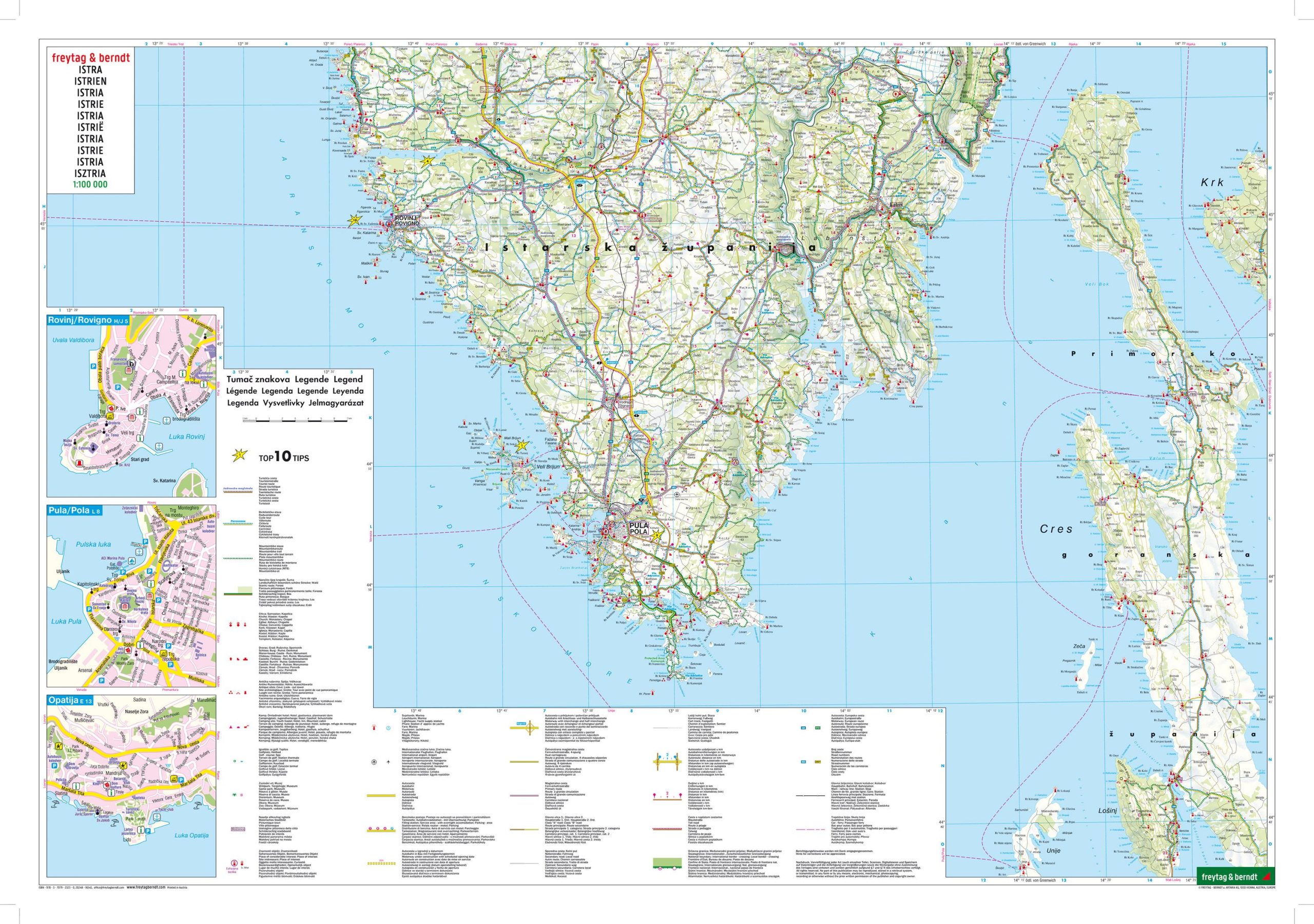
Istria (Croatia) – Freytag & Berndt Road Map
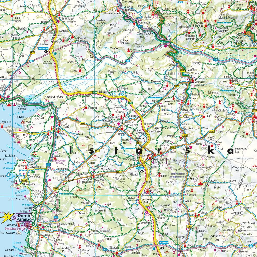
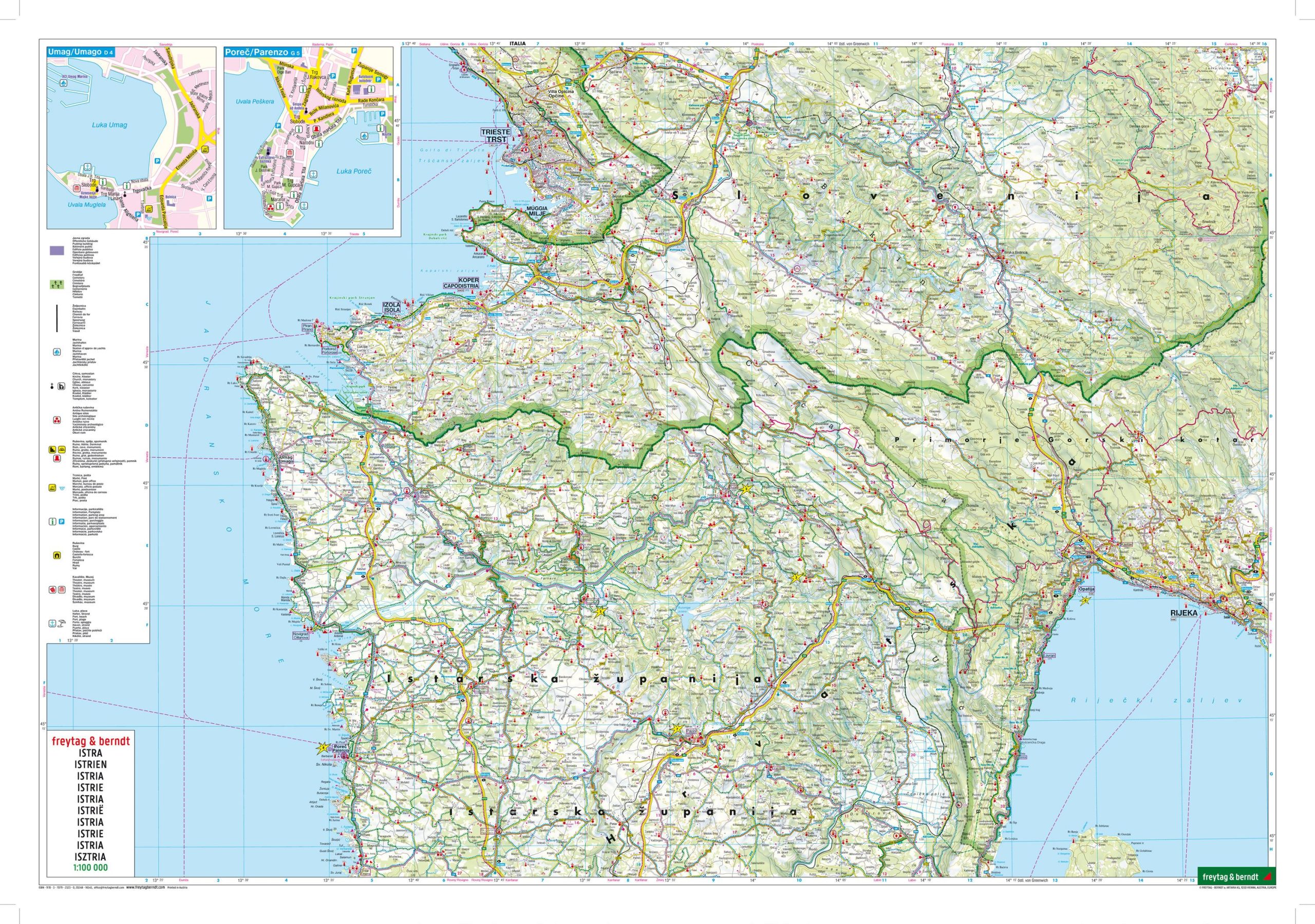
The Istria road map at a scale of 1:100,000 includes all the essential information for travelers wishing to explore the region. The comprehensive road network is precisely depicted, scenic routes are highlighted in color, and numerous tourist attractions are marked.
Drivers and motorcyclists particularly appreciate the accurate cartography from freytag & berndt for route planning and on-site navigation.
Thanks to the detailed scale, cyclists can also orient themselves easily anywhere.
Camping enthusiasts will of course find all registered campsites clearly indicated.
Scale: 1:100,000
Information guide with top travel tips
Campsites
Scenic routes
Cycling paths/routes
Index of localities with postal codes
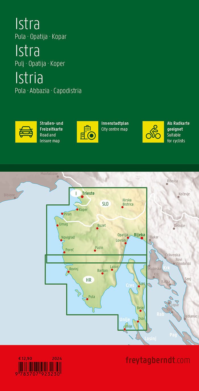
City maps: Umag, Poreč, Rovinj, Pula, Opatija
Double-sided
Size: approx. 67.5 x 98 cm
The included guide briefly describes the 10 most important tourist attractions in Istria, in German, English, Croatian, Italian, and French. These include the Brijuni Islands off the western coast of Istria, the truffle town of Buzet, the medieval village of Hum, and the old town of Pazin.
Whether you’re driving, motorcycling, or camping, this map helps you discover not only remote and lesser-known places, but also highlights scenic routes throughout the region. Campsites are clearly marked.
Printed in Austria.
ISBN: 9783707916577
Year: 2019
| Map Type | Paper, Road |
|---|---|
| Brand |