JLC Topo Map 31G16: Saint-Sauveur-des-Monts

Price range: 21.99$ through 33.99$

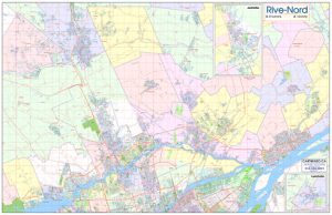
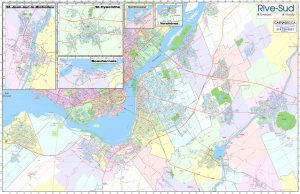
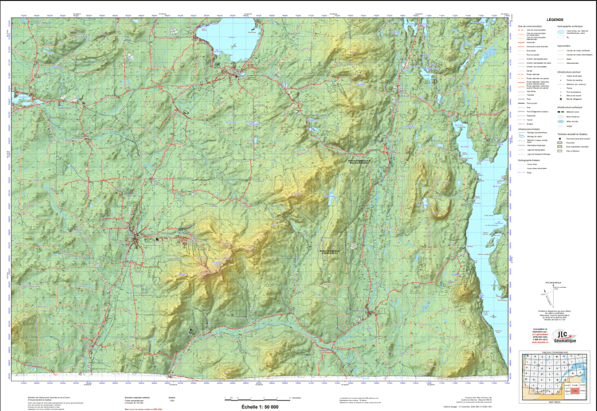
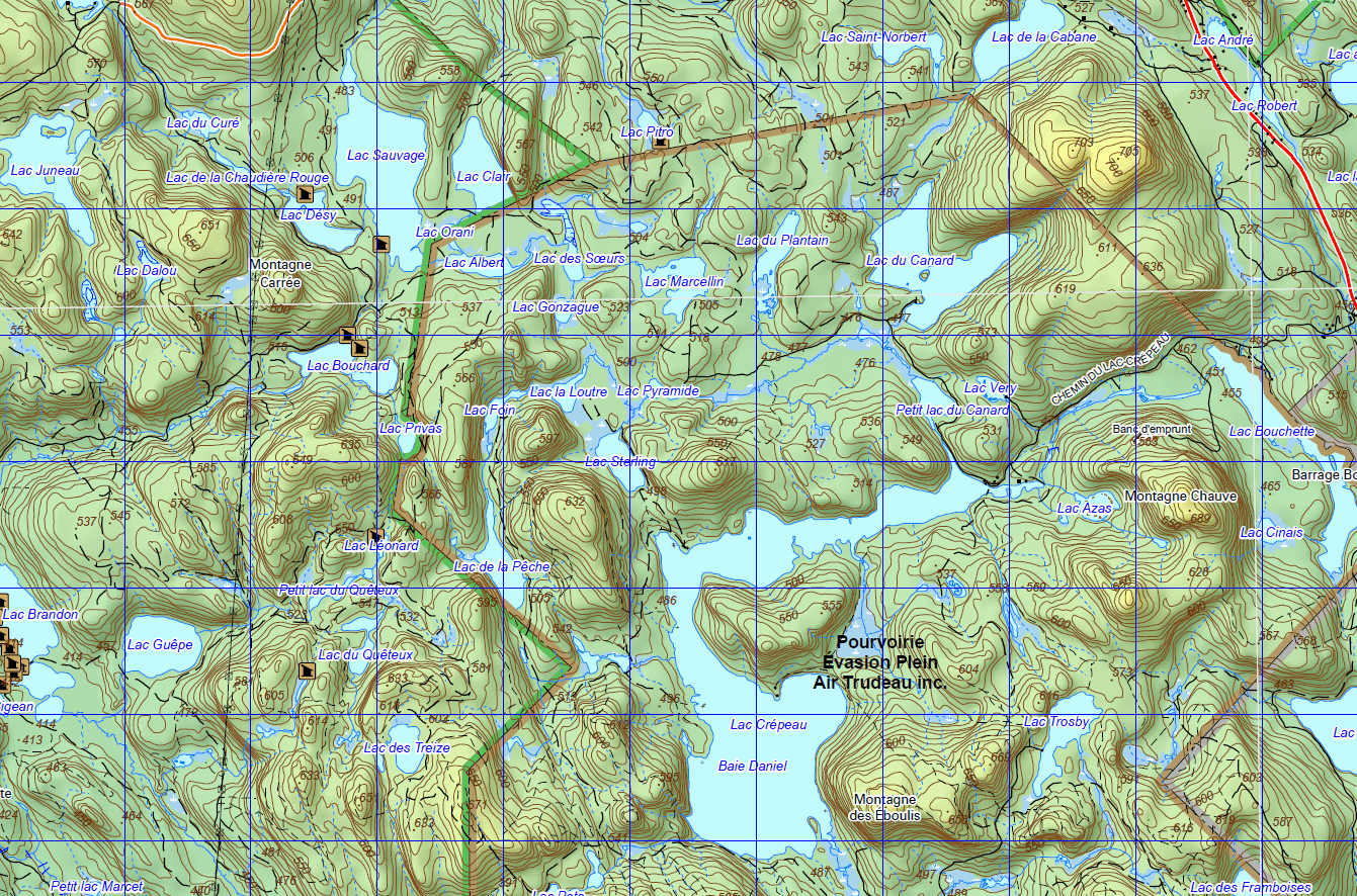
Topographic Maps Scale 1: 50 000 are suitable for a wide variety of applications, from emergency management, urban planning, surveying, resource development, to camping, canoeing, hunting and fishing to name a few. Why? Because they represent the earth’s features accurately and to scale, on a two-dimensional surface. This section provides information to facilitate the use of topographic maps, and also how to obtain paper and digital maps.

Many of you are already familiar with the topographic maps produced by JLC géomatique. If you have purchased a map in the past, you know that they are accurate and provide several benefits that other maps available on the market are lacking.

For the province of Quebec, the data used in the topographical maps is from the Ministry of Natural Resources Quebec at the scale of 1:20000. The databases are the most detailed and accurate for topographical purposes.

The main characteristic of our maps is that they illustrate an updated network of forest roads, adding to the pleasure of riding in the forest. These forest roads are updated yearly. As an additional feature, the three-dimensional effect provides a more realistic look and feel of the terrain

National Topographic System

Topographic maps produced by NRCan conform to the National Topographic System (NTS) of Canada. They are available in two standard scales: 1:50 000 and 1:250 000. Each map in this system has a unique number, which is a combination of numbers and letters. The area covered by a given mapsheet is determined by its location in Canada. To understand the numbering of these maps, refer to the National Topographic System Index Maps (in the image gallery of this product).

How are NTS map sheets defined?

Each area defined by dark grey lines is given a dark grey number (“21“, in the diagram). This is the first element in an NTS map number.

This dark grey extent is divided into 16 smaller areas defined by lighter grey lines; each of these 16 areas is labelled with a light grey letter (“O” and “J“, in the diagram). The lettering begins in the southeast (lower right-hand) corner and zigzags to the northeast (upper right-hand) corner. The letter is the second element in an NTS map number for a 1:250 000 map.

This lighter grey extent is divided into 16 areas defined by fine black lines; each of these 16 areas is labelled with a black number (“1” to “16“). The numbering begins in the southeast (lower right-hand) corner and zigzags to the northeast (upper right-hand) corner. This is the final element in an NTS map number for a 1:50 000 map.

How do I find the map of my territory?
  • You can rely on the index found in the image gallery of this article. If you want a more accurate index, continue to the next step.
  • You can download the 1:50,000 scale topographic map index file clicking here.
  • You can then open the downloaded file in free mapping software. We suggest using Google Earth Pro on desktop or on the web. You can also use the Google Earth mobile app.
  • If in doubt, do not hesitate to contact us.
  • Use the drop-down menus below to define the number of 1:50,000 scale topographic maps – Government of Canada you wish to purchase.
Dimensions:

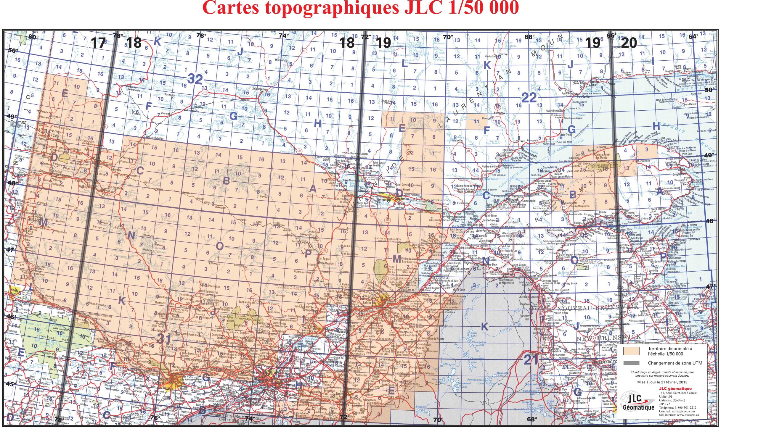
The size of topographic maps scale 1:50,000 – Government of Canada may vary depending on the edition of the map because the covering of the map, what is found in the margin, outside the map, varies depending on its edition .

Format:
  • Paper: cheaper but more fragile. Not recommended for outdoor excursions. Ideal for using a lead pencil or highlighters.
  • Laminated: tear-resistant and waterproof. Possibility of writing and erasing on the card using permanent marker or non-permanent. The best choice for keeping Topographic Maps Scale 1: 50 000 longer, whether in your home or outdoors.
Custom Maps:
  • It’s possible to order a custom map with a closer look at your region. We can produce maps at larger scales, such as 1:20,000, 1:10,000, and even higher!
  • Simply contact us by email, phone, or in person to place an order and clearly identify your area.
  • Additional options for custom maps: adding a satellite photo, adding contour lines (up to 1 meter depending on the scale), adding lot boundaries, and adding the boundaries of public lands (Crown lands) and private lands.
  • Maps can be created anywhere in Canada. JLC topographic maps are more up-to-date than federal and provincial government maps. A smart choice if you have time.

Additional information

Brand

Plastification

Paper, Plastic

Format

Folded, Rolled