Additional information
| Country | |
|---|---|
| Map Type | Paper, Trail |
| Brand |
14.95$
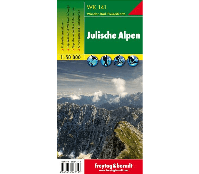
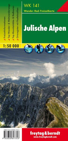
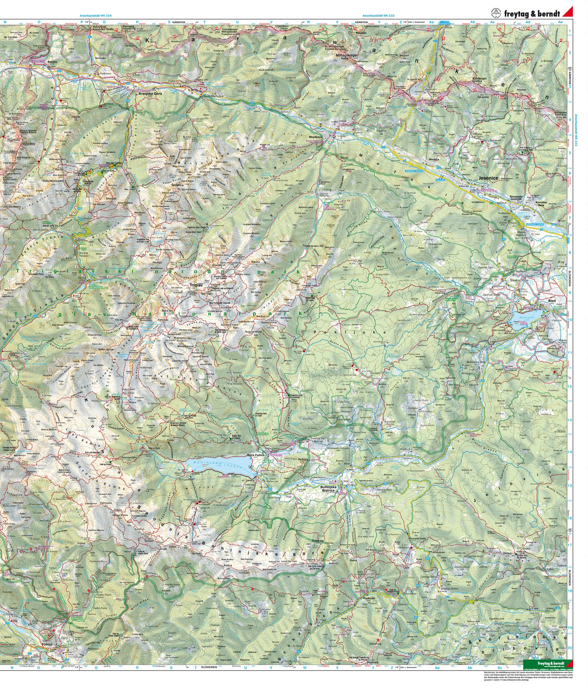
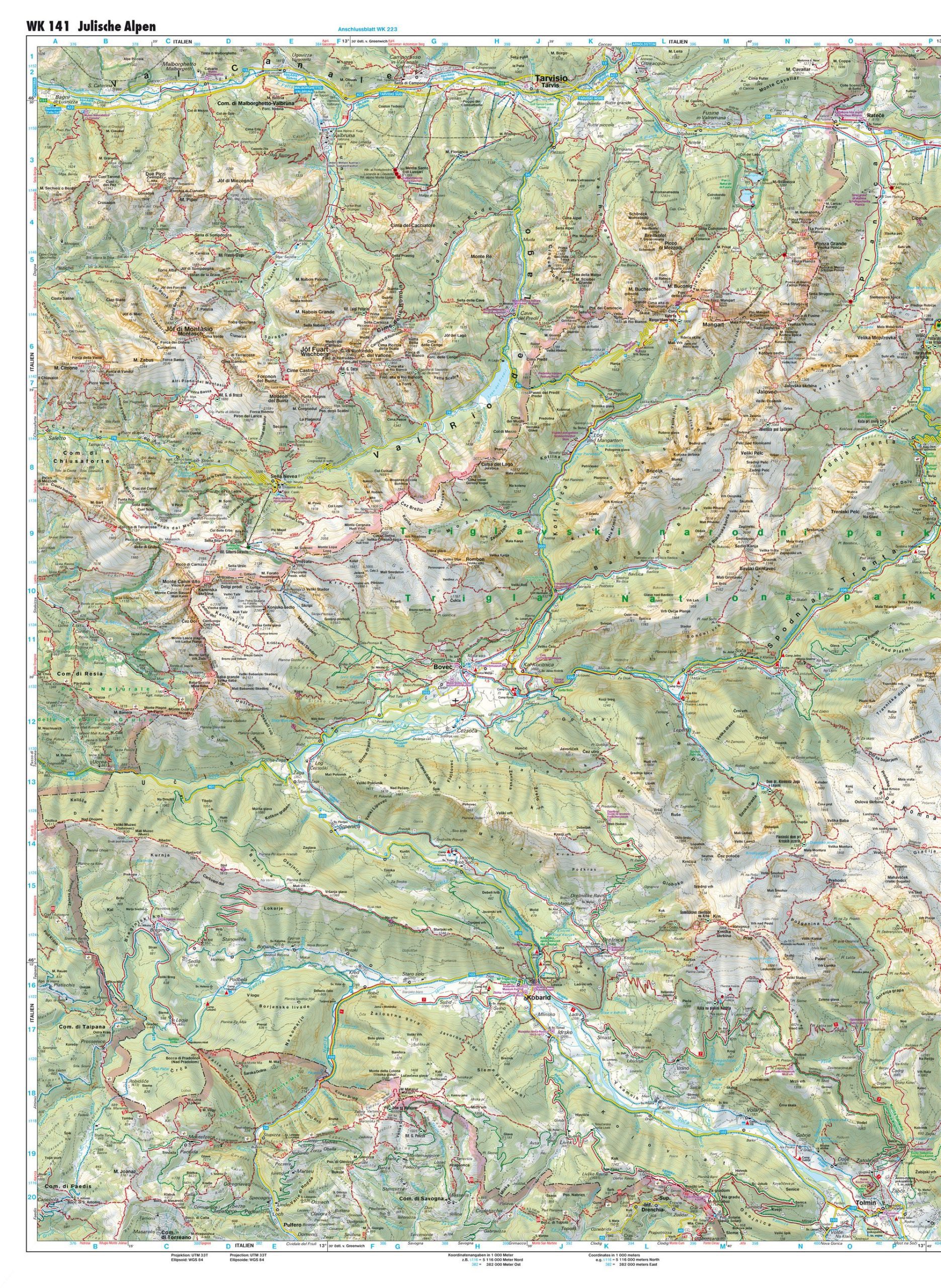
Julian Alps (Slovenia) – Freytag & Berndt Hiking Map
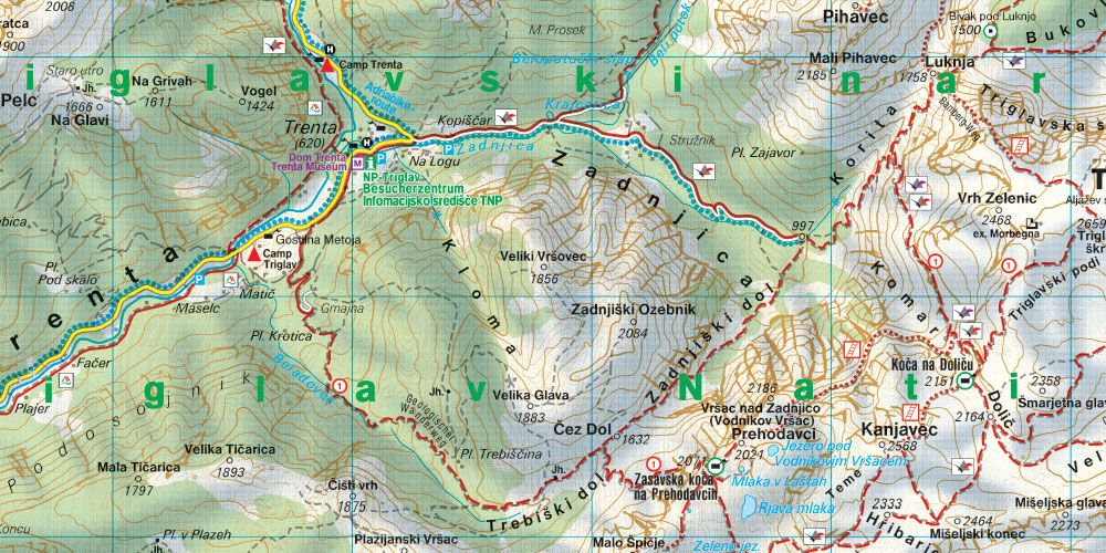
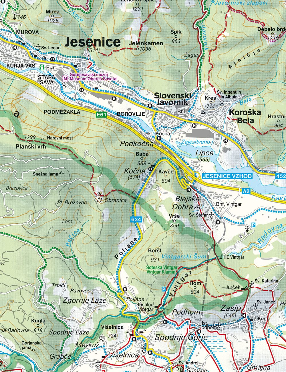
The Julian Alps hiking, biking, and leisure map is ideal for your hikes, bike tours, and excursions in the region. It allows you to plan your excursions and discover the sights and viewpoints along your route.
For winter sports enthusiasts, the map shows cross-country skiing routes, trails, and all cable cars.
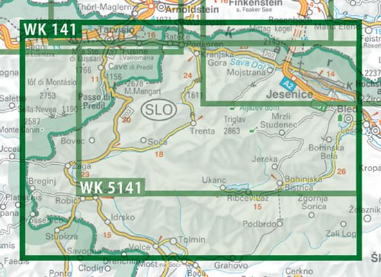
Information about the Julian Alps hiking and biking map:
Approx. 82 x 69 cm, double-sided
Information guide introducing the region and offering recommendations for the most beautiful hikes, bike tours, and mountain bike trails.
Printed in Austria.
9783850847353
| Country | |
|---|---|
| Map Type | Paper, Trail |
| Brand |