Additional information
| Brand |
|---|
29.99$
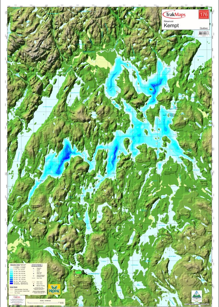
Kempt Reservoir – TrakMaps Nautical Chart
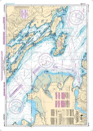
Individual Chart nautical chart. Printed on waterproof and tear-proof paper at a scale of 1:50,000. Perfect for fishing, boating and ice fishing.
This product does not contain data from all sources listed above. Other sources may also be used.
For the electronic version of this map, shop Marine Quebec – TrakMaps. SD card compatible with our Garmin GPS units. PC/MAC version does not need a GPS to work.
| Brand |
|---|