Additional information
| Region | |
|---|---|
| Map Type | Paper, Road |
| Brand |
6.95$
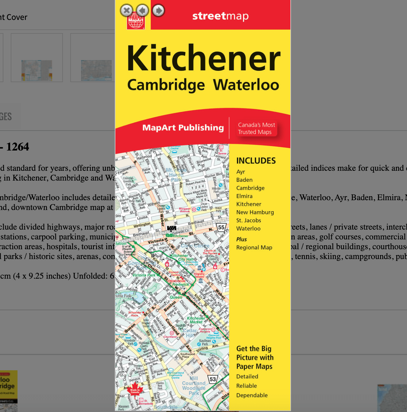
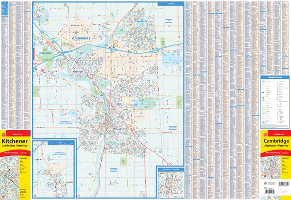
Kitchener Folded Map
0-61158-01264-2
Folded maps have been the trusted standard for years, offering unbeatable accuracy and reliability at a great price. Detailed indices make for quick and easy location of destinations. It’s a must-have for anyone travelling in Kitchener, Cambridge and Waterloo area, Ontario.
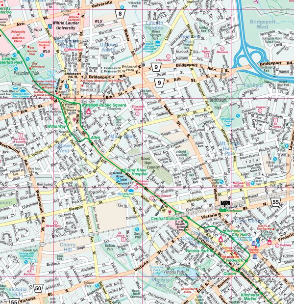
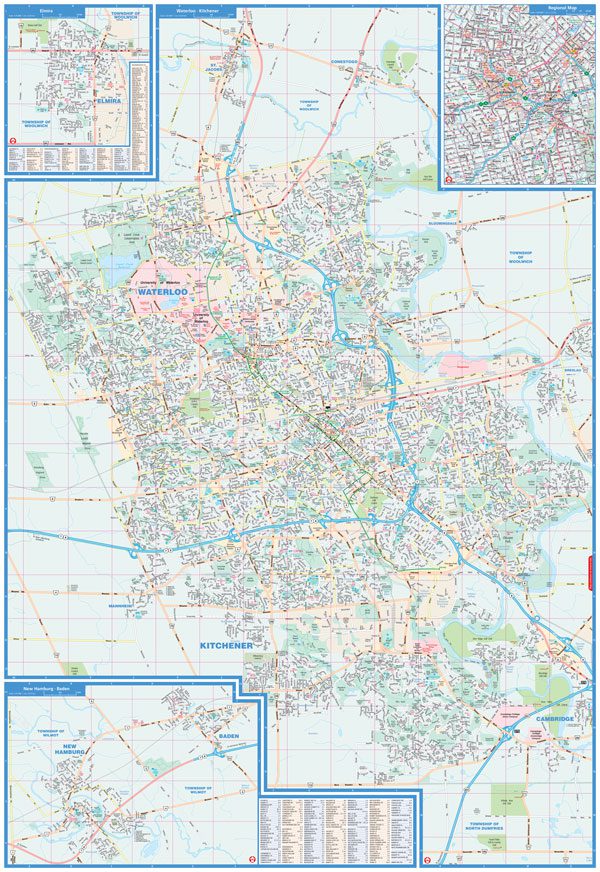
The folded map of Kitchener/Cambridge/Waterloo includes detailed city mapping at 1:25,000 of Kitchener, Cambridge, Waterloo, Ayr, Baden, Elmira, New Hamburg, St. Jacobs, street indexes of each community, legend, downtown Cambridge map at 1:15,000 and a regional map at 1:250,000.
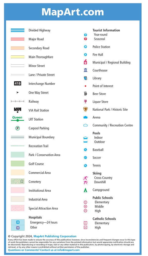
The detailed city map features include divided highways, major roads, secondary roads, main thoroughfares, minor streets, lanes / private streets, interchange numbers, one way streets, railways, VIA Rail stations, LRT stations, carpool parking, municipal boundaries, recreation trails, parks / conservation areas, golf courses, commercial areas, cemeteries, institutional areas, industrial areas, special attraction areas, hospitals, tourist information centres, police stations, fire halls, municipal / regional buildings, courthouses, libraries, points of interest, beer stores, liquor stores, national parks / historic sites, arenas, community / recreation centres, pools, baseball, soccer, tennis, skiing, campgrounds, public and catholic schools.
Dimensions: Folded: 10.2 x 23.5 cm (4 x 9.25 inches) Unfolded: 68.6 x 99.7 cm (27 x 39.25 inches)
Edition: 2024
Proudly made in Canada!
Available on backorder