Additional information
| Country | |
|---|---|
| Region | |
| Map Type | Paper, Road, Trail |
| Brand |
16.95$
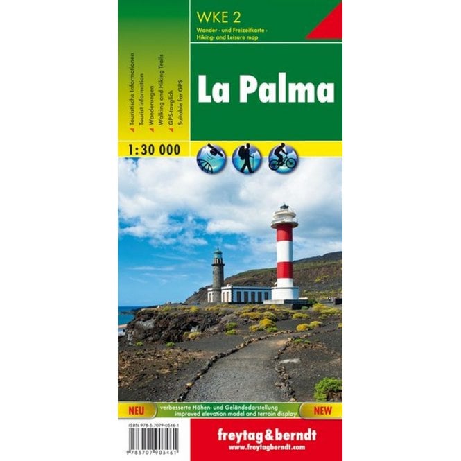
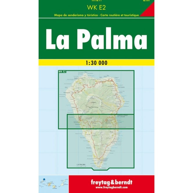
La Palma – Freytag & Berndt Hiking Map
The La Palma hiking map is ideal for your hikes and excursions on the northwesternmost island of the Canaries. Plan your tours and discover the sights and viewpoints along your route.
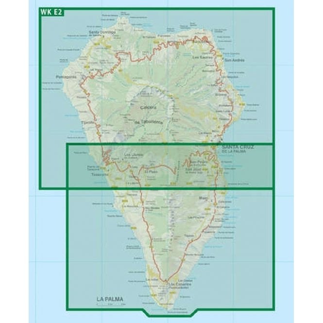
The La Palma 1:30,000 hiking map contains up-to-date information on hiking trails, cycling and mountain biking routes, mountain refuges, natural monuments, cultural attractions, and leisure facilities.
The enclosed information booklet presents a selection of the best hiking trails as well as a brief description of the island and its leisure activities.
Details:
Information about the La Palma hiking and cycling map:
Languages: French, German, English, Spanish
Printed in Austria.
| Country | |
|---|---|
| Region | |
| Map Type | Paper, Road, Trail |
| Brand |