Additional information
| Brand |
|---|
15.99$
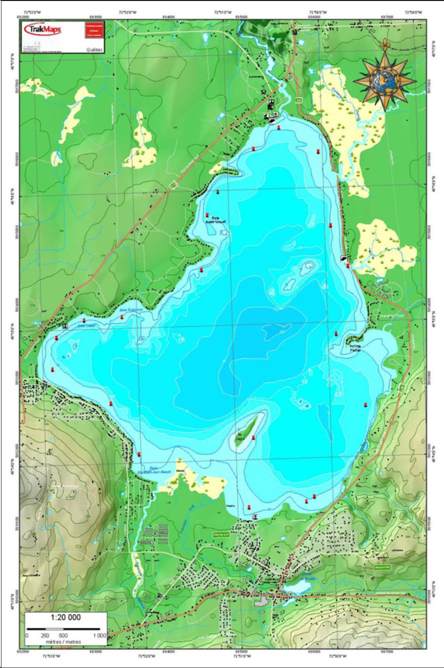
TrakMaps Lake Chart
This product does not contain data from all sources listed above. Other sources may also be used.
Buy the electronic version of TrakMaps Lake Chart. Install it on your computer. Also compatible with Garmin GPS.
| Brand |
|---|