Additional information
| Region | |
|---|---|
| Map Type | Paper, Road |
| Brand |
6.95$
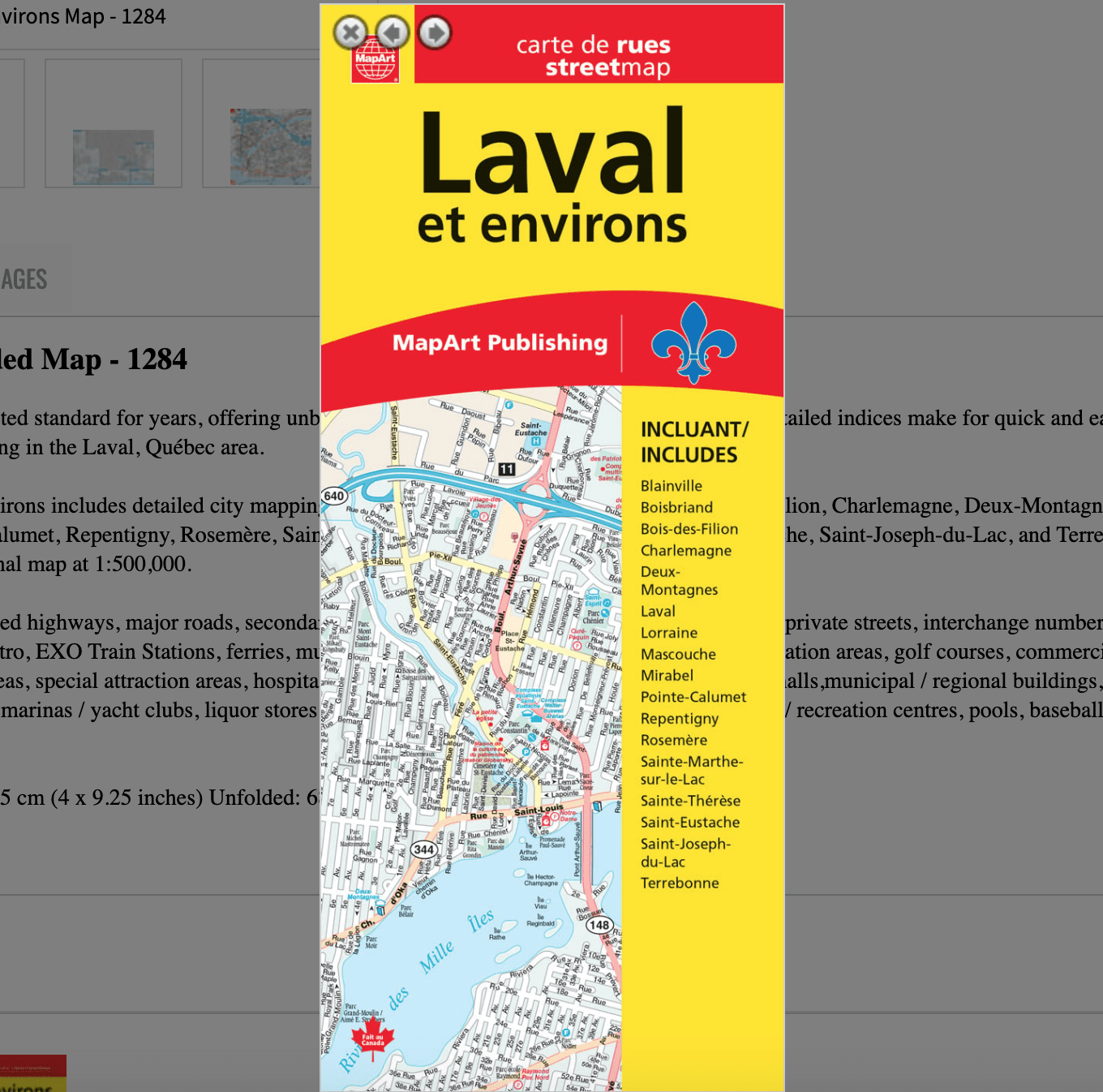
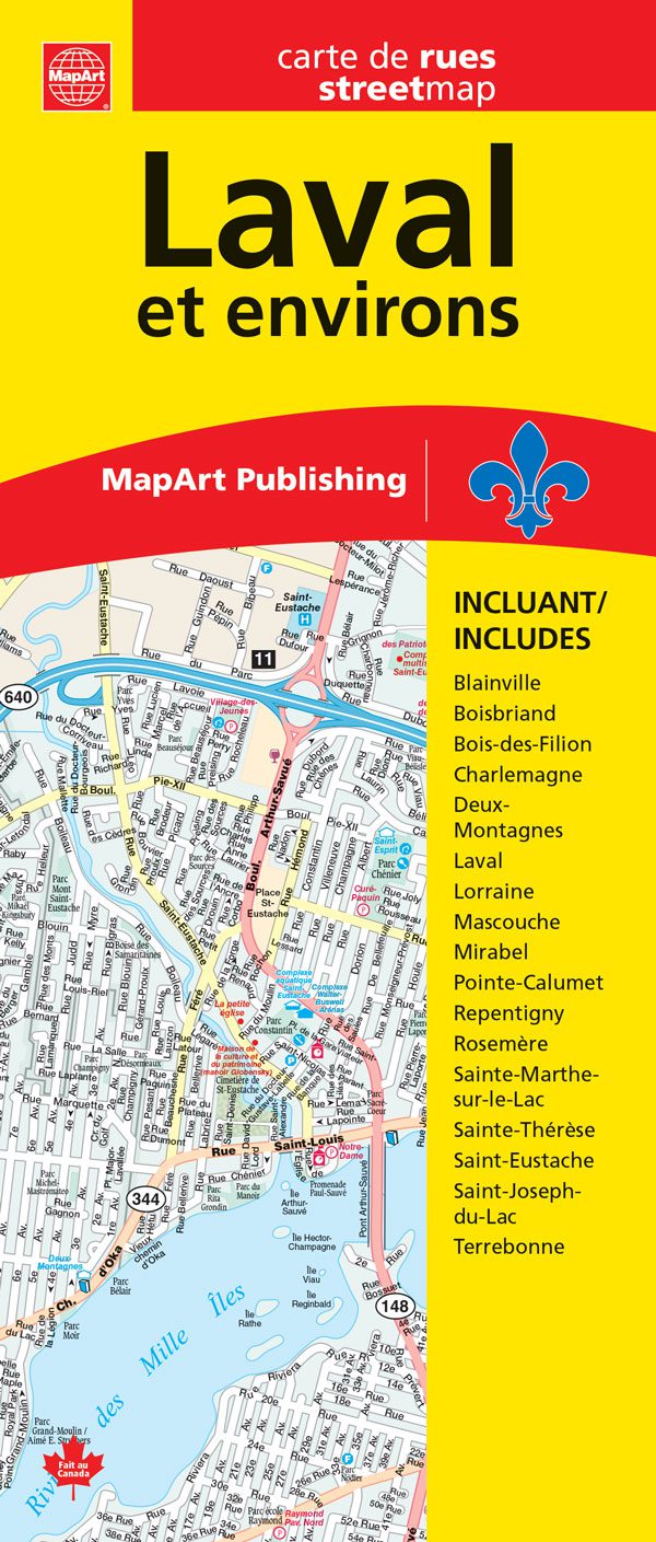
Laval et environs Folded Map
0-61158-01284-0
Folded maps have been the trusted standard for years, offering unbeatable accuracy and reliability at a great price. Detailed indices make for quick and easy location of destinations. It’s a must-have for anyone travelling in the Laval, Québec area.
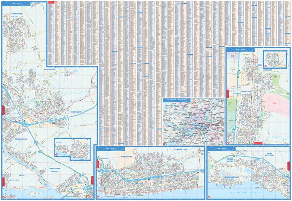
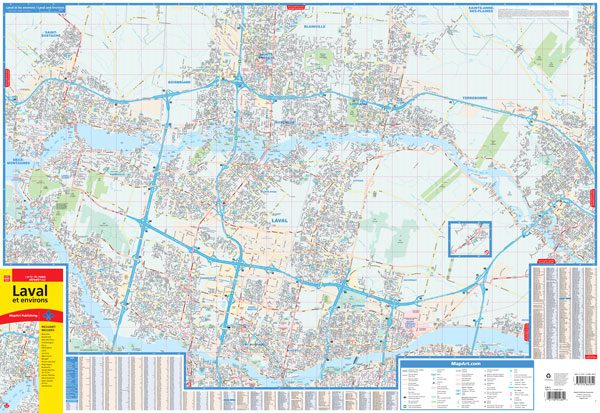
The folded map of Lavel et environs includes detailed city mapping at 1:30,000 of Blainville, Boisbriand, Bois-des-Filion, Charlemagne, Deux-Montagnes, Laval, Lorraine, Mascouche, Mirabel, Pointe-Calumet, Repentigny, Rosemère, Sainte-Marthe-sur-le-Lac, Sainte-Thérèse, Saint-Eustache, Saint-Joseph-du-Lac, and Terrebonne, street indexes of each community, legend and a regional map at 1:500,000.
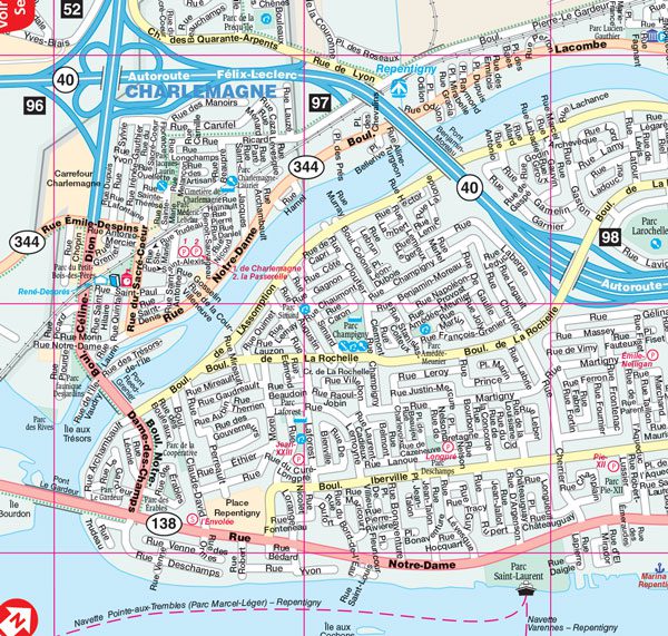
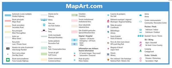
City map features include divided highways, major roads, secondary roads, main thoroughfares, minor streets, lanes / private streets, interchange numbers, one way streets, Trans-Canada Highway, railways, Métro, EXO Train Stations, ferries, municipal boundaries, recreation trail, parks / conservation areas, golf courses, commercial areas, cemeteries, institutional areas, industrial areas, special attraction areas, hospitals, tourist information centres, police stations, fire halls,municipal / regional buildings, courthouses, libraries, points of interest, off leash dog parks, marinas / yacht clubs, liquor stores, National Parks / historic sites, arenas, community / recreation centres, pools, baseball, soccer, tennis, skiing, campgrounds and schools.
Edition: 2024
Proudly made in Canada!