Additional information
| Brand |
|---|
29.50$
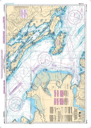
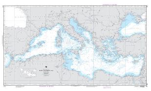
Mediterranean Sea (OMEGA) – Carte NGA 310
This product does not contain data from all sources listed above. Other sources may also be used.
This chart meets the requirements for the mandatory carriage of nautical charts established by the U.S. Coast Guard.
| Brand |
|---|