Additional information
| Region | |
|---|---|
| Map Type | Laminated |
| Brand |
35.00$
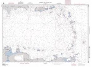
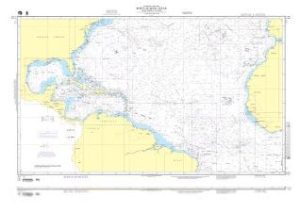
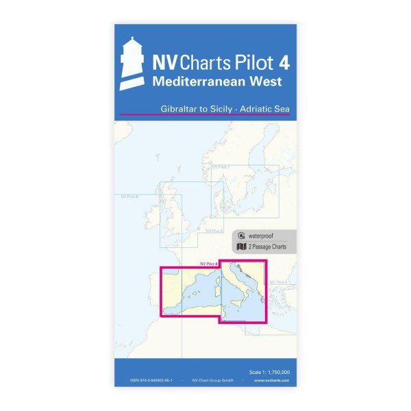
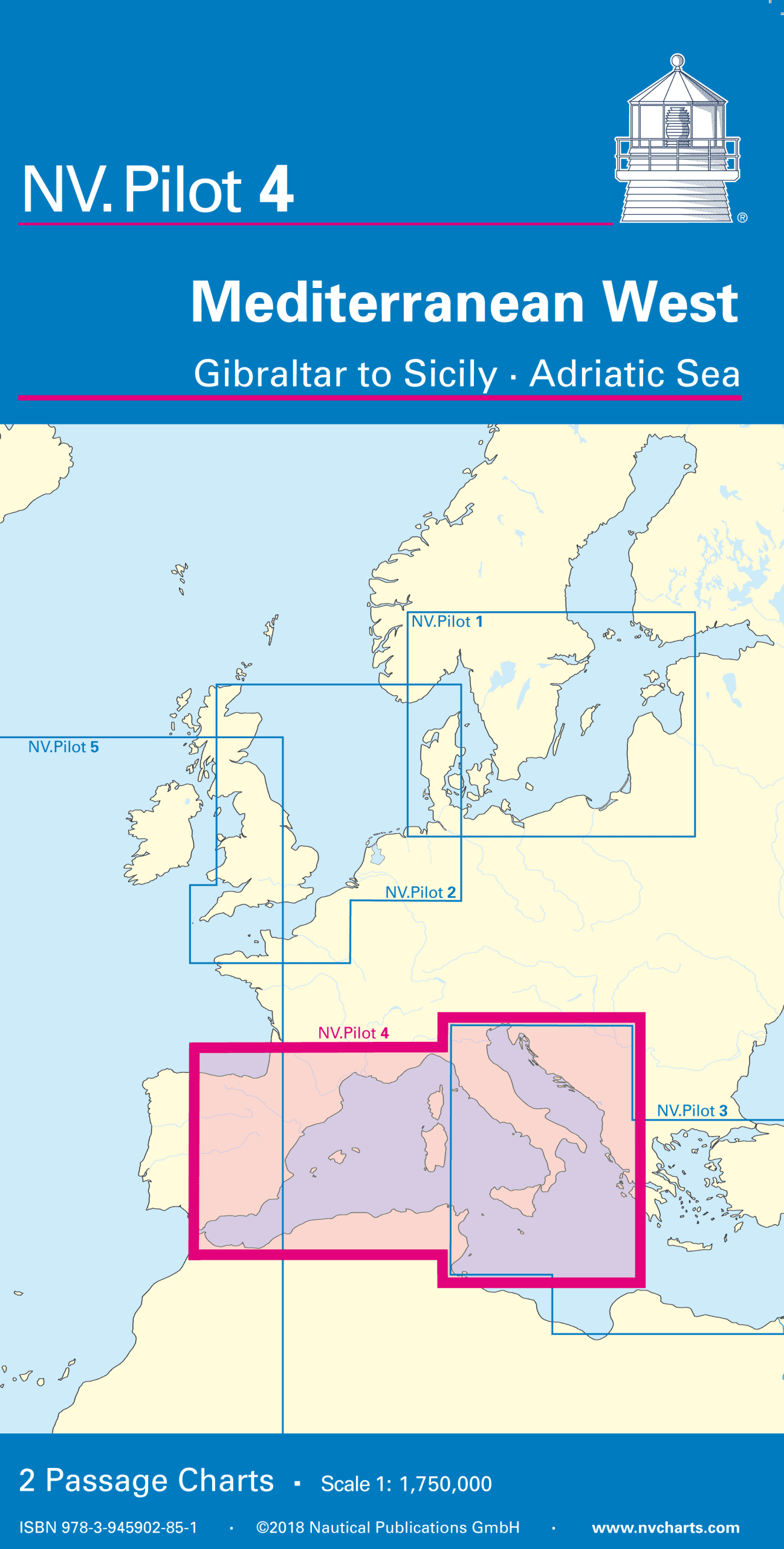
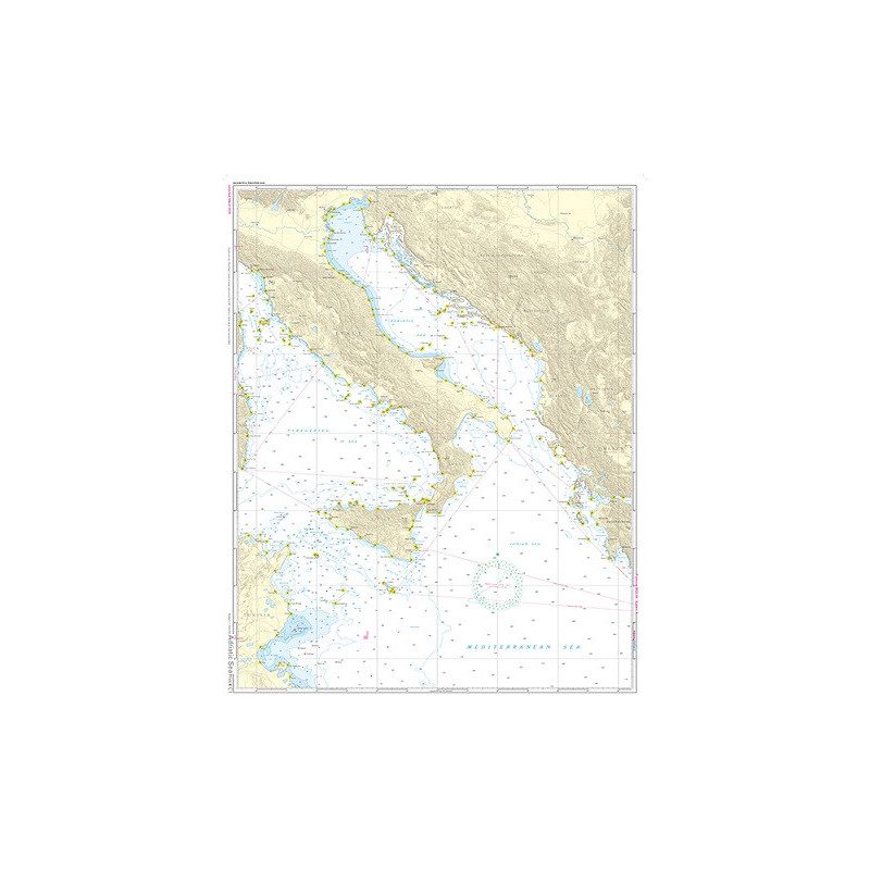
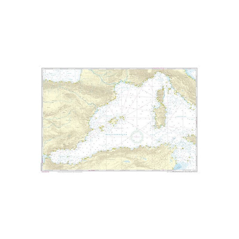
Front page Tyrenian Sea, Adria, Ionian Sea and waters south of Sicily up to the coast of Tunesia scale 1: 1,75 Mio. Backside Western Mediterranean from Gibraltar to Palermo (Sicily) scale 1: 1,75 Mio. Both charts contain the relevant lights and route including distances to enable proper passage planning.
English language, charts in A1 format, folded to abt. 15 x 30 cm.
| Region | |
|---|---|
| Map Type | Laminated |
| Brand |