Additional information
| Region | |
|---|---|
| Map Type | Road atlas |
9.95$
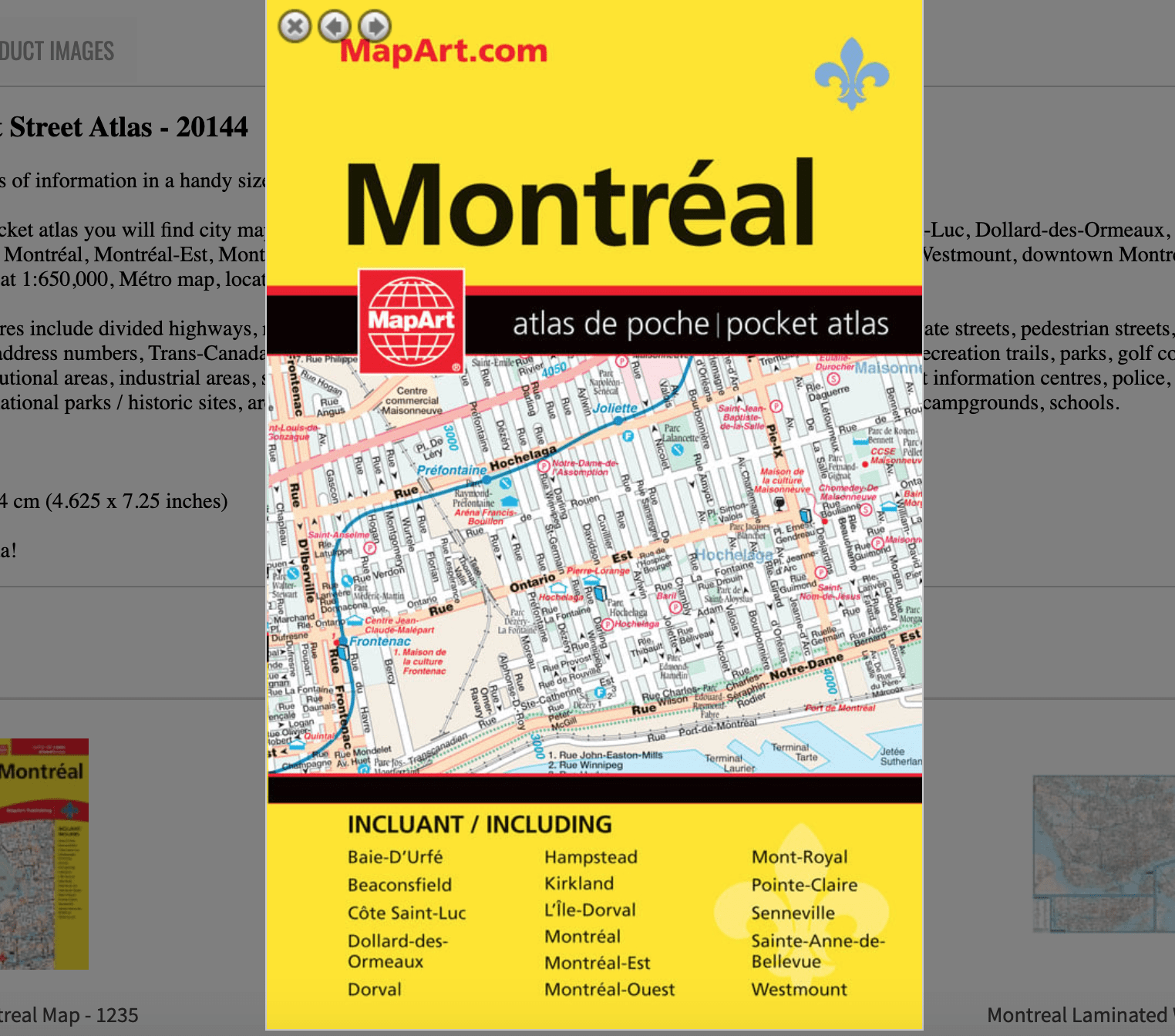
Montréal Pocket Street Atlas
066770201443
Pocket Atlases pack lots of information in a handy size that easily fits into a purse or pocket.
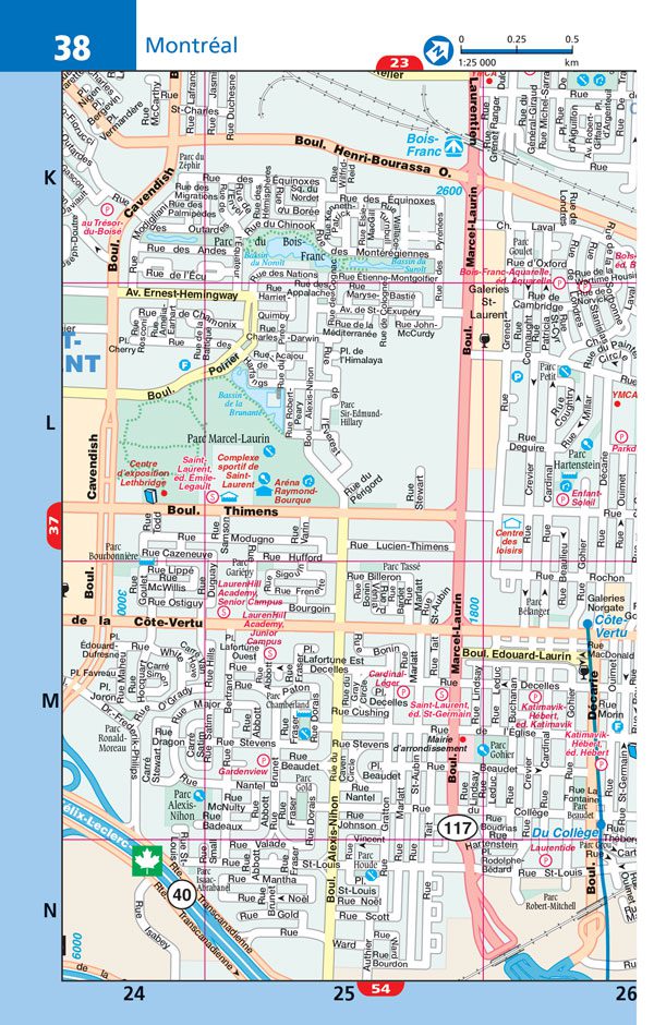
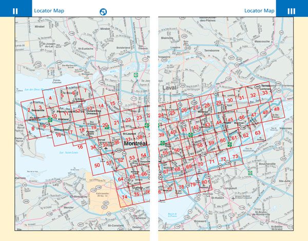
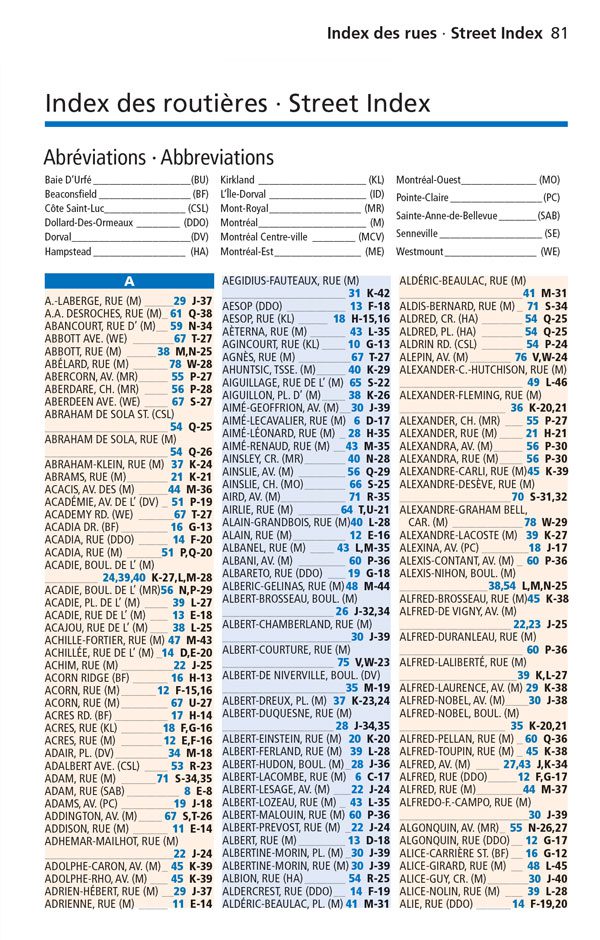
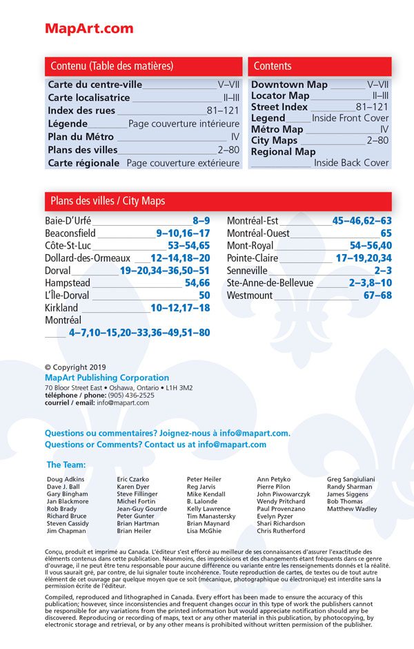
Inside this 128 page pocket atlas you will find city mapping of Montréal at 1:25,000 including Baie-D’Urfé, Beaconsfield, Côte-St-Luc, Dollard-des-Ormeaux, Dorval, Hampstead, L’Île-Dorval, Kirkland, Montréal, Montréal-Est, Montréal-Ouest, Mont-Royal, Pointe-Claire, Senneville, Ste-Anne-de-Bellevue, Westmount, downtown Montréal map at 1:12,500, Montréal regional map at 1:650,000, Métro map, locator maps, city map legend and a street name index.
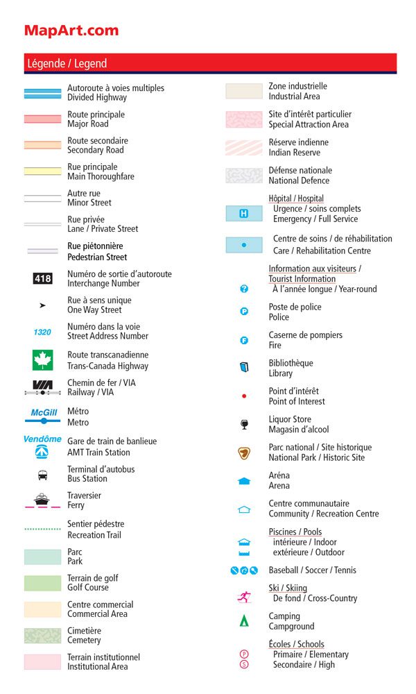
Detailed city map features include divided highways, major roads, secondary roads, main thoroughfares, minor streets, lanes / private streets, pedestrian streets, interchange numbers, one way streets, street address numbers, Trans-Canada Highway, Railways / VIA, Metro, exo Train stations, bus stations, ferries, recreation trails, parks, golf courses, commercial areas, cemeteries, institutional areas, industrial areas, special attraction areas, Indian Reserves, National Defence, Hospitals, tourist information centres, police, fire, libraries, points of interest, liquor stores, national parks / historic sites, arenas, community / recreation centres, pools, baseball, soccer, tennis, skiing, campgrounds, schools.
Saddlestitch bound
Dimensions: 11.7 x 18.4 cm (4.625 x 7.25 inches)
Proudly made in Canada!