Additional information
| Region | |
|---|---|
| Map Type | Laminated, Road |
| Brand |
9.95$
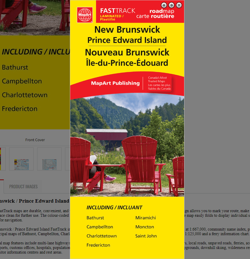
New Brunswick / Prince Edward Island Laminated FastTrack Map
0-61158-01281-9
Laminated FastTrack maps are durable, convenient, and take all the wear and tear your journey can dish out. The laminated design allows you to mark your route, make notes, then wipe the surface clean for further use. The colour-coded highways and clear exit names make for quick and easy navigation. The map easily folds to display individual sections. This is a must-have for navigation.
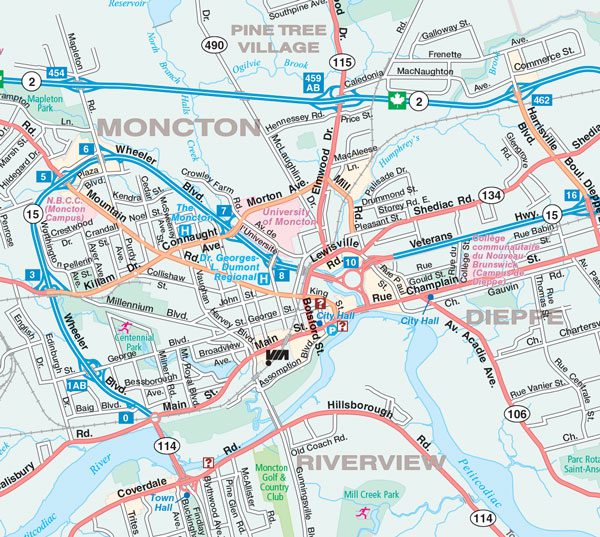
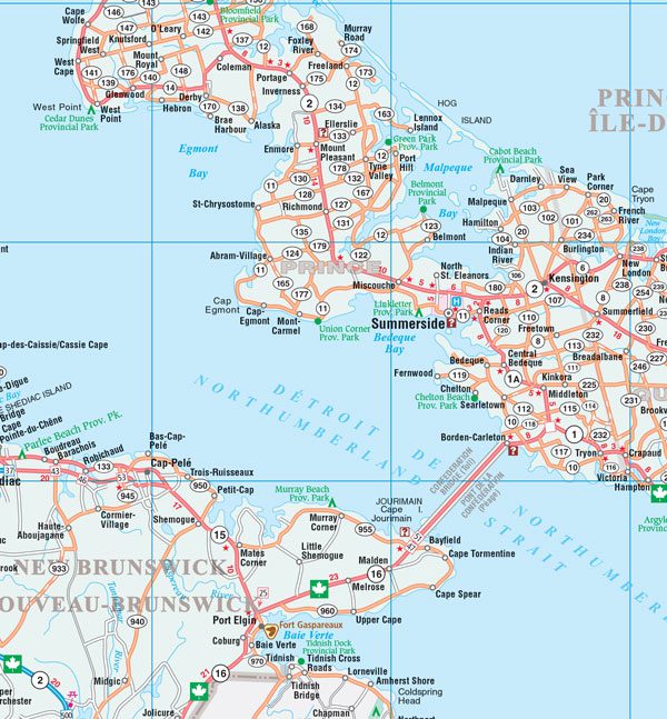
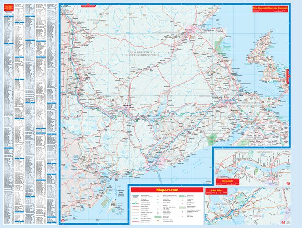
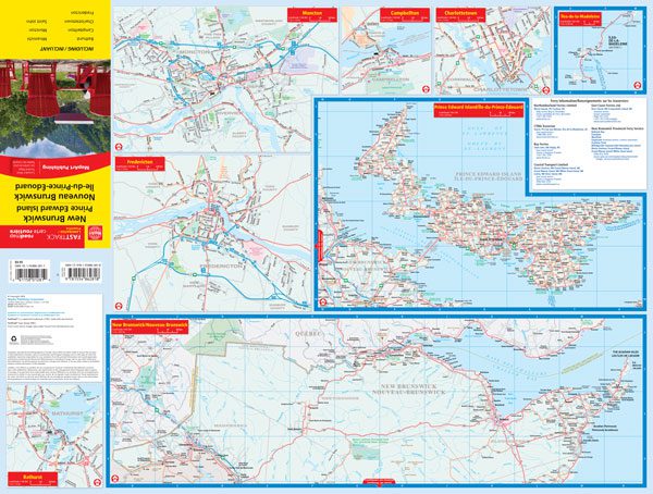
The New Brunswick / Prince Edward Island FastTrack includes a provincial maps of New Brunswick and Prince Edward Island at 1:667,000, community name index, provincial map legend, municipal maps of Bathurst, Campbellton, Charlottetown, Fredericton, Miramichi, Moncton at 1:100,000, Saint John at 1:125,000 and a ferry information chart.
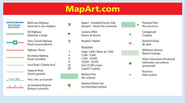
The provincial map features include multi-lane highways, toll highways, Trans-Canada Highway, highways, secondary highways, local roads, unpaved roads, ferries, accumulated distances, airports, customs offices, hospitals, populations, capitals, national parks, national historic sites, provincial parks, campgrounds, downhill skiing, wilderness reserves, provincial visitor information centres and rest areas.
Dimensions:
Folded: 11 x 24.8 cm (4.3125 x 9.75 inches)
Unfolded: 65.4 x 49.5 cm (25.75 x 19.5 inches)
Edition: 2024
Proudly made in Canada!
| Region | |
|---|---|
| Map Type | Laminated, Road |
| Brand |