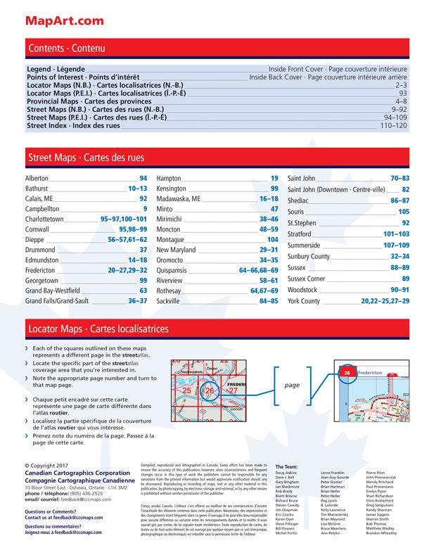
Additional information
| Region | |
|---|---|
| Map Type | Road atlas |
| Brand |
12.95$
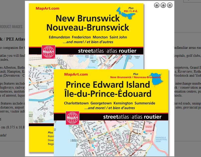
New Brunswick / PEI Atlas
0-66770-20266-2
It’s the definitive auto companion for travel in this area, whether you are a resident or short-term visitor. It’s got all the features to make even the unfamiliar areas easy to navigate.
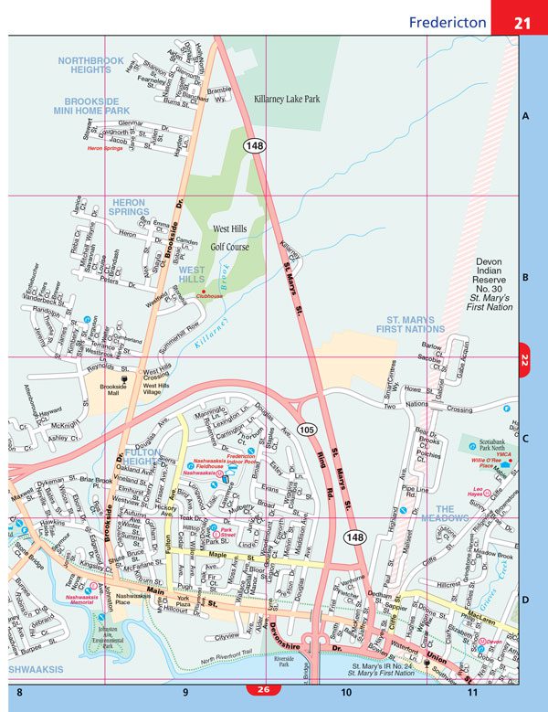
Inside this 128 page atlas you will find city maps (1:20,000), provincial road maps (1:800,000), locator maps, feature listings (points of interest, hospitals, golf clubs, post secondary schools) and a street index.
City mapping includes Alberton, Bathurst, Calais, ME, Campbellton, Charlottetown, Cornwall, Dieppe, Drummond, Edmundston, Fredericton, Georgetown, Grand Bay-Westfield, Grand Falls/Grand-Sault, Hampton, Kensington, Madawaska, ME, Minto, Mirimichi, Moncton, Montague, New Maryland, Oromocto, Quispamsis, Riverview, Rothesay, Sackville, Saint John, Saint John (Downtown · Centre-ville), Shediac, Souris, St.Stephen, Stratford, Summerside, Sunbury County, Sussex, Sussex Corner, Woodstock and York County.
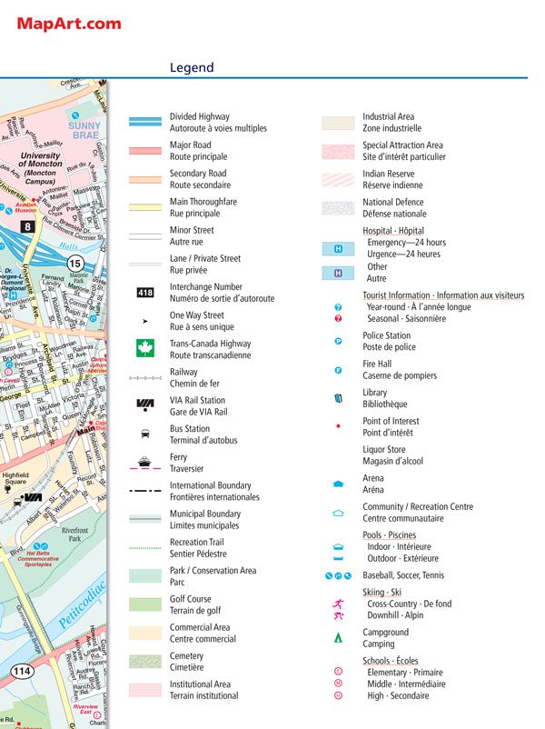
The detailed city maps features include divided highways, major roads, secondary roads, main thoroughfares, minor streets, lanes / private streets, interchange numbers, one way streets, trans-canada highways, railways, via rail stations, bus stations, ferries, international boundaries, municipal boundaries, recreation trails, park / conservation areas, golf courses, commercial areas, cemeteries, institutional areas, industrial areas, special attraction areas, indian reserves, national defences, hospitals, tourist information centres, police stations, fire halls, libraries, points of interest, liquor stores, arenas, community / recreation centres, pools, baseball, soccer, tennis, skiing, campgrounds and schools.
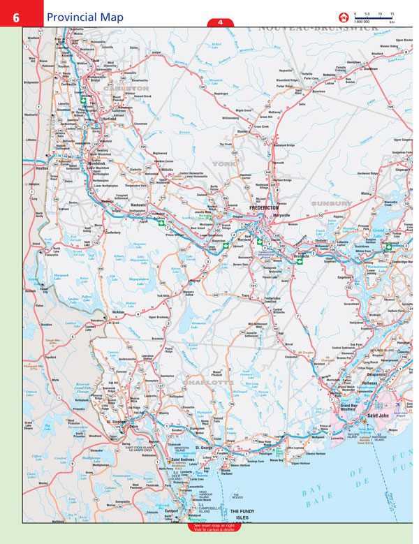
The provincial maps features include multi-lane highways, toll highways, Trans-Canada highway, highways, secondary highways, local roads, unpaved roads, unimproved roads, ferries, accumulated distances, airport – scheduled service only, border crossings, hospitals, populations, capitals, national parks, National Historic sites, provincial parks, campgrounds, skiing, wilderness reserves, visitor information (provincial) and rest areas.
Saddlestitched bound
Dimensions: 21 x 28 cm (8.375 x 10.875 inches)
Edition: 2017
Proudly made in Canada!
| Region | |
|---|---|
| Map Type | Road atlas |
| Brand |