Additional information
| Country | |
|---|---|
| Region | |
| Language | English |
| Brand | |
| Map Type | Road, Waterproof |
14.99$
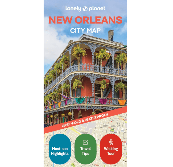
New Orleans – Lonely Planet Tourist Map
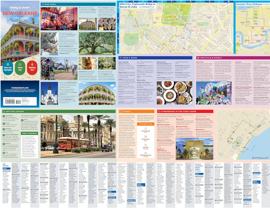
Durable and waterproof, with a handy case and an easy-to-fold format, Lonely Planet’s New Orleans City Map is your pocket-sized passport to stress-free travel. With this full-color, user-friendly navigation tool in your back pocket, you can truly get to the heart of New Orleans—so start your journey now!
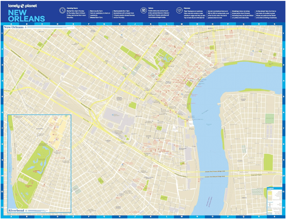
Coverage includes: French Quarter, Garden District, Gretna, Irish Channel, Lower Garden District, Mid-City, Riverbend, St. Roch, Tremé, Uptown, Warehouse District.
Looking for more extensive coverage? Check out Lonely Planet New Orleans, our most comprehensive guide to the city, covering top sights and the most authentic offbeat experiences. Or try Lonely Planet Pocket New Orleans, a handy-sized guide focused on can’t-miss experiences for a quick trip.
ISBN: 9781787015999
Publication date: 08/2025
Format: 24.8″ x 19.5″
Language: English only
| Country | |
|---|---|
| Region | |
| Language | English |
| Brand | |
| Map Type | Road, Waterproof |