Additional information
| Region | |
|---|---|
| Map Type | Laminated, Road |
| Brand |
9.95$
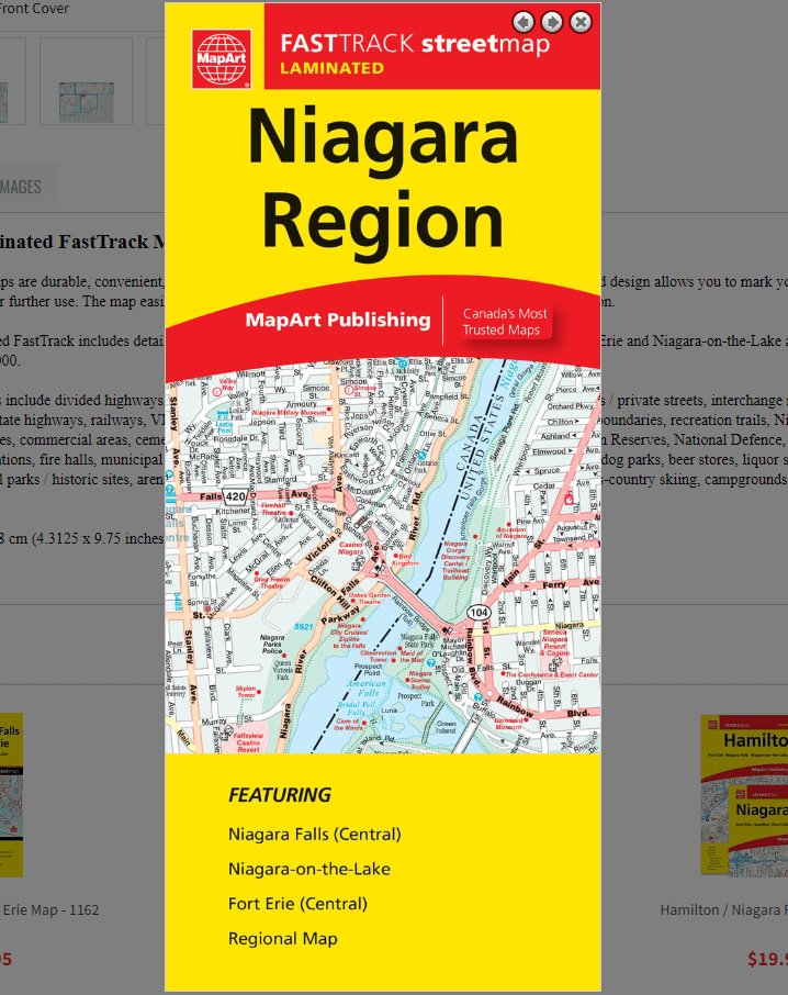
Niagara Region Laminated FastTrack Map
061158012734
Laminated Map FastTrack maps are durable, convenient, and take all the wear and tear your journey can dish out. The laminated design allows you to mark your route, make notes, then wipe the surface clean for further use. The map easily folds to display individual sections. This is a must-have for navigation.
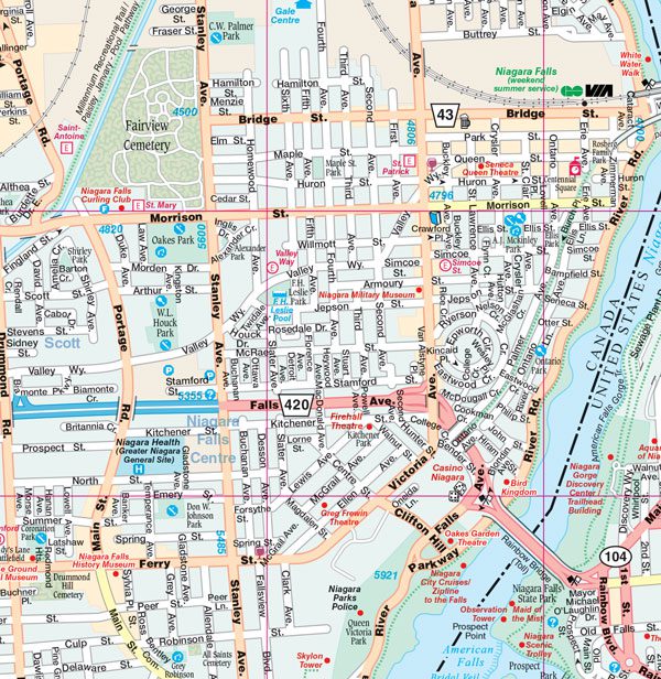
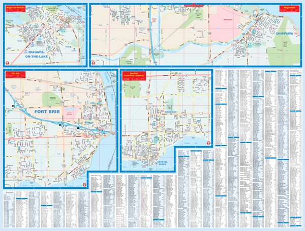
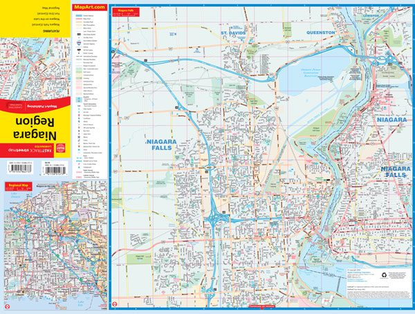
The Niagara Region Laminated FastTrack includes detailed city maps at 1:25,000 of the central portions of Niagara Falls, Fort Erie and Niagara-on-the-Lake as well as a regional map of the Niagara Area at 1:250,000.
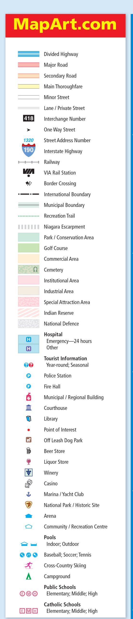
The detailed city map features include divided highways, major roads, secondary roads, main thoroughfares, minor streets, lanes / private streets, interchange numbers, one way streets, street address numbers, Interstate highways, railways, VIA Rail stations, border crossings, international boundaries, municipal boundaries, recreation trails, Niagara Escarpment, parks / conservation areas, golf courses, commercial areas, cemeteries, institutional areas, industrial areas, special attraction area, Indian Reserves, National Defence, hospitals, tourist information centres, police stations, fire halls, municipal / regional buildings, courthouses, libraries, points of interest, off leash dog parks, beer stores, liquor stores, wineries, casinos, marinas / yacht clubs, national parks / historic sites, arenas, community / recreation centres, pools, baseball, soccer, tennis, cross-country skiing, campgrounds, public and catholic schools.
Dimensions:
Folded: 11 x 24.8 cm (4.3125 x 9.75 inches)
Unfolded: 65.4 x 49.5 cm (25.75 x 19.5 inches)
Edition: 2024
Proudly made in Canada!