Additional information
| Language | English, French |
|---|---|
| Plastification | Paper, Plastic |
| Region | |
| Brand |
Price range: 30.95$ through 45.95$
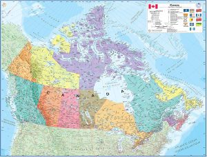
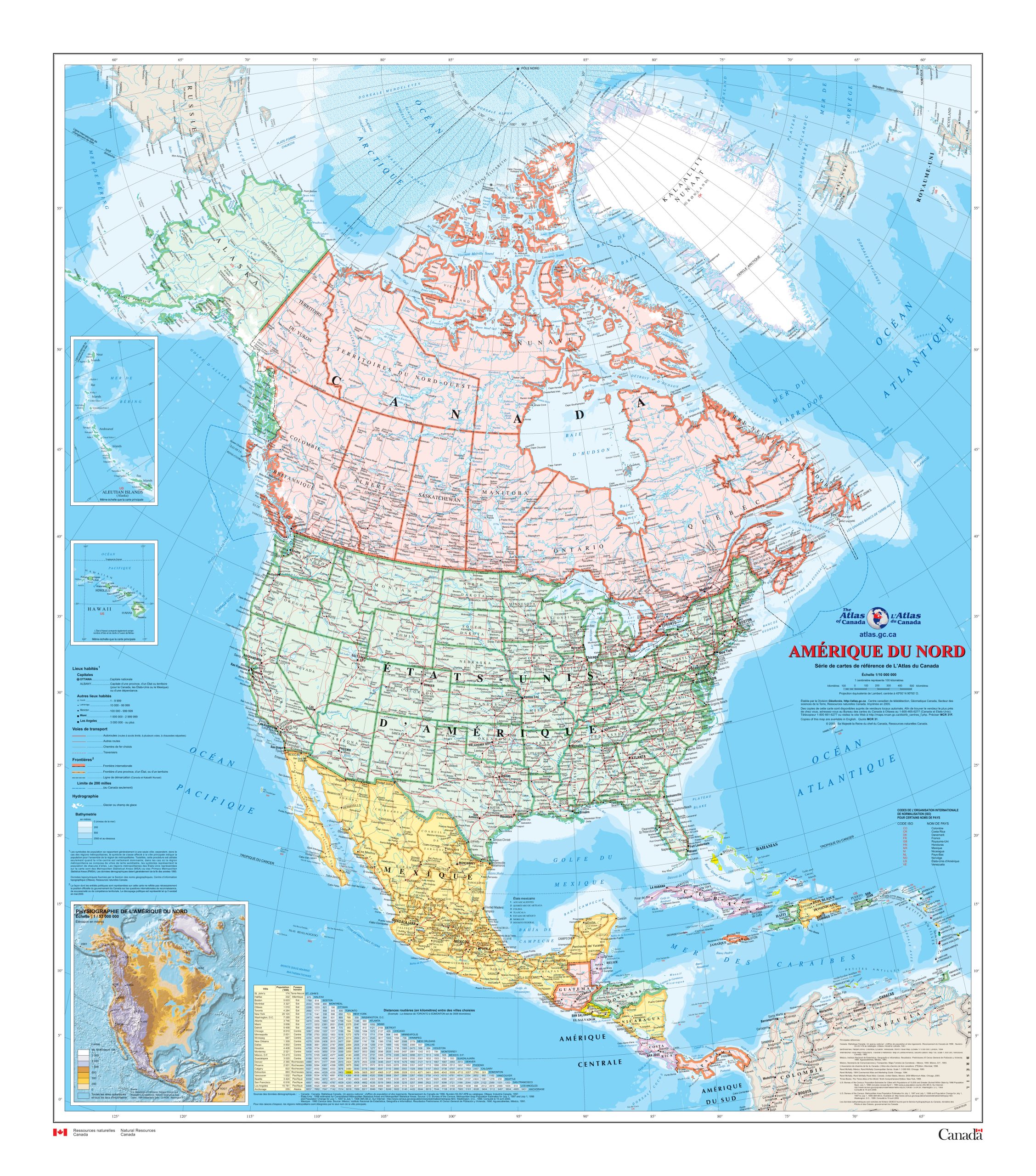
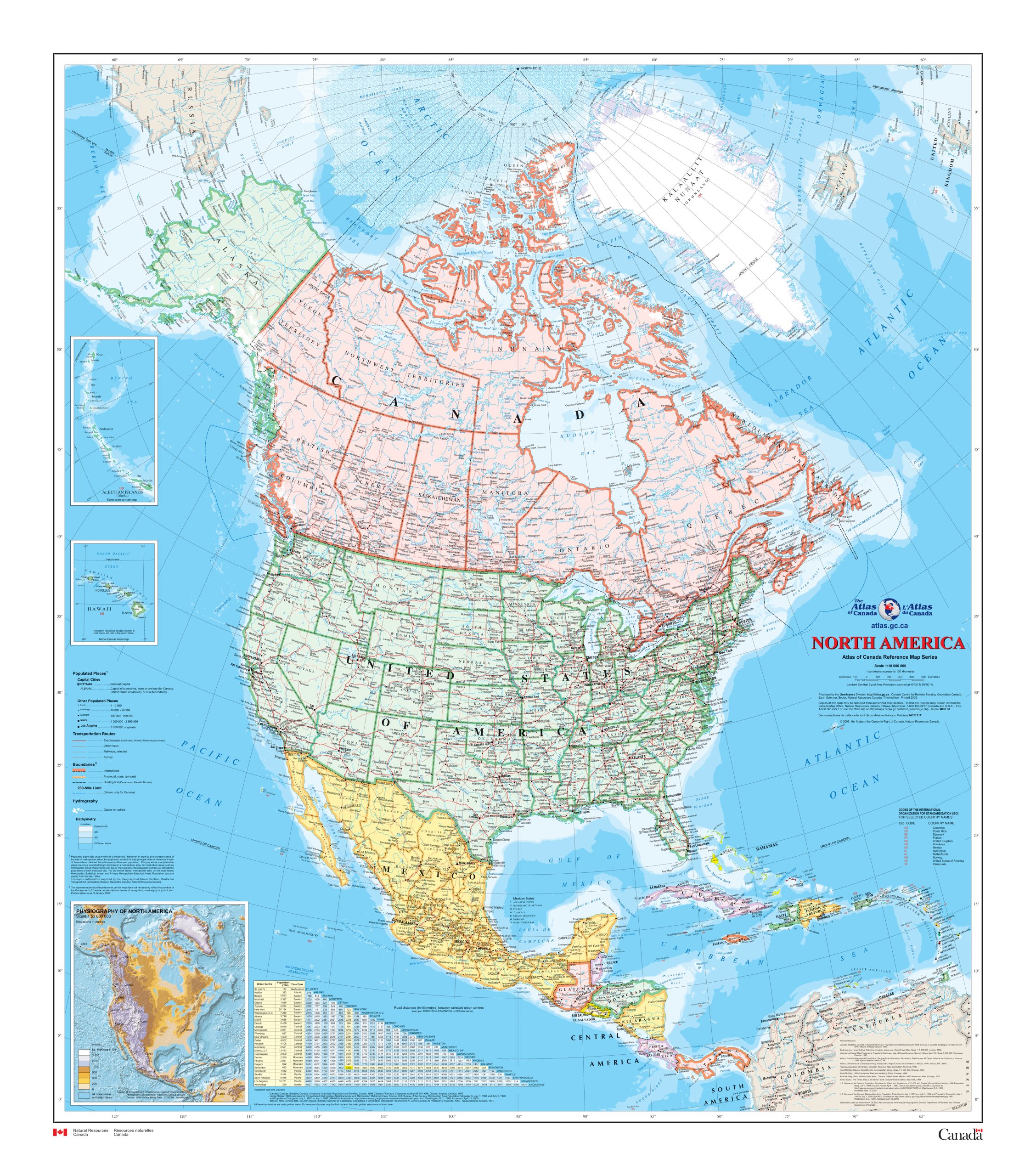
Contained within the Atlas of Canada’s Reference Map Series, North America Wall Map (MCR0031) is the latest version of a regularly-updated map of the National Atlas of Canada Base Map Series.
Each version shows North America at a scale of 1: 10 000 000. The map is a general reference map giving detailed coverage of populated places, transportation routes and the drainage network. Land areas are coloured to represent individual countries and dependencies, whereas offshore areas are coloured to show bathymetry. The map sheet has two inset maps: one is an inset for Hawaii, also at 1: 10 000 000; the second is a 1: 53 000 000 inset of North America showing relief, and noting significant mountain elevations. There is also a table of road mileages between major cities.
Description:
Dimensions :
Format:
Visit our Map Accessories page to maximize your experience with your new North America Wall Map (MCR0031).
| Language | English, French |
|---|---|
| Plastification | Paper, Plastic |
| Region | |
| Brand |