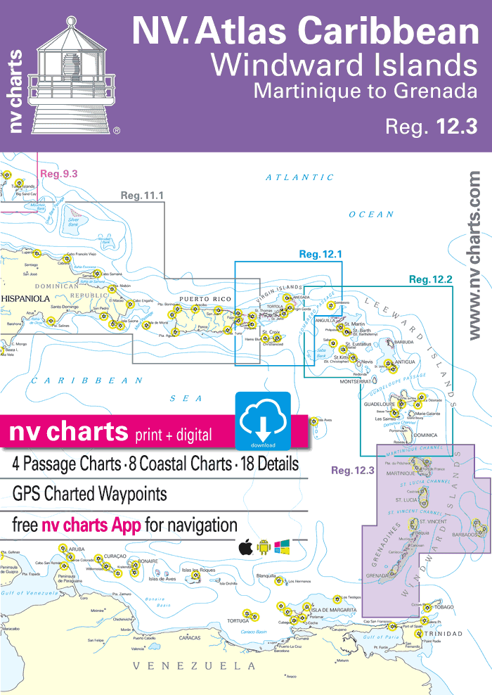
NV Atlas Nautical charts Caribbean 12.3: Windward Islands, Martinique to Grenada
139.95$
NV Atlas Nautical charts Caribbean 12.3: Windward Islands, Martinique to Grenada
With the NV Charts Atlas Caribbean 12.3, you have the ideal companion for exploring the Windward Islands from Martinique to Grenada. Thanks to its clear structure, you can quickly find approaches, ports, and anchorages, along with essential navigation details—also available via the NV Charts app. The chart set stands out with its optimal dimensions and well-balanced layout cuts.
Format: 23½’’ x 16½’’ (11.7 x 16.5 in)
Edition: 2022/23
Region Overview
The Windward Islands form a stunning section of the Lesser Antilles in the eastern Caribbean, stretching from Martinique in the north to Grenada in the south. Sailors can enjoy a mix of breathtaking nature, vibrant culture, and excellent sailing conditions.
From the black sand beaches of St. Vincent to the scenic bays of St. Lucia and the spice-scented shores of Grenada, the region is full of idyllic spots to relax and soak in the Caribbean life. The Tobago Cays in St. Vincent and the Grenadines are a must-visit for snorkeling and diving with sea turtles amid vibrant coral reefs. Culture lovers will enjoy St. Lucia’s lively carnival and the charming French towns of Martinique.
Tip: The NV Charts Atlas Caribbean 12.2 connects directly to the north of this chart set.
This Chart Set Includes:
-
4 Passage Charts
-
8 Coastal Charts
-
18 Detailed Charts
-
Digital charts for NV navigation software and app (356-day license)
-
In English
-
Compliant with legal requirements for official onboard paper charts
Chart Scales
Passage Charts
-
C0 Caribbean Sea – 1:6,500,000
-
C1 Windward Islands – 1:900,000
-
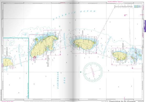
C2 Dominica to St. Vincent – 1:500,000
-
C3 St. Vincent to Trinidad – 1:500,000
Coastal Charts
-
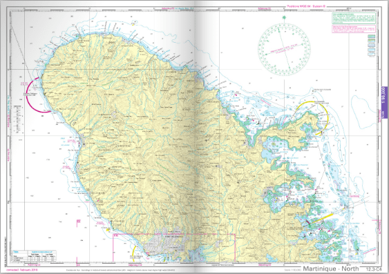
C4 Martinique North – 1:90,000
-
C5 Martinique South – 1:90,000
-
C6 St. Lucia – 1:90,000
-
C7 St. Vincent to Bequia – 1:90,000
-
C8 Bequia to Union Island – 1:90,000
-
C9 Union Island to Grenada – 1:90,000
-
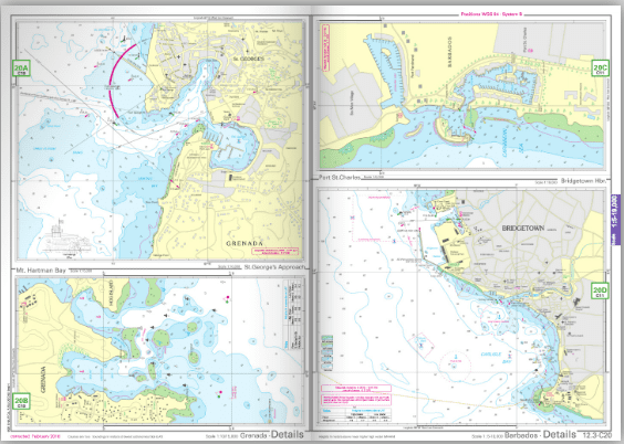
C10 Grenada – 1:90,000
-
C11 Barbados – 1:90,000
Detail Charts
-
C12 Martinique · Fort-de-France – 1:30,000
-
C13 Martinique · Cul-de-Sac du Marin – 1:20,000
-
C14A St. Lucia · Rodney Bay – 1:15,000
-
C14B St. Lucia · Port Castries – 1:10,000
-
C14C St. Lucia · Marigot Bay – 1:5,500
-
C15 St. Vincent · Southwest Coast – 1:15,000
-
C16A Canouan · Charlestown Bay – 1:15,000
-
C16B Bequia · Admiralty Bay – 1:15,000
-
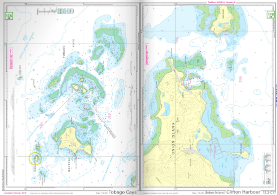
C17A Tobago Cays – 1:30,000
-
C17B Union Island · Clifton Harbour – 1:15,000
-
C18A Petit St. Vincent – 1:30,000
-
C18B West Carriacou – 1:30,000
-
C18C Mustique · Britannia Bay – 1:30,000
-
C19 Southwest Grenada – 1:30,000
-
C20A Grenada · St. George’s Approach – 1:10,000
-
C20B Grenada · Mt. Hartmann Bay – 1:15,000
-
C20C Barbados · Port St. Charles – 1:5,000
-
C20D Barbados · Bridgetown Harbour – 1:19,000
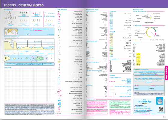
Legend and General Notes: p. 22