Additional information
| Region | |
|---|---|
| Map Type | Road atlas |
| Brand |
24.95$
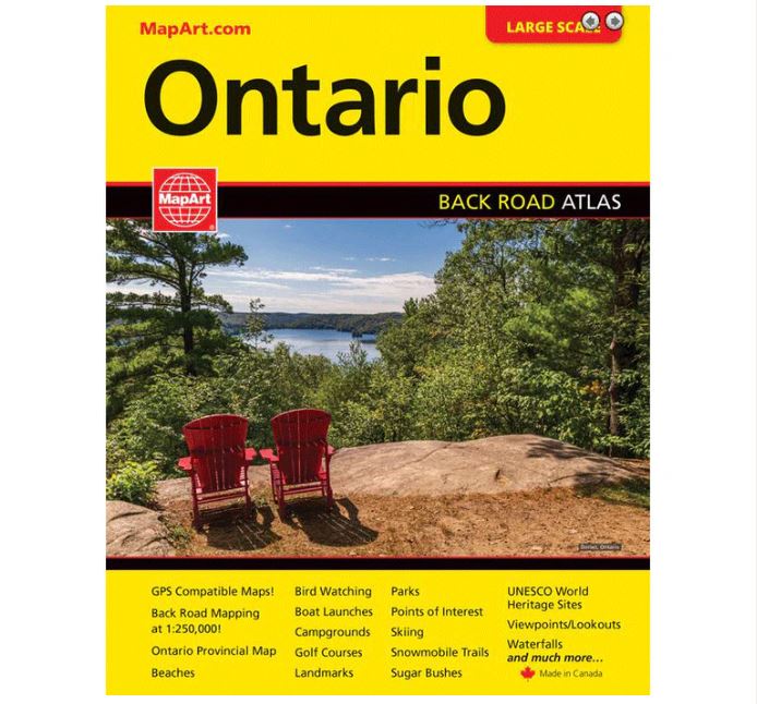
Ontario Atlas
061158012178
It’s the definitive auto companion for travel in this area, whether you are a resident or short-term visitor. It’s got all the features to make even the unfamiliar areas easy to navigate.
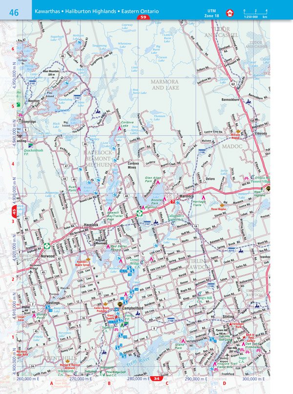
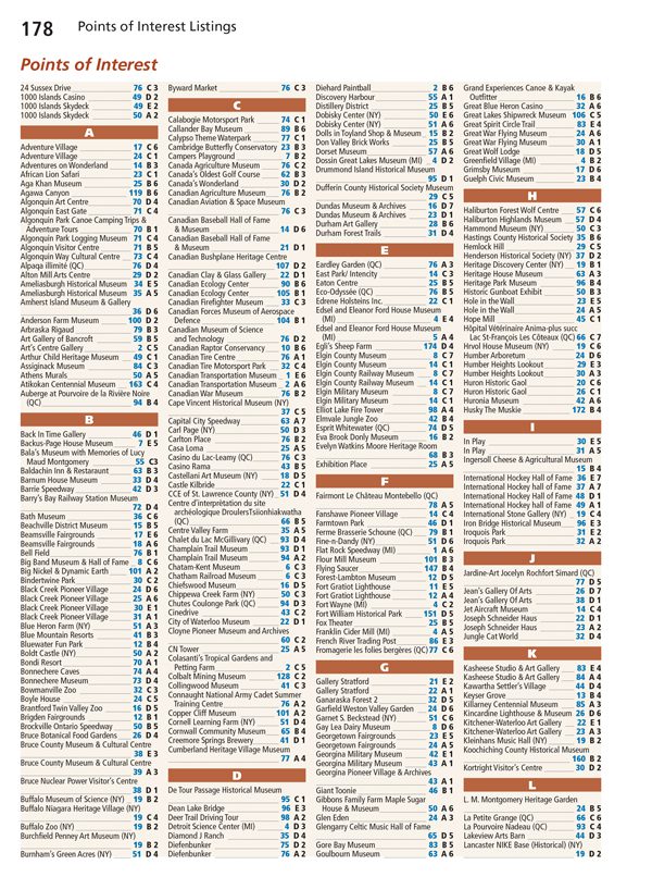
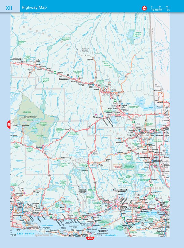
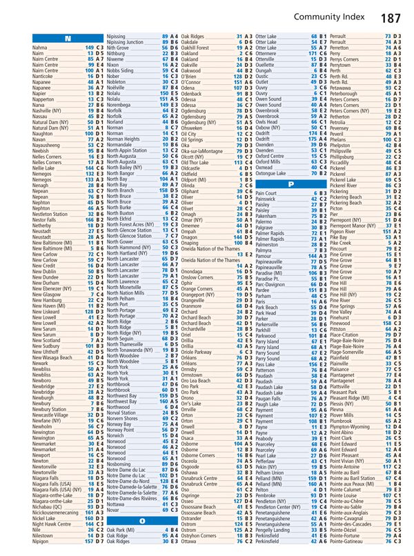
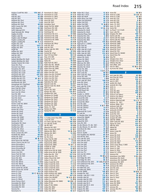
Inside this 256 page atlas you will find back road maps (1:250,000), highway map, locator maps, points of interest listing, Ontario distance chart, ONRoute service centres map and listings, community index, road index.
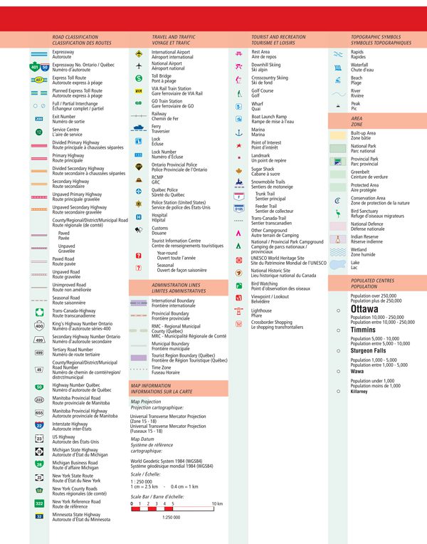
The regional maps features include expressways, express toll routes, interchanges, exit numbers, service centres, primary highways, secondary highways, county roads, paved roads, unpaved roads, unimproved roads, seasonal roads, airports, toll bridges, VIA Rail stations, GO Train stations, railways, ferries, locks, lock numbers, OPP, RCMP, Québec police, hospitals, customs, tourist information centres, boundaries, time zones, rest areas, skiing, golf courses, wharfs, boat launch ramps, marinas, points of interest, landmarks, sugar shacks, snowmobile trails, Trans-Canada trail, campgrounds, UNESCO World Heritage sites, National Historic sites, bird watching, viewpoints/lookouts, lighthouses, crossborder shopping, rapids, waterfalls, beaches, peaks, national parks, provincial parks, greenbelts, conservation areas, bird sanctuaries, National Defence, Indian reserves, populations and more.
Wire-O bound
Dimensions: 22 x 27 cm (8.5 x 10.75 inches)
Edition: 2022
Proudly made in Canada!