Additional information
| Region | |
|---|---|
| Map Type | Paper, Road |
| Brand |
7.95$
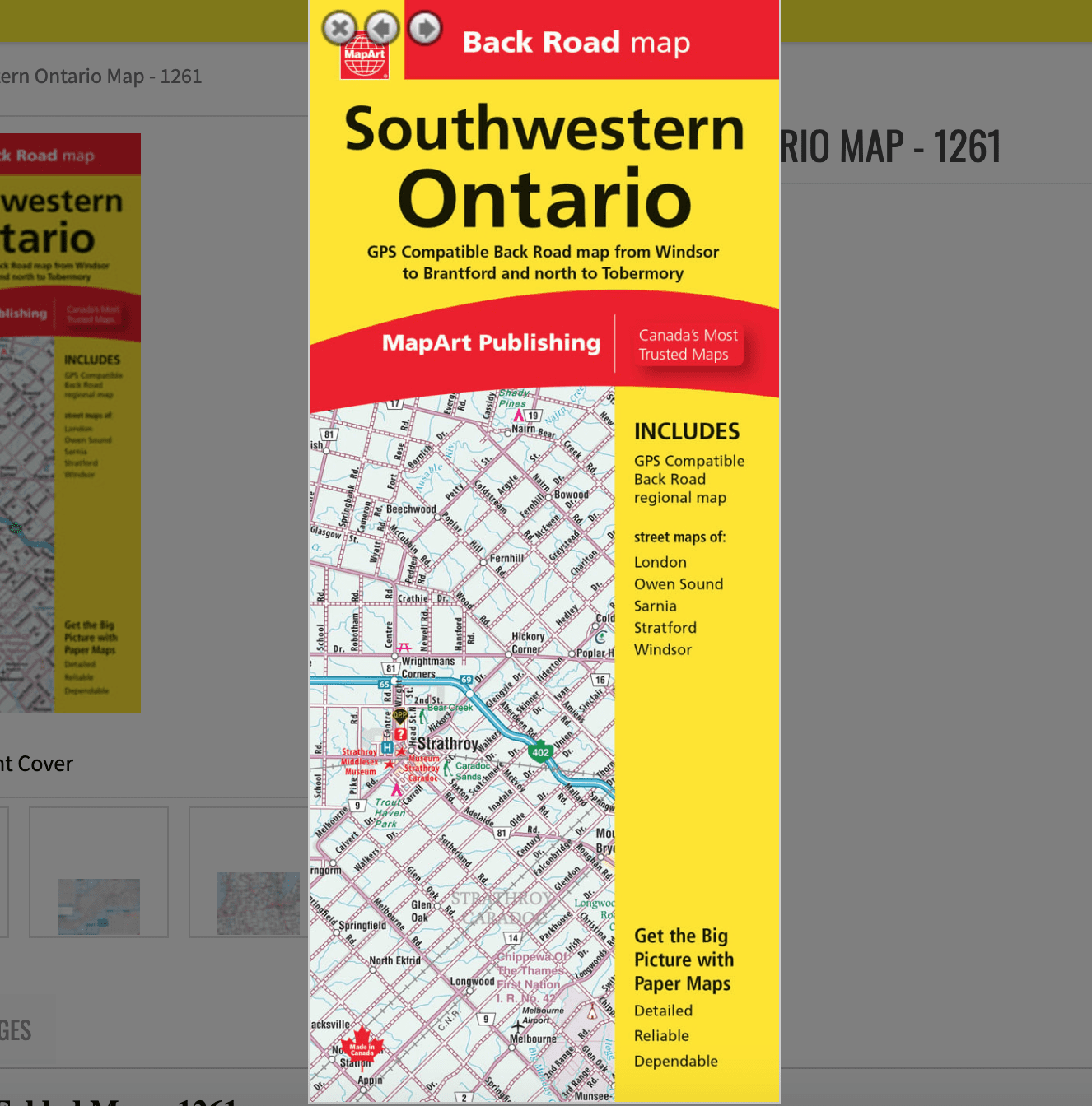
Folded Map of Southwestern Ontario
066770202204
Folded maps have been the trusted standard for years, offering unbeatable accuracy and reliability at a great price. Detailed indexes make locating destinations quick and easy.
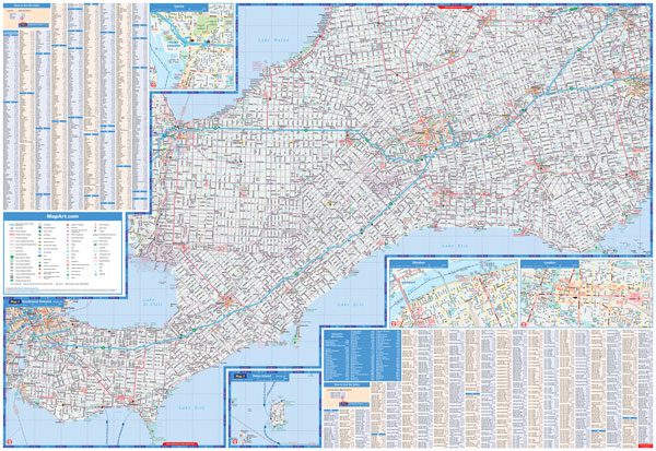
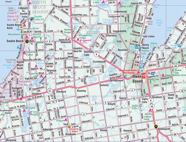
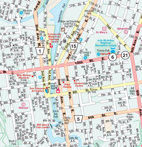
The Folded Map of South Central Ontario contains 1:250,000 regional secondary road mapping, a regional map legend, a community index, and a road index. Also included are 1:25,000 city maps with a downtown focus, including London, Owen Sound, Sarnia, Stratford, and Windsor.
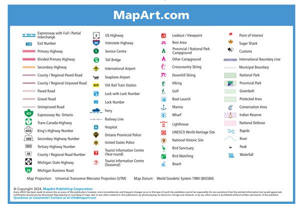
Regional map features include highways, exit numbers, freeways, paved and unpaved roads, unimproved roads, service centres, toll bridges, airports, VIA Rail stations, locks, lock numbers, ferries, railways, Ontario Provincial Police, tourist information centres, hospitals, lookouts, rest areas, campgrounds, skiing, hiking, golf, boat launches, marinas, docks, lighthouses, UNESCO World Heritage Sites, National Historic Sites, bird sanctuaries, bird watching, beaches, points of interest, sugar shacks, customs, borders, national parks, provincial parks, greenbelts, protected areas, conservation areas, Indian reserves, National Defence, rapids, peaks, waterfalls and more.
Dimensions:
Folded: 10.2 x 23.5 cm (4 x 9.25 inches)
Unfolded: 68.6 x 99.7 cm (27 x 39.25 inches)
Edition: 2023
Proudly made in Canada!