Additional information
| Region | |
|---|---|
| Map Type | Road atlas |
| Brand |
9.95$
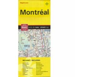
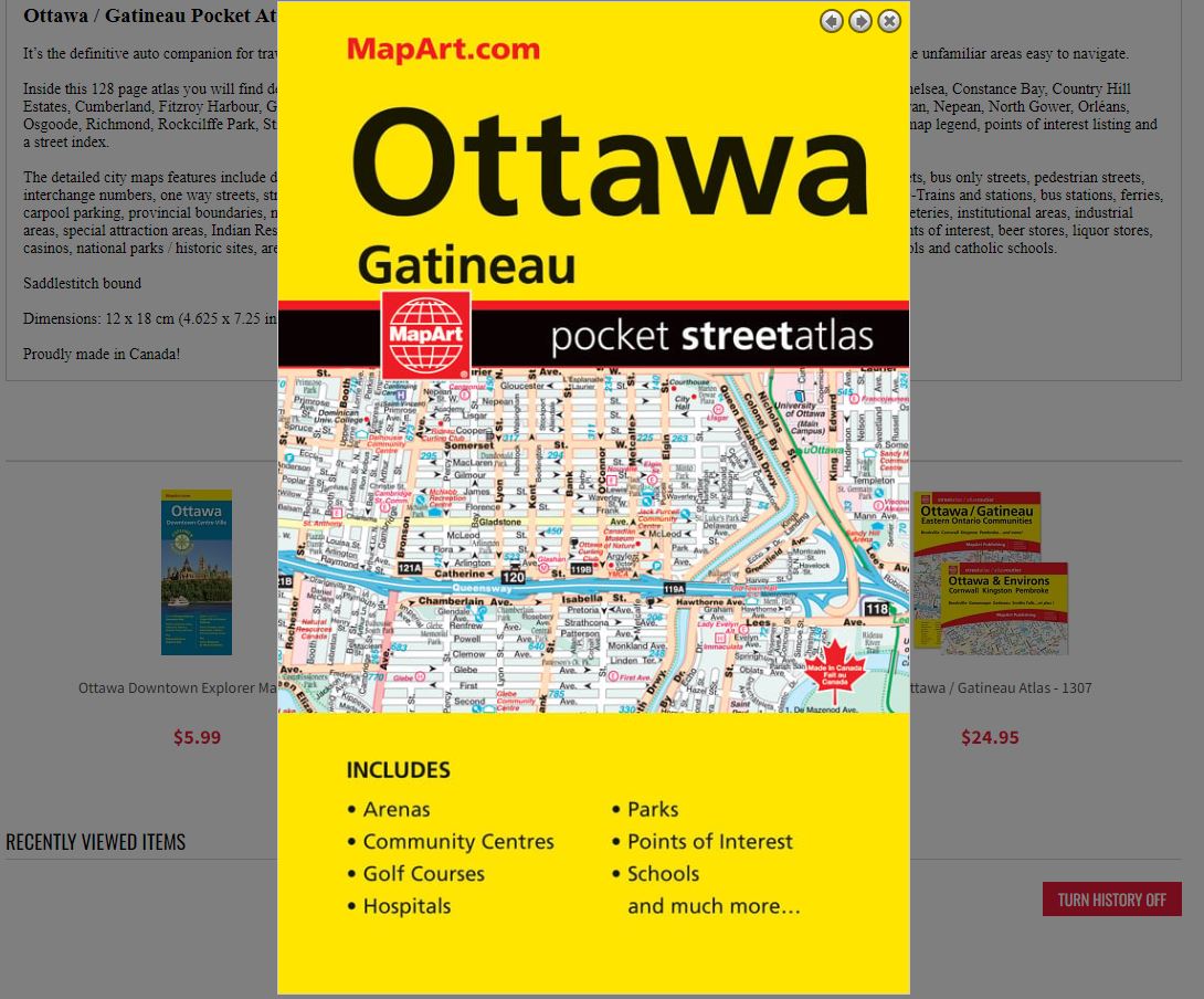
Ottawa / Gatineau Pocket Atlas
0-66770-20377-5
It’s the definitive auto companion for travel in this area, whether you are a resident or short-term visitor. It’s got all the features to make even the unfamiliar areas easy to navigate.
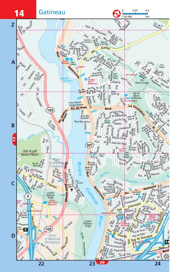
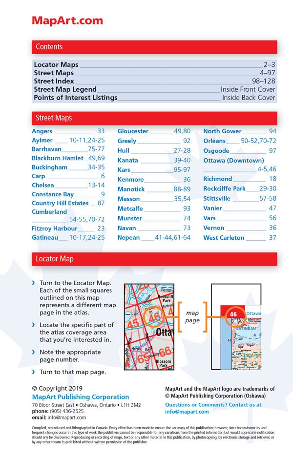
Inside this 128 page atlas you will find detailed city maps at 1:30,000 of Angers, Aylmer, Barrhavan, Blackburn Hamlet, Buckingham, Carp, Chelsea, Constance Bay, Country Hill Estates, Cumberland, Fitzroy Harbour, Gatineau, Gloucester, Greely, Hull, Kanata, Kars, Kenmore, Manotick, Masson, Metcalfe, Munster, Navan, Nepean, North Gower, Orléans, Osgoode, Richmond, Rockcilffe Park, Stittsville, Vanier, Vars, Vernon and West Carleton, a downtown Ottawa map at 1:20,000, locator maps, map legend, points of interest listing and a street index.
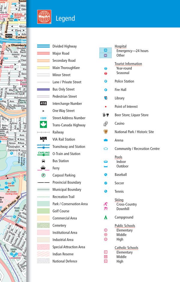
The detailed city maps features include divided highways, major roads, secondary roads, main thoroughfares, minor streets, lanes / private streets, bus only streets, pedestrian streets, interchange numbers, one way streets, street address numbers, Trans-Canada Highway, railways, VIA Rail stations, Transitways and stations, O-Trains and stations, bus stations, ferries, carpool parking, provincial boundaries, municipal boundaries, recreation trails, parks / conservation areas, golf courses, commercial areas, cemeteries, institutional areas, industrial areas, special attraction areas, Indian Reserves, National Defence, hospitals, tourist information centres, police stations, fire halls, libraries, points of interest, beer stores, liquor stores, casinos, national parks / historic sites, arenas, community / recreation centres, pools, baseball, soccer, tennis, skiing, campgrounds, public schools and catholic schools.
Saddlestitch bound
Dimensions: 12 x 18 cm (4.625 x 7.25 inches)
Edition: 2019
Proudly made in Canada!