Additional information
| Region | |
|---|---|
| Map Type | Road atlas |
| Brand |
9.95$
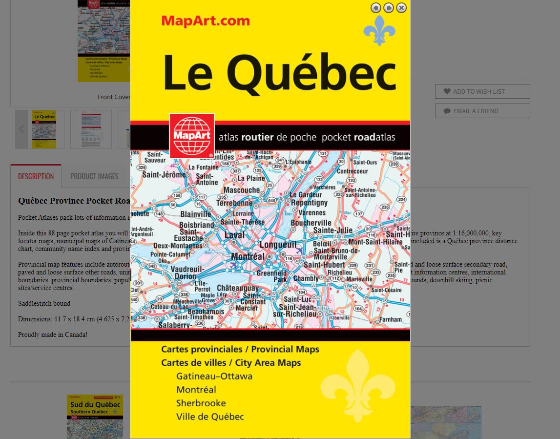
Québec Province Pocket Road Atlas
0-66770-20202-0
Pocket Atlases pack lots of information in a handy size that easily fits into a purse or pocket.
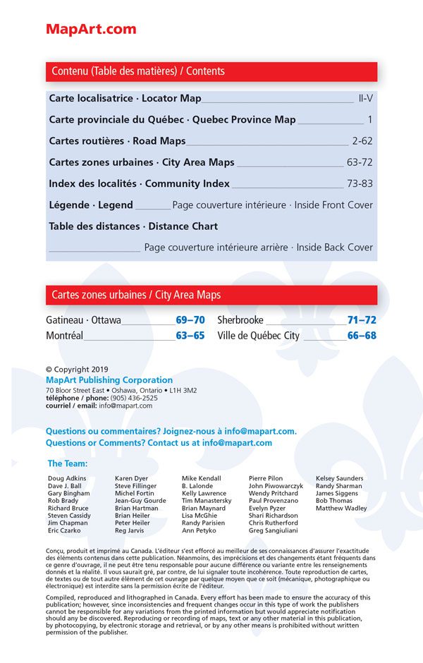
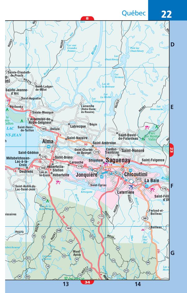
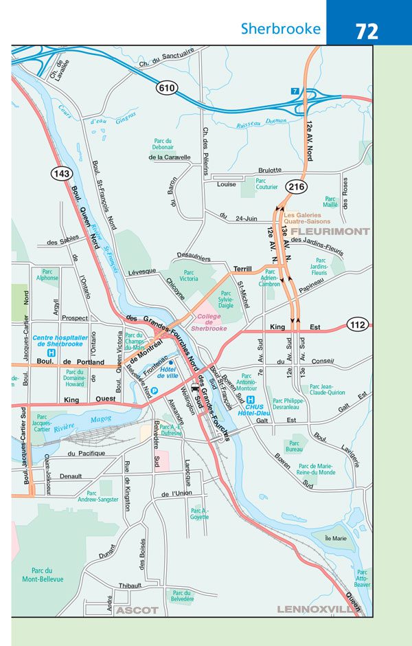
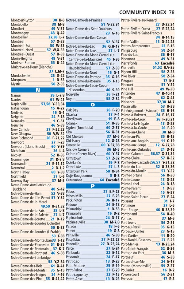
Inside this 88 page pocket atlas you will find provincial mapping for Québec province at a scale of 1:1,000,000 and 1:500,000 as well as the entire province at 1:16,000,000, key locator maps, municipal maps of Gatineau/Ottawa (1:50,000),Montréal (1:200,000), Sherbrooke (1:50,000) and Québec City (1:125,000). Also included is a Québec province distance chart, community name index and provincial map legend.
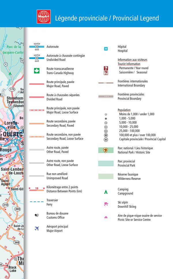
Provincial map features include autoroutes, undivided roads, Trans-Canada Highway, paved and loose surface major roads, divided roads, paved and loose surface secondary road, paved and loose surface other roads, unimproved roads, distances between points (km), ferries, customs offices, major airports, hospitals, tourist information centres, international boundaries, provincial boundaries, populations, provincial capitals, national parks / historic sites, provincial parks, wilderness reserves, campgrounds, downhill skiing, picnic sites/service centres.
Saddlestitch bound
Dimensions: 11.7 x 18.4 cm (4.625 x 7.25 inches)
Edition: 2019
Proudly made in Canada!