Additional information
| Brand |
|---|
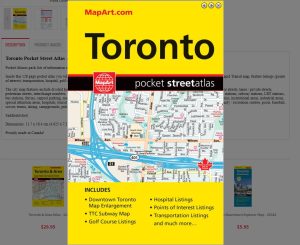
39.95$
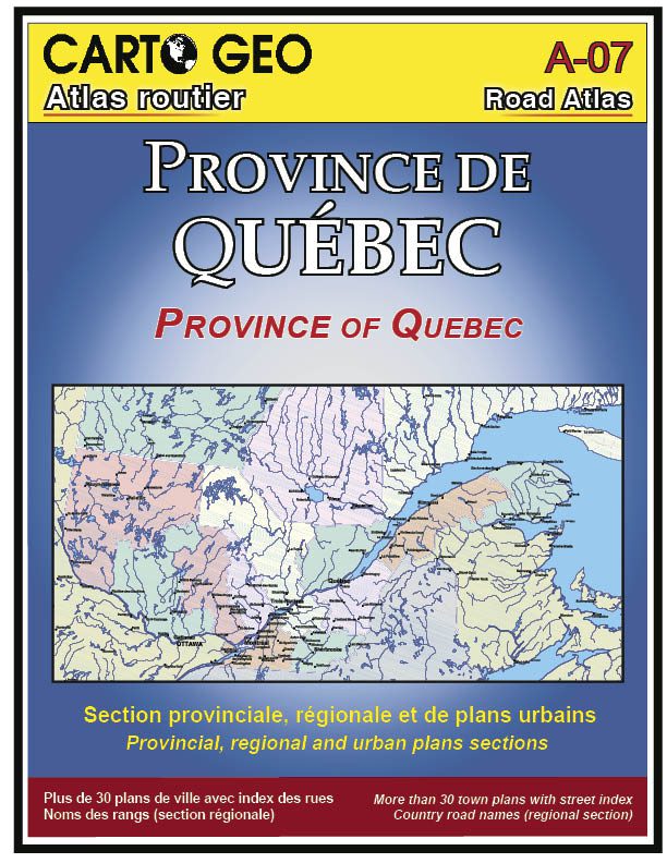
Quebec Road Atlas – Carto Geo is the best road atlas for the province of Quebec. It is made in Quebec, designed and printed by a craftsman in the greater Montreal area.
The large Quebec road atlas from Carto Géo is a must-have for navigating Quebec. This road atlas presents an attractive and accurate document of Quebec’s southern tourist regions, from the Outaouais to the North Shore and from Montérégie to the Gaspé Peninsula.
For a more detailed road atlas detailed information on the greater Montreal area, please see the Greater Montréal Road Atlas by Carto Geo.
| Brand |
|---|