Quebec Topo Map 1:20 000 – 11M01-200-202

Price range: 19.95$ through 31.95$

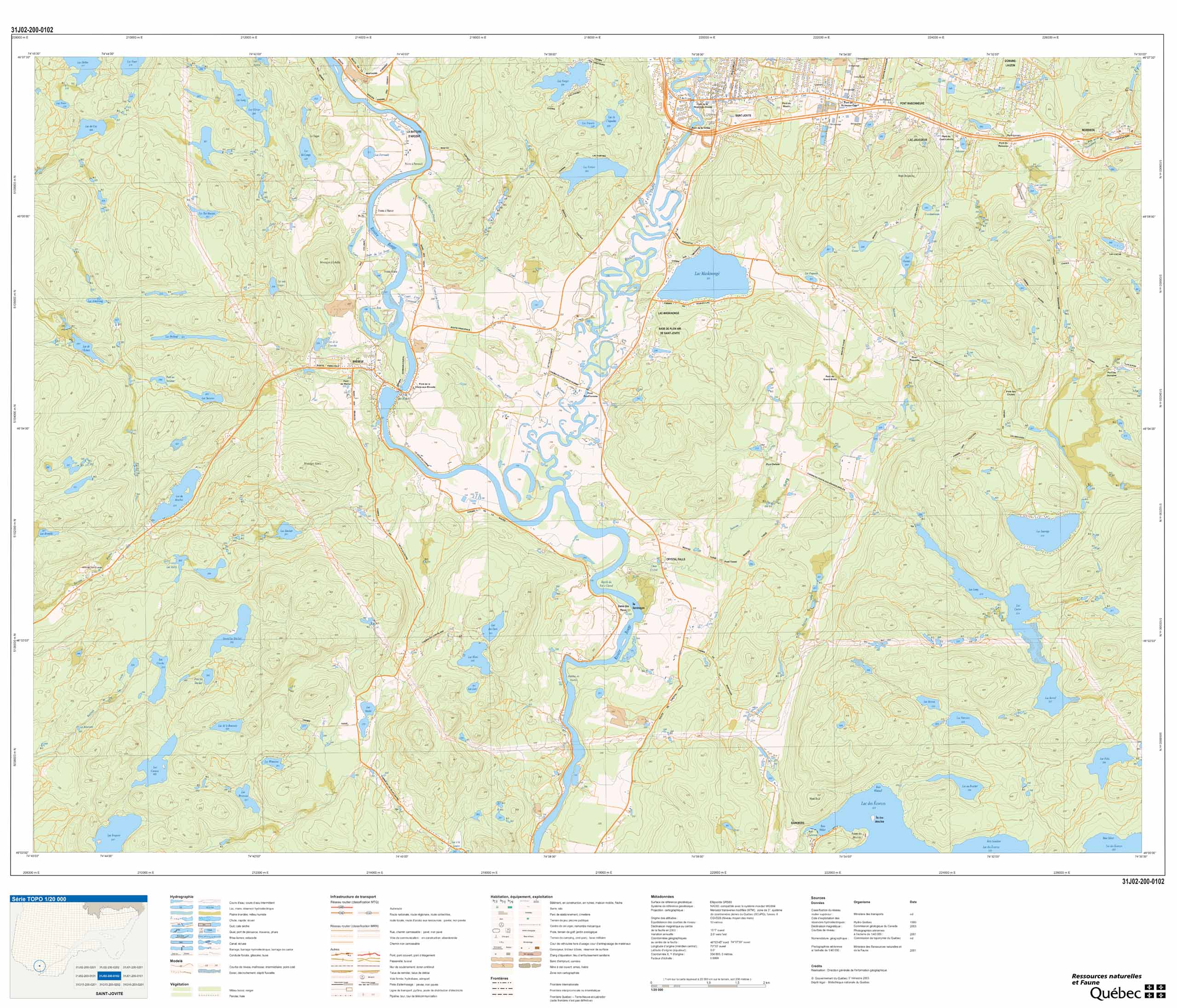
Quebec Topo Map 1:20 000 constitute the official cartographic base of the Government of Quebec.

They cover almost the entire territory south of the 52nd parallel.

The data is extracted from aerial photographs at a scale of 1:40,000 taken at an altitude of 6,300 meters.

They offer an accuracy of approximately four meters in planimetry. In hypsometry, it is approximately two meters for dimensioned points and approximately five meters for contour lines.

Each file covers an area of ​​approximately 250 km2.

The main components are:
  • Hydrography (lakes, rivers, streams, swamps, etc.).
  • Vegetation (forests, peat bogs, nurseries, orchards, etc.).
  • Man’s constructions:
    • transport infrastructure (roads, bridges, airports, etc.);
    • buildings (mobile homes, silos, greenhouses, etc.);
    • equipment (docks, electrical power transmission lines, surface tanks, etc.);
  • designated areas (golf courses, borrow pits, etc.).
  • The relief (the contour lines are generally at an equidistance of ten meters and, in some cases, they can vary between eight and twenty meters).

Chart index of the 1:20 000 scale topo maps

To see our topo map collection, click here.

Dimensions:
  • 42 x 36 in
  • 106 x 91,5 cm
  • The size of topographic maps scale 1:20,000 – Government of Quebec MRNF may vary depending on the edition of the map because the covering of the map, what is found in the margin, outside the map, varies depending on its edition .
Format:
  • Paper: cheaper but more fragile. Not recommended for outdoor excursions. Ideal for using a lead pencil or highlighters.
  • Laminated: tear-resistant and waterproof. Possibility of writing and erasing on the card using permanent marker or non-permanent. The best choice for keeping Topographic Maps Scale 1: 50 000 longer, whether in your home or outdoors.

Additional information

Brand

Plastification

Paper, Plastic

Format

Folded, Rolled